
BUCKBOARD CROSSING
USFS · Campground · Fee
Fast facts
- Cost
- Fee charged
- Managed by
- USFS
- Type
- Campground
- Reservations
- recreation.gov
- Phone
- 435-784-3445
- Nearest dump station
- Lily Lake Comfort Station · 68.2 mi
- Coordinates
- 41.2494, -109.6014
- Last verified
- September 19, 2026


About this place
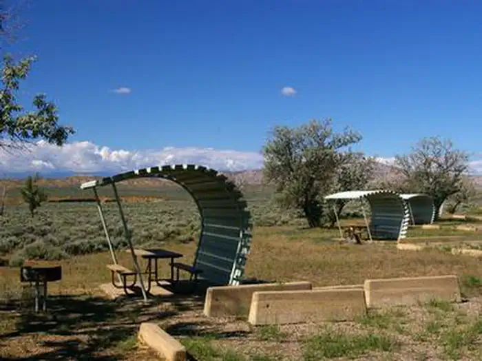
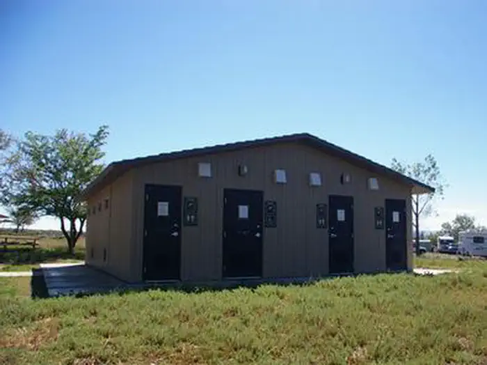
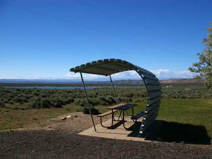
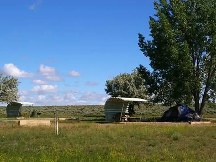
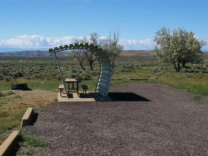
Overview Buckboard Crossing Campground is located on the far northwest shore of Flaming Gorge Reservoir at an elevation of 6,100 feet. Boating, fishing and water skiing are popular activities. Recreation Fishing, boating, canoeing, water skiing and swimming are popular activities on the lake. Campers are offered the convenience of an adjacent boat ramp, marina and fish cleaning station. Buckboard Marina has boat rentals, fuel, slips, fishing licenses, bait and groceries. Facilities The campground consists of 66 single-family campsites, most of which can be reserved. Several sites in Loop A have electrical hookups. Most sites have a shade cabana, picnic table and campfire ring. Some sites have grills and/or fire rings. Flush toilets, drinking water and showers are provided. Non-campers can use the shower facilities for a small fee. A dump station is located on-site. Natural Features The campground is situated in a high desert landscape with sagebrush and a few scattered trees. Natural shade is minimal. Typical weather ranges from warm days to cool nights. Nearby Attractions Flaming Gorge Dam offers guided tours of the working hydroelectric plant and the dam itself; The adjacent visitor center contains area history exhibits. Contact Info For facility specific information, please call (801) 226-3564.
From the USFS.Official page
Is BUCKBOARD CROSSING free?
No. BUCKBOARD CROSSING charges a fee. It is managed by the USFS. Sites are reservable through recreation.gov.
How do I get to BUCKBOARD CROSSING?
BUCKBOARD CROSSING is at 41.2494, -109.6014. We do not hold written directions for this one, so navigate to the coordinates.
Nearby
SourceData from the USFS. Last synced September 19, 2026. Community reports and photos are submitted by travelers and are not verified by the agency.
