
DEAD SWEDE
Campground · Fee
Fast facts
- Cost
- Fee charged
- Type
- Campground
- Phone
- 406-587-9054
- Nearest dump station
- Burgess Rv Dump Station · 6.8 mi
- Coordinates
- 44.6892, -107.4467
- Last verified
- September 19, 2026
About this place
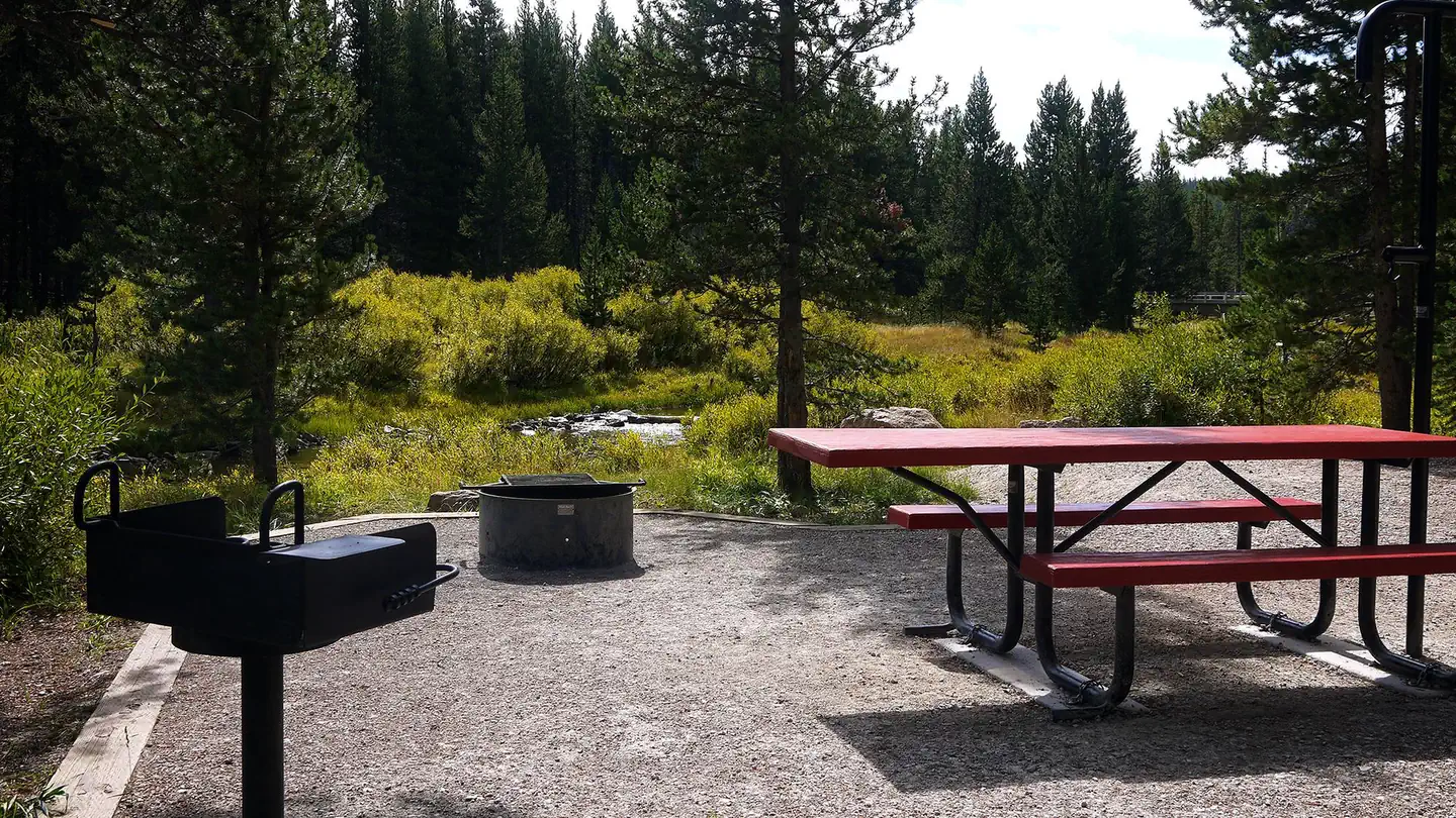
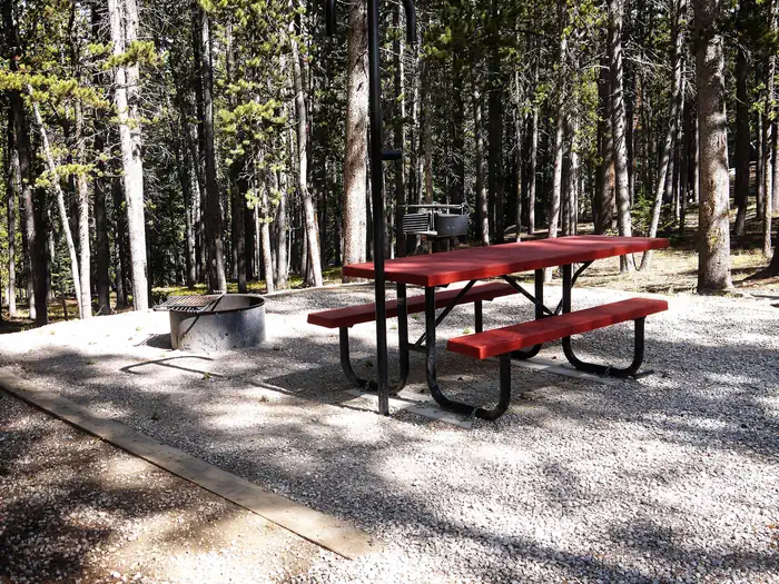
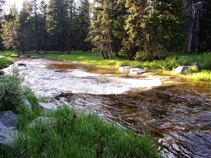
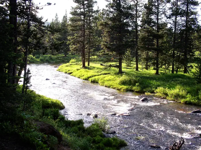
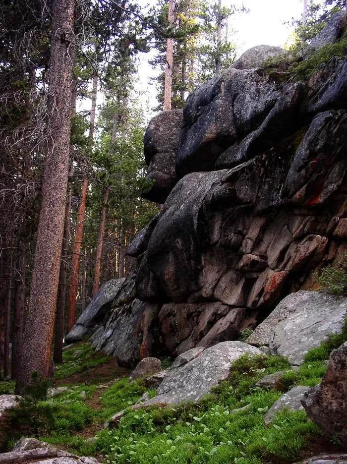
Overview Dead Swede Campground is located just off the Bighorn Scenic Byway (U.S. Highway 14) near the Burgess Overlook and Woodrock areas at an elevation of 8,400 feet. The Bighorn National Forest offers a wide variety of activities, including hiking, fishing, scenic driving and a number of historic sites. The administering organization is Rustic Freedom/Gallatin Canyon Campgrounds; e-mail: [email protected]; phone number: 307-431-7446. Recreation Off-road vehicle trails, scenic jeep roads, hiking, fishing and canoeing are available in the surrounding area. Diverse hikes vary from loop trails to treks along creeks and over mountain peaks; many trails access the Cloud Peak Wilderness. Nearby Sibley Lake is open to non-motorized craft and offers an accessible fishing dock on the shoreline. Anglers fish for rainbow, brown and brook trout. Facilities The campground offers several single-family sites, two of which are accessible, each equipped with a picnic table and campfire ring with grill. Accessible vault toilets, drinking water and trash collection are provided. Natural Features The campground is situated on the banks of the South Tongue River in the Bighorn Mountains, where craggy granite peaks rise over 13,000 feet above sea level. A forest of lodgepole pines covers the area, creating great wildlife habitat. Contact Info For facility specific information, please call (304) 431-7446. Nearby Attractions Decades ago, many trees in the Tie Flume area were cut for railroad ties. Remnants of the old splash dams and tie flumes are found on the nearby river. Shell Falls Visitor Center, at the overlook of Shell Falls, is about 21 miles southwest. This center offers interpretive trails, scenic views, and educational displays about natural features such as flora and fauna and area history. Bear Lodge, Elk View Inn and other nearby lodges provide guided horseback riding and fishing adventures, off-road vehicle rentals and fishing supplies, as well as dining options, showers and general stores. The Red Gulch Dinosaur Tracksite, near the town of Shell, is the largest of its kind in the state and one of only a few in the world from the Middle Jurassic Period. The tracks found here are approximately 167 million years old. Charges & Cancellations Refunds : Refund requests made through www.recreation.gov will be charged a $10 processing fee. This cancellation processing fee is retained by the reservation service contractor along with the non-refundable reservation fee. All requests for the return of the non-refundable reservation fee and the cancellation processing fee will be declined by the campground concessionaire as they did not receive these fees (these are the fees retained by the reservation contractor, a different entity).
From the managing agency.
Is DEAD SWEDE free?
No. DEAD SWEDE charges a fee.
How do I get to DEAD SWEDE?
DEAD SWEDE is at 44.6892, -107.4467. We do not hold written directions for this one, so navigate to the coordinates.
Nearby
SourceSource data is agency published. Last synced September 19, 2026. Community reports and photos are submitted by travelers and are not verified by the agency.
