
Brush Creek Pavilion
Campground · Fee not listed
Fast facts
- Cost
- Not listed. Check locally.
- Type
- Campground
- Phone
- (307) 326-5258
- Nearest dump station
- Rocky Mountain National Park Dump Station · 83.4 mi
- Coordinates
- 41.3430, -106.5259
- Last verified
- September 19, 2026

About this place
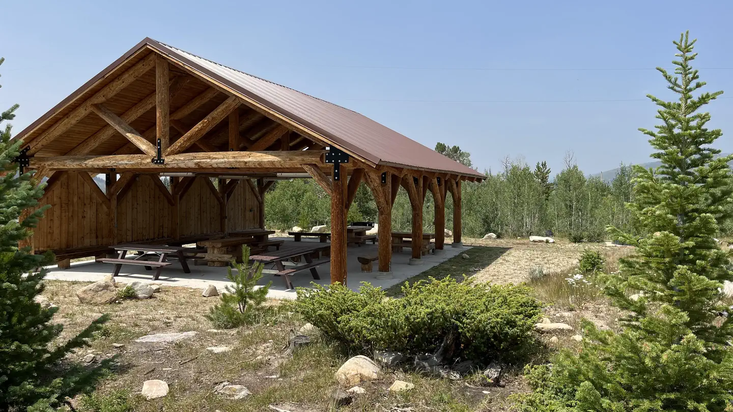
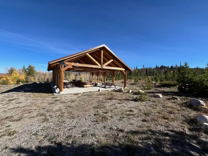
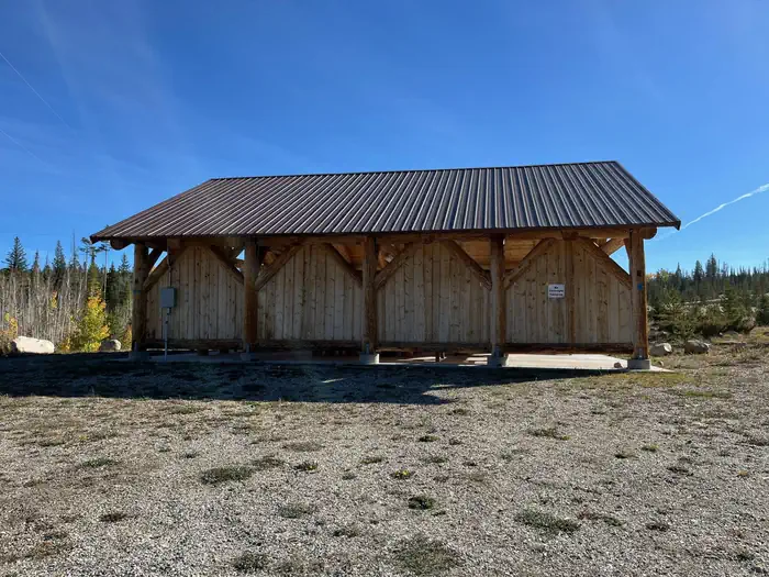
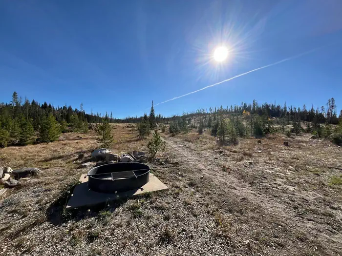
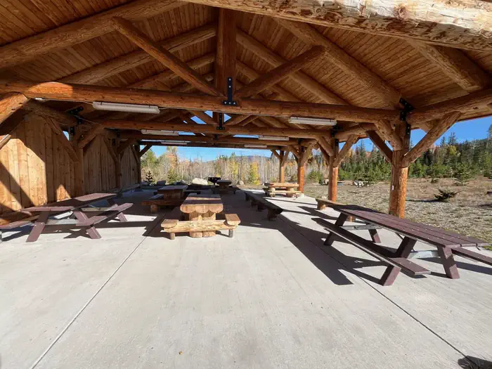
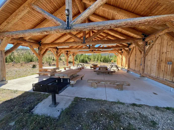
Facilities Located within walking distance to the Brush Creek Visitor's Center and the Brush Creek Hiking/Ski Trails, the Brush Creek Pavilion is an aproximately 32 feet by 40 feet structure with 6 picnic tables with additional space within the Pavilion for vistors to set up their own small portable tables and chairs. The maximum capacity at the Pavilion is 75 people. Adjacent to the Pavilion is one barbeque grill, and outside of the Pavilion is a fire ring. An accessible toilet is located approximately 300 feet away. Overnight use or camping is prohibited at the Pavilion. However, Ryan Park CG, South Brush Creek CG and Lincoln Park CG are located just minutes away. A bear resistant dumpster is located approximately 100 yards from the Pavilion. The Pavilion is surrounded by historic structures constructed by the Civil Conservation Corps in 1930's. Nearby Attractions Brush Creek Trails are located adjacent to the Pavilion. The historic Brush Creek Visitor Center was constructed by the Civil Conservation Corps in 1930 and is open June through September. Silver Lake, Lake Marie Falls, Mirror Lake, Medicine Bow Peak Trail, French Creek Canyon Trail and Miners Cabin Trail are located within 10 min drive west on the Snowy Range Scenic Byway.
From the managing agency.
Is Brush Creek Pavilion free?
We do not have a fee on record for Brush Creek Pavilion. Confirm the cost locally before you go.
How do I get to Brush Creek Pavilion?
Brush Creek Pavilion is at 41.3430, -106.5259. We do not hold written directions for this one, so navigate to the coordinates.
Nearby
SourceSource data is agency published. Last synced September 19, 2026. Community reports and photos are submitted by travelers and are not verified by the agency.
