
STUART RECREATION AREA
Campground · Fee not listed
Fast facts
- Cost
- Not listed. Check locally.
- Type
- Campground
- Phone
- 304-636-5070
- Coordinates
- 38.9175, -79.7711
- Last verified
- September 19, 2026
About this place
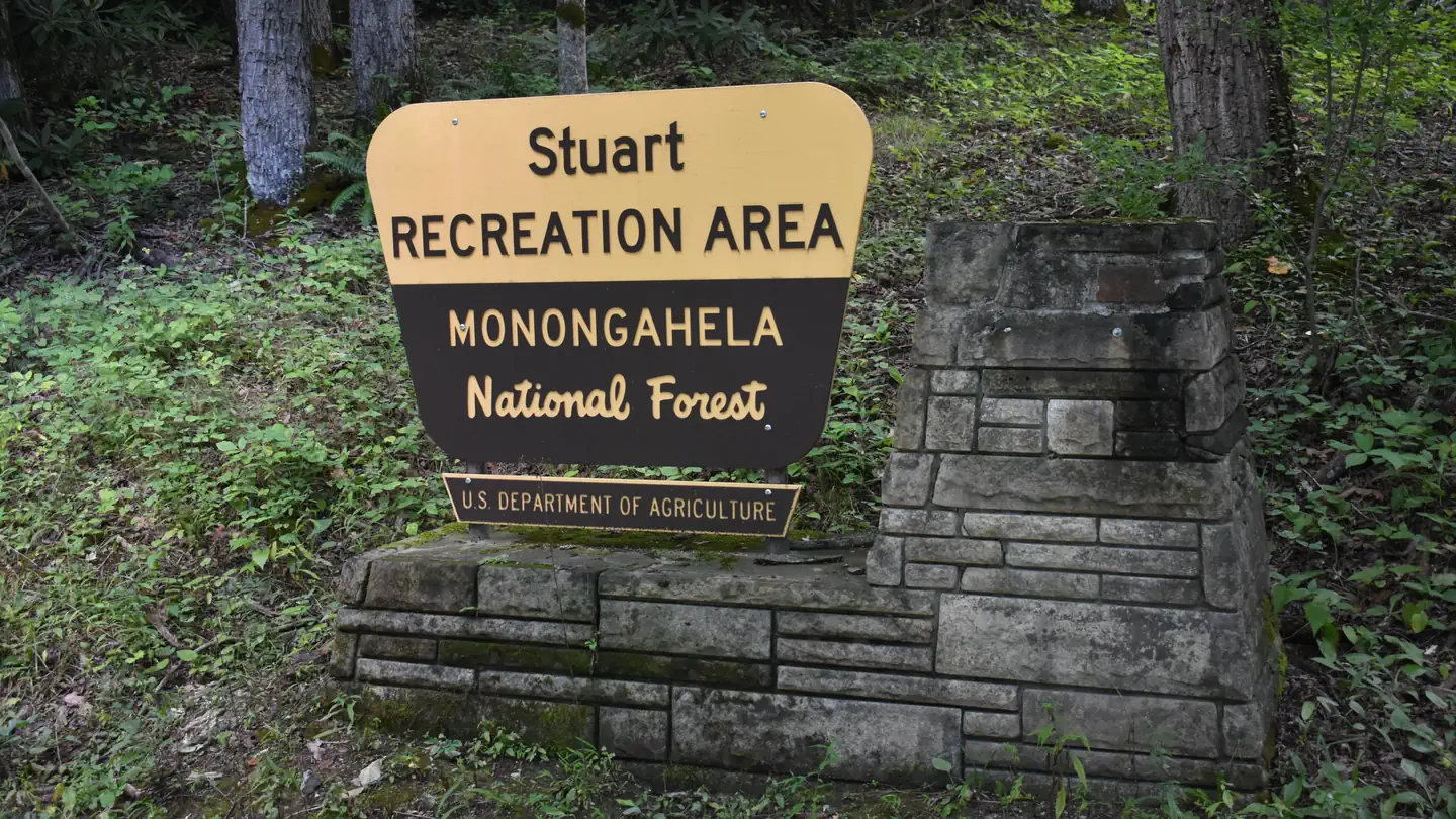
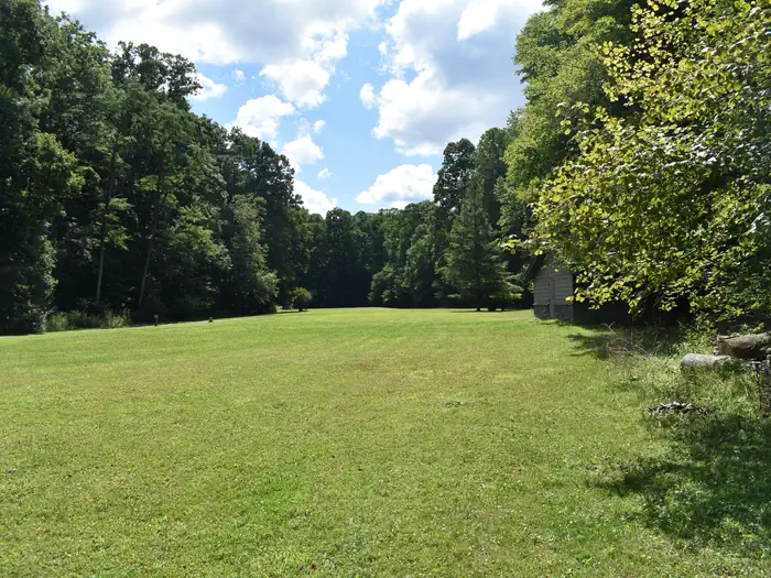
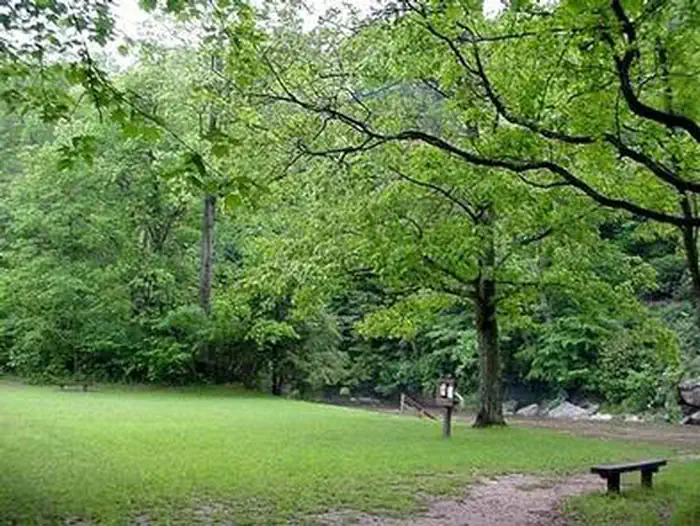
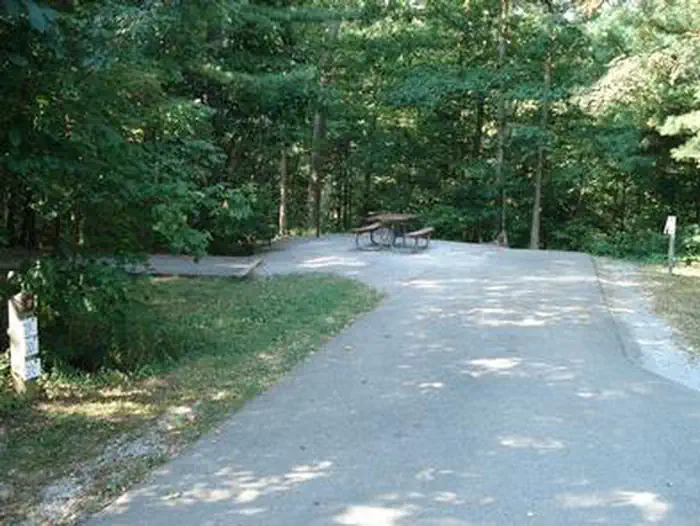
Overview The Stuart Campground and Recreation Area is set in a mixed forest along the banks of the Shavers Fork River. The river provides excellent fishing and is regularly stocked with trout. Hiking trails lead to outstanding overlooks, local caves and Blackwater Falls. It is comprised of one campground, one group campground and a day-use area. The campground has 26 (25 single, 1 double) camping units with electric hookups, fire rings, lantern posts, picnic tables and paved spurs. In addition, there is a developed host site equipped with electrical, water, and sewage hookups. Most of the campground sites and facilities within it are ABA accessible. The campground contains two single-unit vault toilets, one double-unit vault toilet, and one six-unit flush restroom with four shower units all of which are accessible. The group campground contains one reservable site that will accommodate up to 40 people. The group campground contains fire rings, picnic tables, lantern posts, and two single-unit vault toilets. There is no electric at the group campground. Drinking water may be obtained from Stuart Campground. The group campground is not accessible. The day-use area contains three reservable pavilions. The “Large” Pavilion has electricity and can accommodate 100 people. There are two non-electric pavilions: the “Small” Pavilion is non-electric and can accommodate 50 people; the “Alpena” Pavilion is non-electric and can accommodate 25 people. The day use area also contains 5 separate vehicle parking areas, with space for approximately 25-40 vehicles in each lot, a 14 acre field (approximately), multiple picnic tables, multiple pedestal grills, four restroom facilities with two toilets in each restroom (two changing rooms located at one of the restrooms), a river-beach area, easy stream access to Shavers Fork of Cheat River, and volleyball net. The restrooms, changing areas, parking areas, Large and Small Pavilions are accessible. The entire 14 acre field (approximately) must be mowed and trimmed. Holder will be responsible for all grounds maintenance of the site and facilities. New for the 2025 season the day-use area also contains a historic cabin that was previously managed under the local Forest Service district office for storage and administrative use. It was recently fully renovated and has been added to this prospectus for future use as a rental. The cabin contains a fully furnished kitchen (overhead cabinets, refrigerator, oven/range, sink, and countertops with drawers underneath), a single full-bathroom (with standing shower, toilet, and sink), a study room with two desks, a living room (with two couches, and end tables), a second living/dining space (with table, chairs and benches), and two furnished bedrooms (with two single beds, night stands, standing closets, and lamps in each room – 4 beds total). The cabin has electric heat, public water, and the sewer is tied into the on-site wastewater system. The cabin does not have air conditioning. Permit holder will be responsible for adding the cabin to the reservation system. Similar to all the other sites listed in this prospectus, the permit holder will be responsible for all daily upkeep of the cabin, check-in/check-out, as well as repair and replacement of consumables within the cabin. Due to the cabin being on the National Register of Historic Places, any proposed alterations/repairs to the cabin and the adjacent landscaping by the permit holder must be reviewed and approved by the Forest Supervisor in conjunction with consultation with the Forest Service Archaeologist and the State’s Historic Preservation Office (SHPO) prior to implementation. Applicants must consider the cost of cabin maintenance, upkeep, and cleaning as part of their business operations when calculating operating costs. Applicants must include a proposed nightly fee for the cabin within the fee structure portion of the application. There is one trash dumpster located at the Stuart Recreation Area and one trash dumpster located in the campground for garbage collection and disposal. There are individual trash bins located at each of the shelters and at the group campground. There is one recreation vehicle dump station in the recreation area located adjacent to the campground. The average operation and maintenance season for Stuart Recreation Area has been approximately from mid-April through October. At a minimum, the Forest Service (FS) will expect the permit Holder to fully operate the recreation area from the third Friday night in April through the Columbus Day weekend in October. Recreation Day Hiking - There is a hiking trail in the recreation area: River Loop Trail - #119 which is 2 miles in length. Mountain Biking - There is a hiking trail in the recreation area: River Loop Trail - #119 which is 2 miles in length. Picnicking - Stuart offers tables, grills, and waste receptacles for picnicking. There are three reservable pavilions - the large electric, small non-electric, and the Alpena - are available for family outings. Pavilion reservations may be made online or by calling (877)444-6777. Pavilion reservations must be made at least 5 days prior to your arrival or can be made 360 days in advance. Group Picnicking - Stuart offers tables, grills, and waste receptacles for picnicking. There are three reservable pavilions - the large electric, small non-electric, and the Alpena - are available for family outings. Pavilion reservations may be made online or by calling (877)444-6777. Pavilion reservations must be made at least 5 days prior to your arrival or can be made 360 days in advance. River and Stream Fishing - Catch and release fishing is allowed in the Shavers Fork River. A state fishing license, National Forest Stamp, a Conservation stamp, and trout stamp are required. Please contact the West Virginia Division of Natural Resources for more information on fishing and hunting licensing requirements. River Swimming - It's a lot of fun, and there are plenty of trout to tempt anglers of all skill levels. The 2-mile River Loop Hiking Trail is enjoyed by many visitors, and is a great way to watch for birds and wildlife. No lifeguard. Facilities The campground lies on a single loop with long spurs. Drinking water and accessible flush toilets and showers are provided, with a dump station is on-site. Each site comes with a campfire ring, tent pad, lantern post and electric hookups. The day-use area has three picnic pavilions with maintained fields and a beach on the riverfront. Natural Features The campground is perched along a bend on the Shavers Fork River. Shavers is a tributary of the Cheat River, a popular rafting river with rocky rapids. Stuart is in the Allegheny Mountains of West Virginia. The Monongahela Forest extends over the north central highlands of the state, straddling many of the region's highest peaks. Elevations here range from 1,000 to 4,863 feet above sea level. Contact Info For facility specific information, please call (304) 567-3082. Nearby Attractions The town of Elkins is a 14-minute drive from the campground. An annual Mountain State Forest Festival takes place here every October.
From the managing agency.
Is STUART RECREATION AREA free?
We do not have a fee on record for STUART RECREATION AREA. Confirm the cost locally before you go.
How do I get to STUART RECREATION AREA?
STUART RECREATION AREA is at 38.9175, -79.7711. We do not hold written directions for this one, so navigate to the coordinates.
Nearby
- Bear Heaven Campground5.0 mi
- Laurel Fork Campground12.9 mi
- MIDDLE MOUNTAIN CABINS15.8 mi
- GATEWOOD GROUP17.1 mi
- SPRUCE KNOB LAKE18.6 mi
- HORSESHOE RECREATION AREA20.3 mi
- SENECA SHADOWS21.7 mi
- Island Campground23.6 mi
No other services within 50 mi on the record.
SourceSource data is agency published. Last synced September 19, 2026. Community reports and photos are submitted by travelers and are not verified by the agency.
