
MCCLINTIC POINT
Campground · Fee not listed
Fast facts
- Cost
- Not listed. Check locally.
- Type
- Campground
- Phone
- 540-279-4144
- Coordinates
- 37.9836, -79.9669
- Last verified
- September 19, 2026
About this place
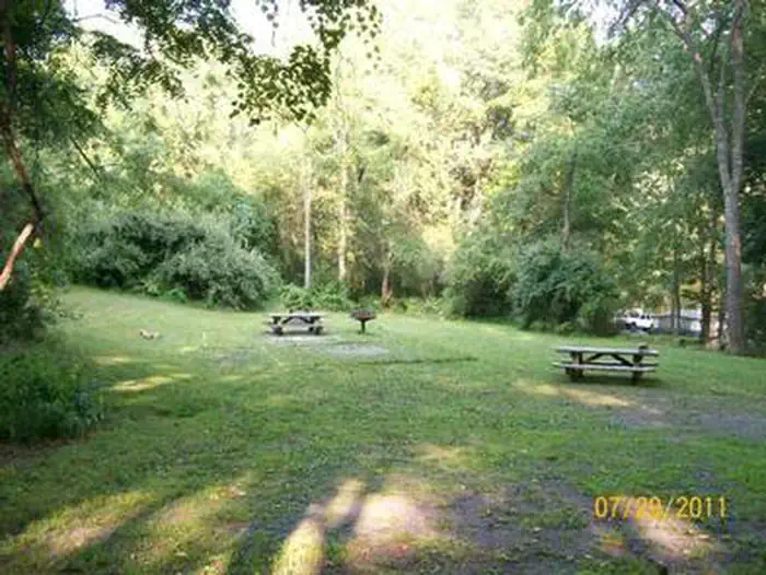
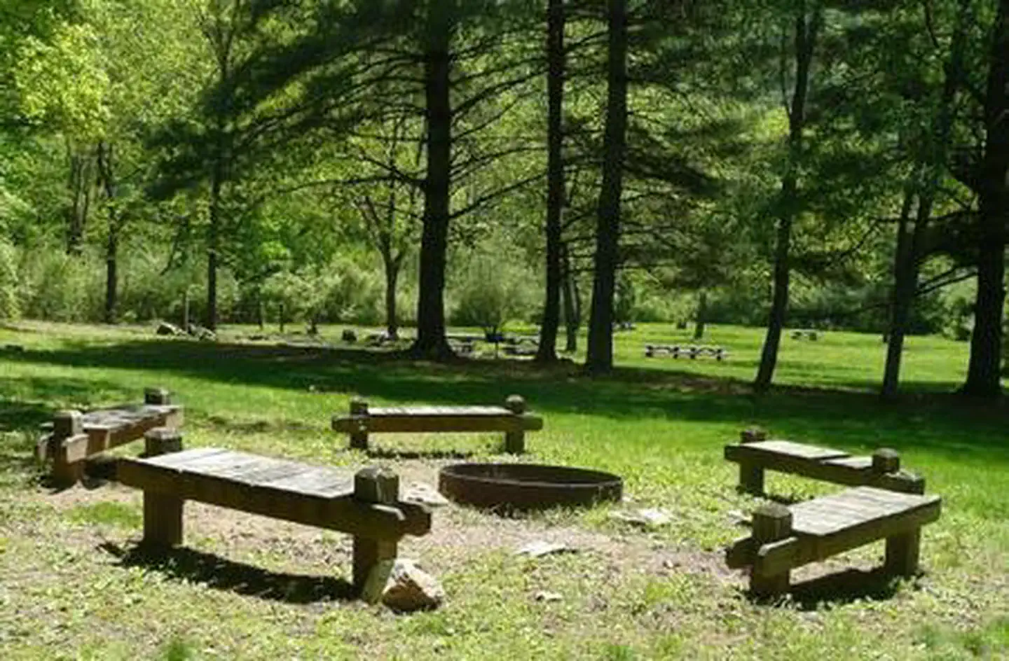
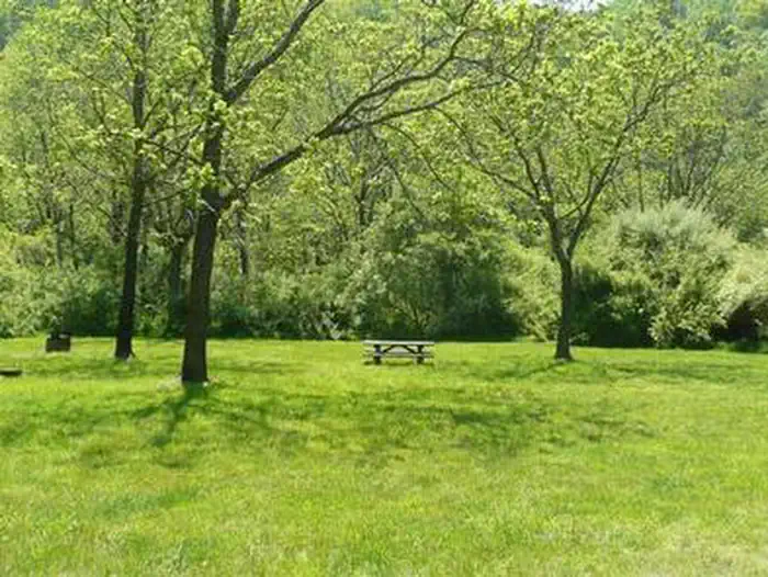
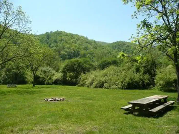
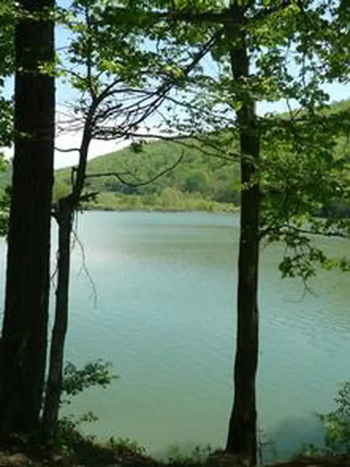
Overview Enjoy the easygoing, peaceful vibe of McClintic Point's rustic campground set among scattered trees and open fields. This angler's paradise provides plentiful shoreline fishing and some lakefront campsites. Recreation Boating, canoeing, water skiing and and fishing are popular activities on the lake. Brown and rainbow trout, bass and crappie are some of the popular species anglers catch. The campground's open spaces are also handy for running around of stretching out on the grass. Facilities Amenities include vault toilets and seasonal drinking water, which is available April through October. The three group campsites range in capacity from 20 to 35 guests. Natural Features The campground sits on the northern end of Lake Moomaw. The lake boasts 2,530 surface acres with 43.5 miles of shore line and a maximum depth of 150 feet. Nearby Attractions Head to the quaint town of Warm Springs for restaurants or to visit the Bath County Historical Society.
From the managing agency.
Is MCCLINTIC POINT free?
We do not have a fee on record for MCCLINTIC POINT. Confirm the cost locally before you go.
How do I get to MCCLINTIC POINT?
MCCLINTIC POINT is at 37.9836, -79.9669. We do not hold written directions for this one, so navigate to the coordinates.
Nearby
- BOLAR MOUNTAIN RECREATION AREA0.0 mi
- Bolar Mountain Campground0.1 mi
- Bolar Mountain Volunteer Village Campgro0.2 mi
- Greenwood Point Campground1.7 mi
- COLES POINT 2.3 mi
- Morris Hill Group Campground2.6 mi
- LAKE SHERWOOD2.9 mi
- Mcclintic Point Campground3.2 mi
No other services within 50 mi on the record.
SourceSource data is agency published. Last synced September 19, 2026. Community reports and photos are submitted by travelers and are not verified by the agency.
