
BOLAR MOUNTAIN RECREATION AREA
Campground · Dispersed · Fee
Fast facts
- Cost
- Fee charged
- Type
- Campground
- Phone
- 540-279-4144
- Coordinates
- 37.9836, -79.9669
- Last verified
- September 19, 2026
About this place
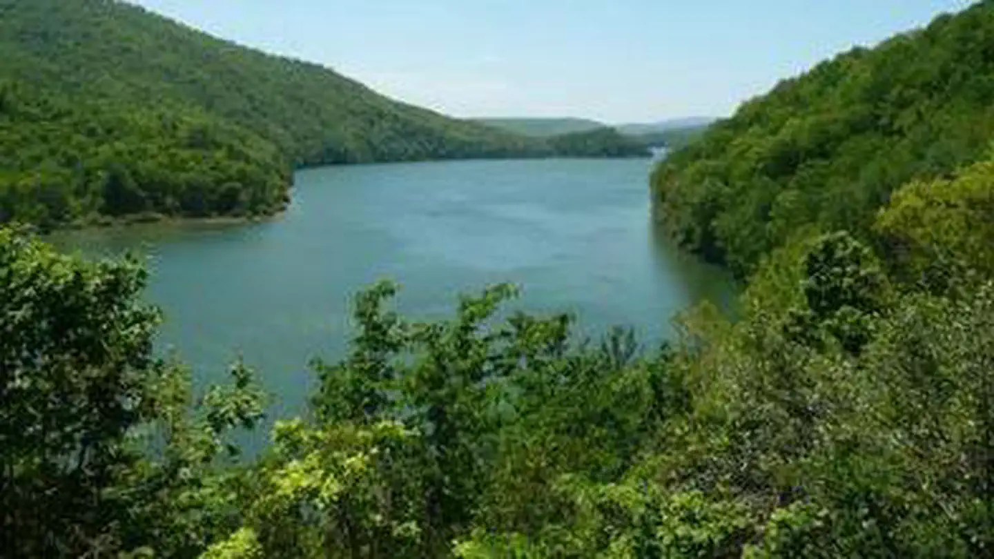
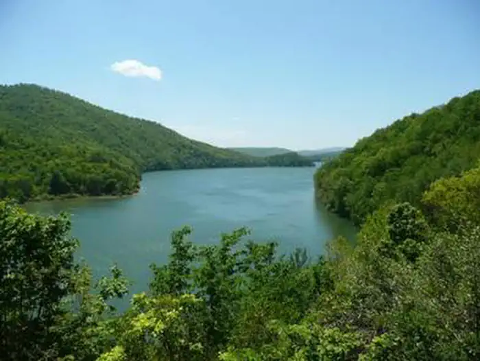
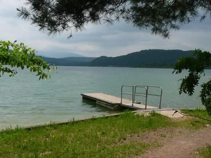
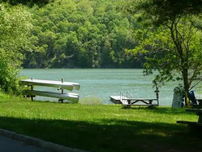
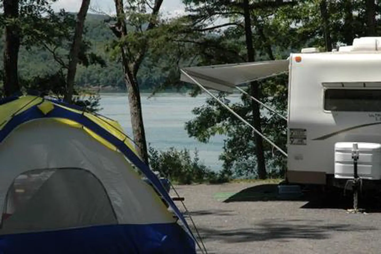
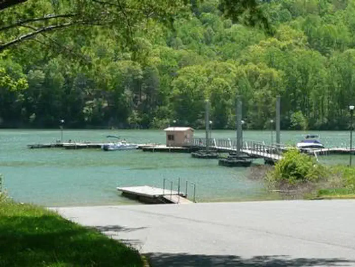
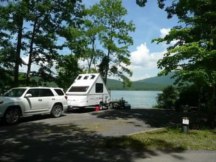
Overview Bolar Mountain Recreation Area is a great destination for visitors looking for a fun getaway on Lake Moomaw. The area provides plenty of outdoor activities, including boating, fishing, camping and hiking. There is little to no cell service, so be ready to disconnect! Recreation Boating, canoeing, water skiing and relaxing on the beach are popular activities at the lake. Anglers fish for brown and rainbow trout, bass and crappie. A boat ramp is located at the Bolar Flat Marina, which has a modern dock with boat slips. Bolar Mountain boasts 11 miles of hiking trails that lead to two impressive scenic overlooks: Islands Overlook Spur and Grouse Point Overlook. Looking for a more primitive experience? Hike or boat to Greenwood Point for dispersed camp sites. Facilities We have four campgrounds here at Bolar Mountain Recreation area; Sugar Ridge, Campground 1, Campground 2 & Campground 3 respectively. Each campground has "Prime" sites which have a view and/or direct access to the lake, those seeking electric sites will find most of their options at Campground 1 followed by 2 & 3. Potable water taps can be found throughout each camp along with flush toilets and showers. Individual camp sites have a picnic table, lantern post, a fire ring and a Camp Host to answer any questions/concerns you may encounter. Campers can empty their waste tanks at one of the two dump stations at Campground 1 or Campground 2. Natural Features The campground sits on the northern end of Lake Moomaw, a manmade lake covering 2,530 acres along the Jackson River. The lake is held by Gathright Dam, constructed in the 1980's by the Army Corps of Engineers for flood control. The lake's average depth is 80 feet and it has 43 miles of wooded shoreline making it the second largest impoudment in western virginia. Bolar Mountain is part of the George Washington and Jefferson National Forest which span 1.8 million acres across Virginia and parts of West Virginia and Kentucky. The forest protects 40 tree species within mostly Appalachian hardwood and mixed pine-hardwood forests, 60 species of mammals and 200 species of birds. Nearby Attractions Hidden Valley is a short drive from the lake and has ample opportunities for outdoor enthusiast: Hike or ride your horse along the Jackson River, all the way to Poor Farm, cast a line for trout, and stay at the Hidden Valley Campground or even better the historic bed and breakfast. Warm Springs has restaurants, shopping and a Historical Society for Bath County in addition to other typical amenities.
From the managing agency.
Is BOLAR MOUNTAIN RECREATION AREA free?
No. BOLAR MOUNTAIN RECREATION AREA charges a fee.
How do I get to BOLAR MOUNTAIN RECREATION AREA?
BOLAR MOUNTAIN RECREATION AREA is at 37.9836, -79.9669. We do not hold written directions for this one, so navigate to the coordinates.
Nearby
- MCCLINTIC POINT0.0 mi
- Bolar Mountain Campground0.1 mi
- Bolar Mountain Volunteer Village Campgro0.2 mi
- Greenwood Point Campground1.7 mi
- COLES POINT 2.3 mi
- Morris Hill Group Campground2.6 mi
- LAKE SHERWOOD2.9 mi
- Mcclintic Point Campground3.2 mi
No other services within 50 mi on the record.
SourceSource data is agency published. Last synced September 19, 2026. Community reports and photos are submitted by travelers and are not verified by the agency.
