
DAY LAKE
USFS · Campground · Fee
Fast facts
- Cost
- Fee charged
- Managed by
- USFS
- Type
- Campground
- Reservations
- recreation.gov
- Phone
- (715) 634-4821 OR (715) 264-2511
- Coordinates
- 46.1764, -90.9092
- Last verified
- September 19, 2026

About this place
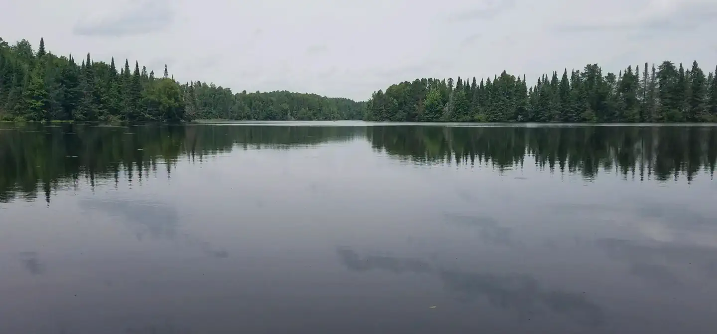
Overview Day Lake Campground is situated in northwestern Wisconsin, not far from the shores of Lake Superior. The spacious and peaceful Day Lake offers a family-friendly campground with swimming beaches, a boat launch and picnic area. Day Lake is a designated off-road vehicle campground, allowing off-road vehicle use to and from the nearby trails. Recreation Located in the elk capital of Wisconsin, the Day Lake area has activities for everyone. Miles of off-road vehicle, hiking and mountain biking trails are nearby on the Dead Horse Run Off-road Vehicle (ATV/UTV) Trail. A half-mile interpretive trail can be accessed from the campground. A boat ramp and picnic area with beach access are located two miles south of the campground, on County Highway M. The 640-acre lake is a popular destination for anglers, with musky, bass and panfish available in abundance. The area is also ideal for kayaking, canoeing and swimming. Elk, eagles, loons and other wildlife are often spotted in the area. Facilities The campground offers dozens of single-family campsites for tent and RV camping. Only the Paper Birch loop has a paved road, while the remainder of roads within the campground are gravel. The parking aprons are grass and dirt. Each campsite is equipped with tables and campfire rings with grills. Accessible vault toilets and hand pump drinking water are also provided. Trash collection and recycling bins are available at the campground as well. Natural Features The Chequamegon-Nicolet National Forest offers 845,000 acres of lush landscape dotted with lakes, rivers and streams. Pine, spruce, maple, aspen and balsam forests, as well as extensive jack pine plantations, make up the vegetation. Nearby Attractions A general store, bait shop, firewood vendor, fuel and restaurants are located in Clam Lake, about a mile from the campground. The local community club hosts an annual July 4th fireworks display.
From the USFS.Official page
Is DAY LAKE free?
No. DAY LAKE charges a fee. It is managed by the USFS. Sites are reservable through recreation.gov.
How do I get to DAY LAKE?
DAY LAKE is at 46.1764, -90.9092. We do not hold written directions for this one, so navigate to the coordinates.
Nearby
- EAST TWIN2.6 mi
- Beaver Lake8.7 mi
- Beaver Lake (Chequamegon-Nicolet NF, WI)8.7 mi
- MINERAL LAKE8.8 mi
- Namekagon Cg9.6 mi
- LAKE THREE10.1 mi
- NAMEKAGON12.0 mi
- MOOSE LAKE12.3 mi
No other services within 50 mi on the record.
SourceData from the USFS. Last synced September 19, 2026. Community reports and photos are submitted by travelers and are not verified by the agency.
