
Namekagon District
Campground · Fee
Fast facts
- Cost
- $0.00
- Type
- Campground
- Sites
- 67 total · 0 reservable · 67 first come
- Phone
- (715) 483-2274
- Coordinates
- 45.9053, -91.8160
- Last verified
- September 19, 2026
About this place
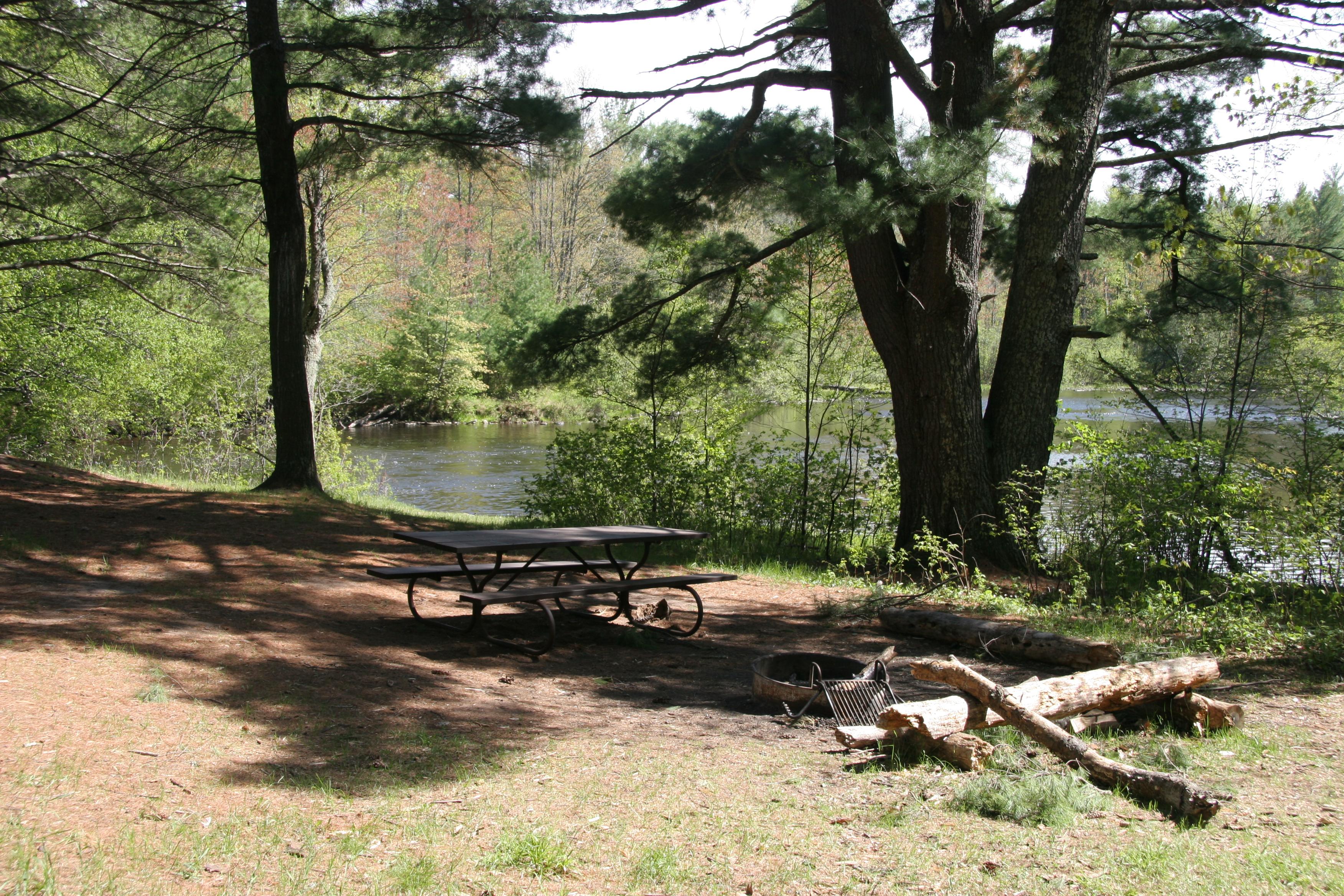
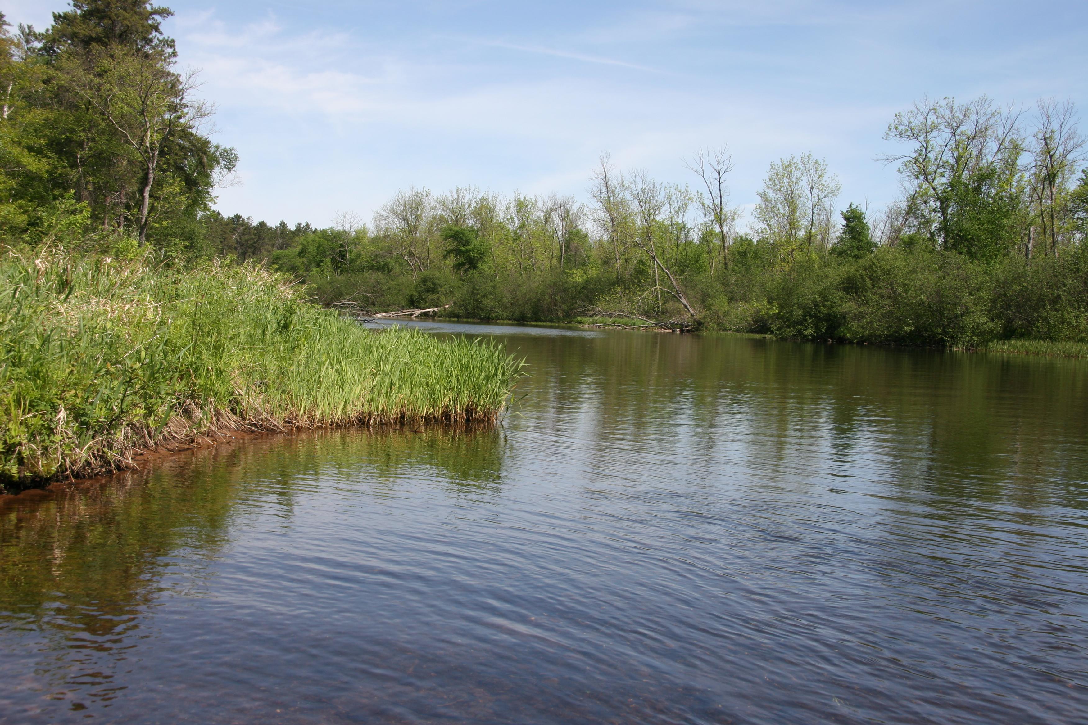
67, primitive, Leave No Trace camp sites are located on the Namekagon River from Namekagon Dam to the confluence of the St Croix River and on the St. Croix River from Gordon Dam to Riverside Landing. All sites are free. No permit required. Camp only in designated sites marked with brown camping sign and metal fire ring. Sites are available first-come, first-served.
From the managing agency.
Is Namekagon District free?
No. Namekagon District charges $0.00.
Can I bring an RV to Namekagon District?
Namekagon District has 67 sites on record. 0 sites are reservable and 67 are first come.
How do I get to Namekagon District?
Campsite locations are along the 100-mile reach of the riverway from Namekagon Dam to the confluence. Each campsite is identified by a square brown sign with a tent symbol at the river's edge and located near the take-out or beach area of that site.
What is the weather like at Namekagon District?
Access to the Riverway is year-round. Early spring temperatures can reach into the 40's resulting in high, fast, and cold water from melting snow and ice. Summers are warm and humid. Severe weather can be experienced anytime from mid-spring through late summer. Fall colors begin in late September with high temperatures averaging in the 60's. Winter can set in early with high temperatures in the teens, lows falling below zero, and occasional heavy snow. The rivers can begin to freeze over by early December.
What are the rules at Namekagon District?
Camp only at designated sites marked with brown camping signs and metal fire rings. Primitive toilets are located near the campsite--bring toilet paper. There are picnic tables at most sites. Drinking water is not available. There is a three-night limit of stay. All campsites must be occupied on the first night of stay and equipment left unattended for 24 hours will be considered abandoned. Individual sites accommodate a maximum of 8 people and 3 tents. Group campsites accommodate a maximum of 10 people and 6 tents.* Quiet hours are from 10:00 pm to 6:00 am daily.
Nearby
- MOOSE LAKE39.1 mi
- TWO LAKES40.1 mi
- Two Lakes40.5 mi
- Namekagon Cg42.2 mi
- BLACK LAKE42.8 mi
- Perch Lake Recreation Area43.3 mi
- Middle St. Croix47.5 mi
- DAY LAKE47.5 mi
No other services within 50 mi on the record.
SourceSource data is agency published. Last synced September 19, 2026. Community reports and photos are submitted by travelers and are not verified by the agency.
