
SPILLWAY PARK - CHINOOK SHELTER (OR)
Campground · Fee not listed
Fast facts
- Cost
- Not listed. Check locally.
- Type
- Campground
- Phone
- 541-922-2268
- Nearest dump station
- Bull Prairie Campground · 68.2 mi
- Coordinates
- 45.9328, -119.3030
- Last verified
- September 19, 2026
About this place
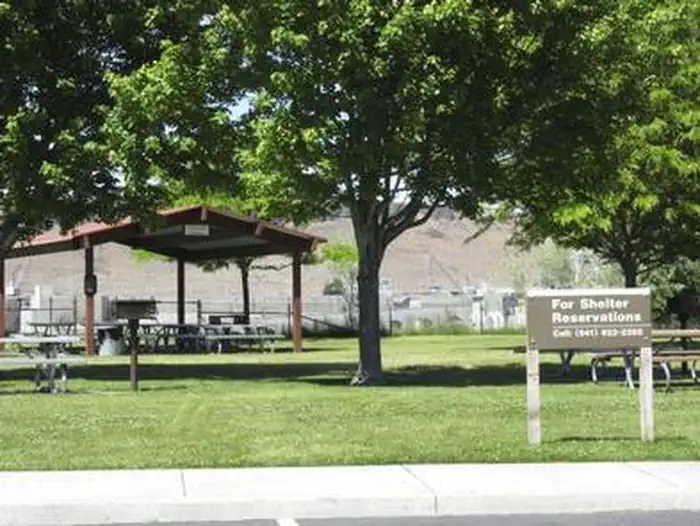
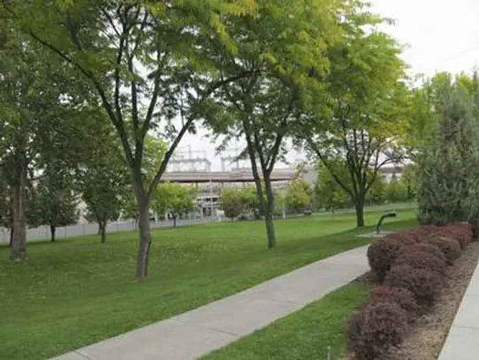
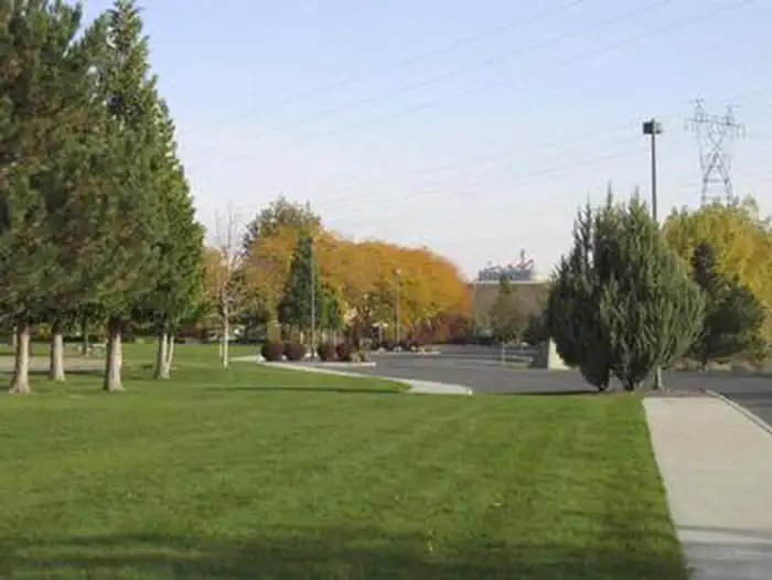
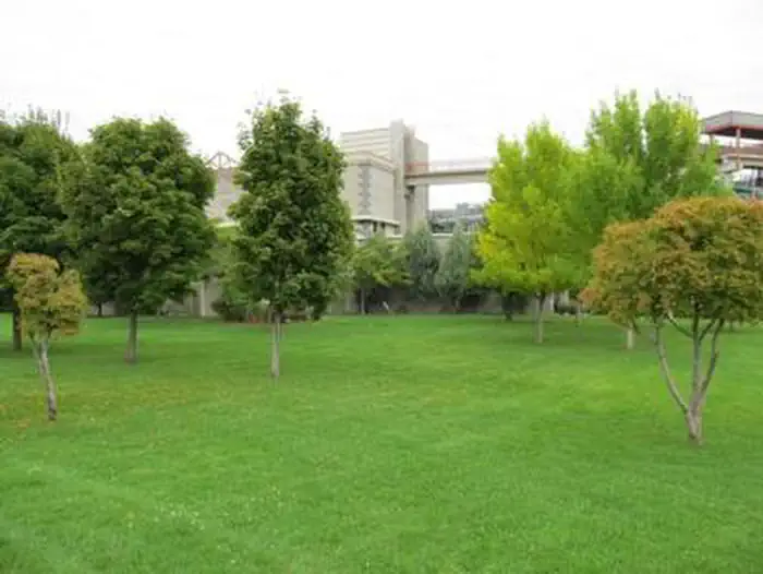
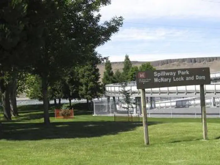
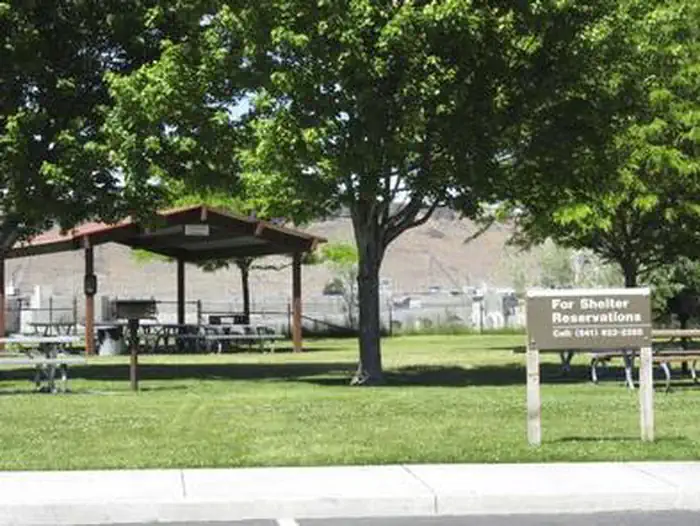
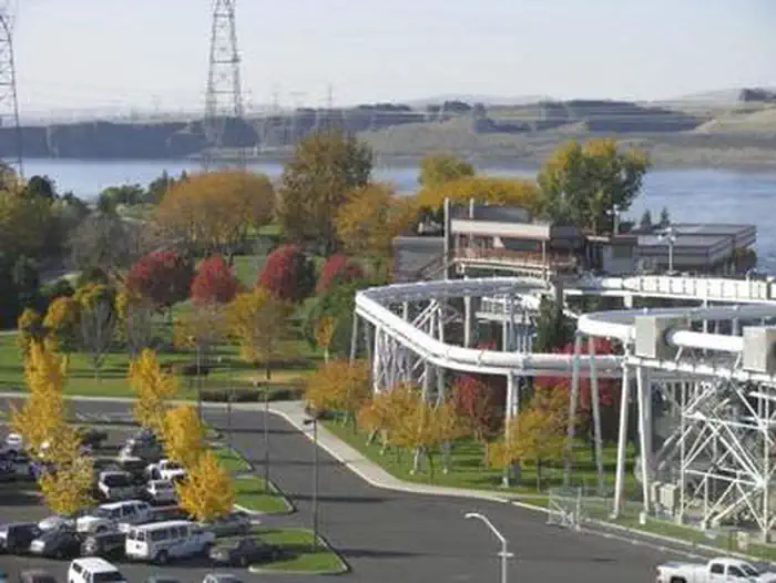
Overview Spillway Park is located on Lake Umatilla just downstream of McNary Lock and Dam in eastern Oregon on the Mid-Columbia River. Recreation The park provides two overlooks to watch McNary Dam, a volleyball court and access to the McNary Dam Wildlife Area trail system. Facilities Spillway Park offers one day-use group shelter with eight tables and two fire grills. Natural Features The park is situated along the bank of the Columbia River. Day users can enjoy the relaxing shade as they get a beautiful look at McNary Dam. Nearby Attractions The Pacific Salmon Visitor Center, Oregon Fish Viewing Room and the McNary Dam Wildlife Area with its beautiful natural trails are all in close proximity to Spillway Park.
From the managing agency.
Is this site free?
We do not have a fee on record for this site. Confirm the cost locally before you go.
How do I get to this site?
this site is at 45.9328, -119.3030. We do not hold written directions for this one, so navigate to the coordinates.
Nearby
SourceSource data is agency published. Last synced September 19, 2026. Community reports and photos are submitted by travelers and are not verified by the agency.
