
HOOD PARK
Campground · Fee not listed
Fast facts
- Cost
- Not listed. Check locally.
- Type
- Campground
- Phone
- 509-547-2048
- Nearest dump station
- Bull Prairie Campground · 91.0 mi
- Coordinates
- 46.2137, -119.0130
- Last verified
- September 19, 2026

About this place
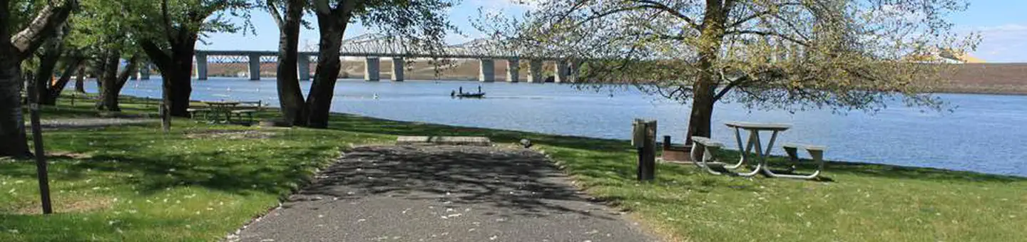
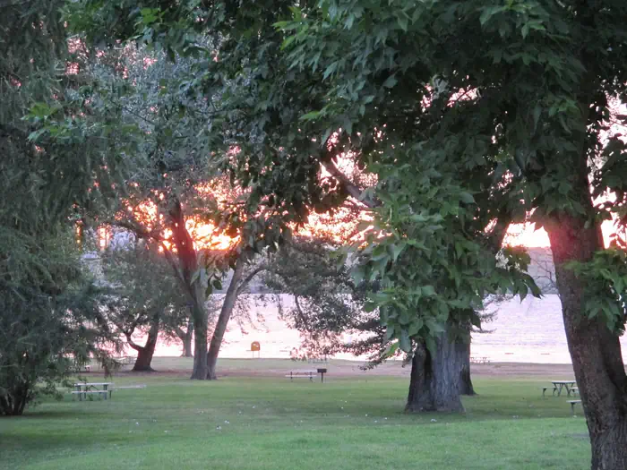
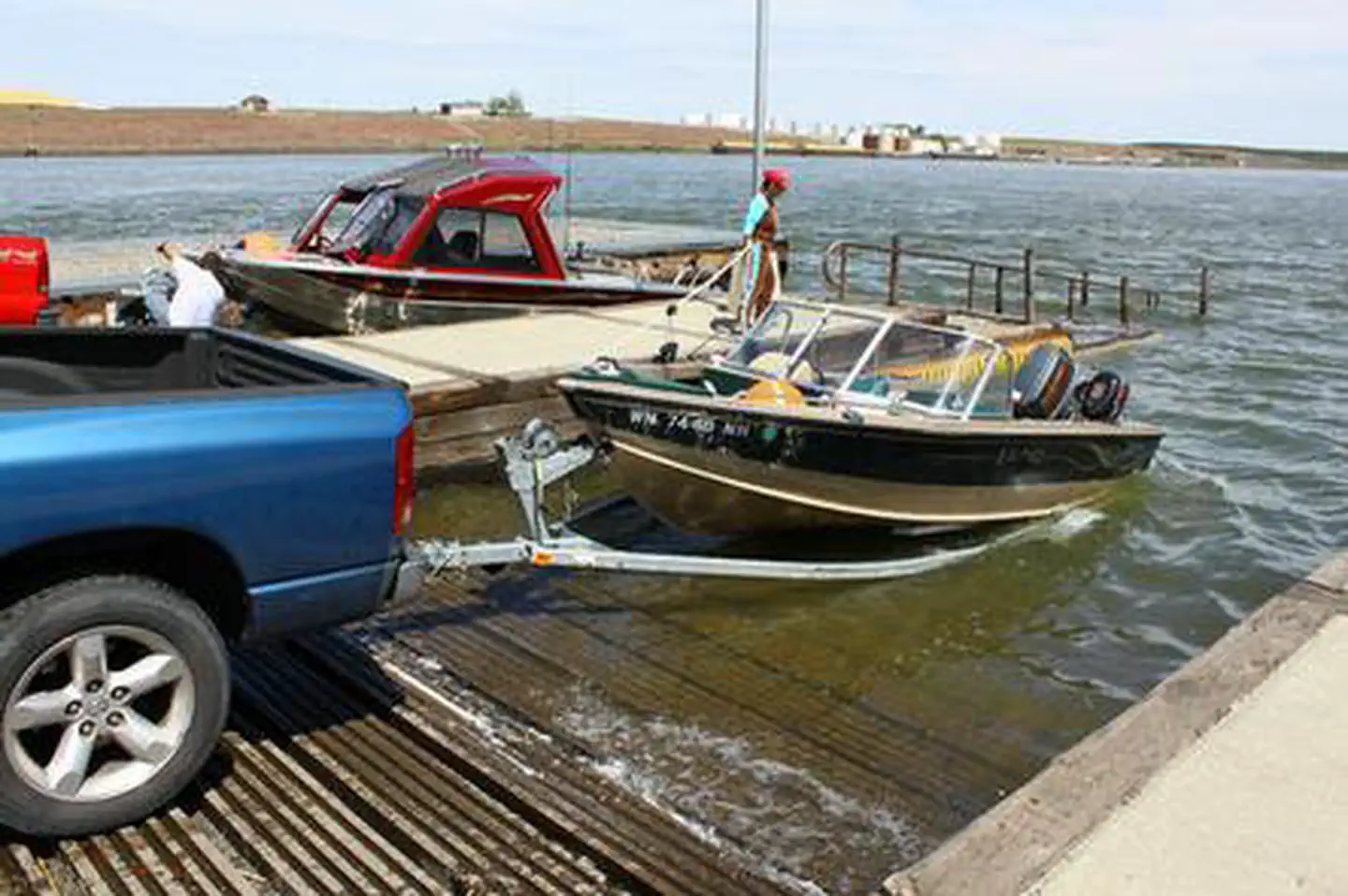
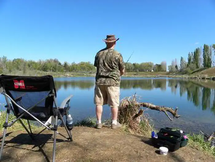
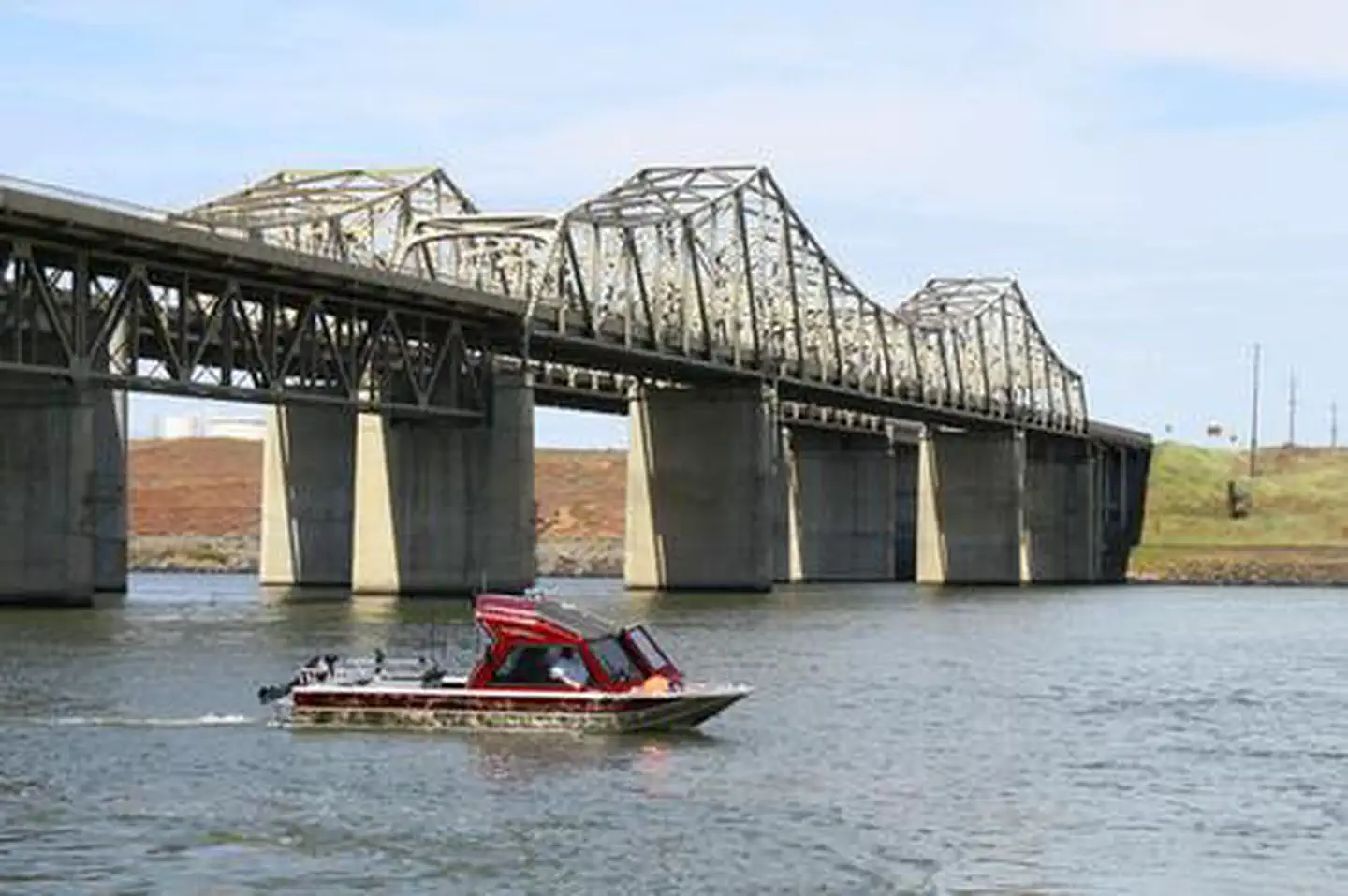
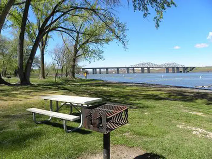
Overview Hood Park is located on Lake Wallula in eastern Washington. The lake is formed by McNary Lock and Dam on the Mid-Columbia River. Lewis and Clark camped two miles downstream at the confluence of the Snake and Columbia Rivers, which is now the location of Sacajawea State Park. Visitors enjoy camping, fishing, boating, hiking, picnicking and swimming. Recreation The lake provides great boating and swimming opportunities, and a boat ramp is provided for guests. Fishing is also a popular pastime, and anglers will find excellent salmon and steelhead fishing on the lake. Facilities Hood Park offers 67 family sites and one day-use group picnic shelter, all with electric hookups. Natural Features The campground is situated along the banks of the lake, offering sweeping views. Campers enjoy relaxing in the shade of the mature trees throughout the park. Contact Info For local information, please call (509) 547-2048 or call (877) 444-6777 for general information. Nearby Attractions The McNary National Wildlife Refuge is adjacent to the park. It provides habitat for migrating waterfowl, bald eagles, shorebirds and other wildlife. Nature trails and an environmental learning center are open to the public.
From the managing agency.
Is HOOD PARK free?
We do not have a fee on record for HOOD PARK. Confirm the cost locally before you go.
Can I bring an RV to HOOD PARK?
Yes. HOOD PARK is set up for RVs.
How do I get to HOOD PARK?
HOOD PARK is at 46.2137, -119.0130. We do not hold written directions for this one, so navigate to the coordinates.
Nearby
SourceSource data is agency published. Last synced September 19, 2026. Community reports and photos are submitted by travelers and are not verified by the agency.
