
PRIEST RIVER
Campground · Fee not listed
Fast facts
- Cost
- Not listed. Check locally.
- Type
- Campground
- Phone
- 208-437-3133
- Coordinates
- 48.1792, -116.8922
- Last verified
- September 19, 2026
About this place
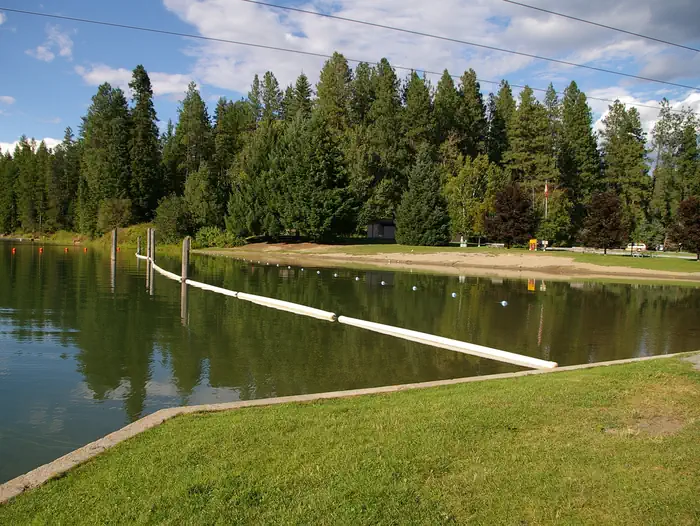
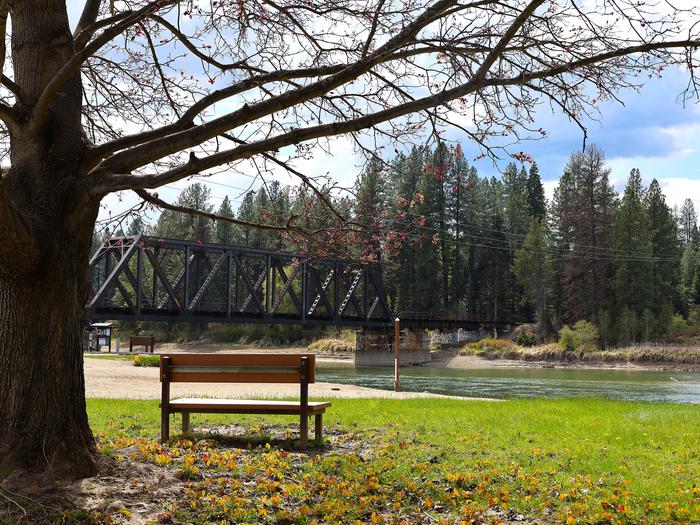
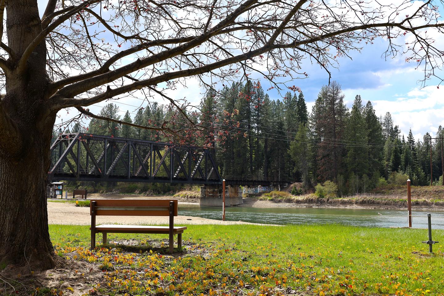
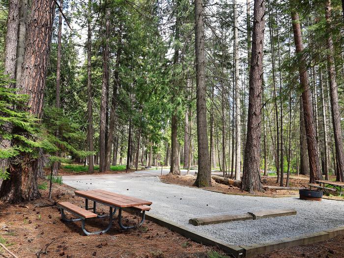
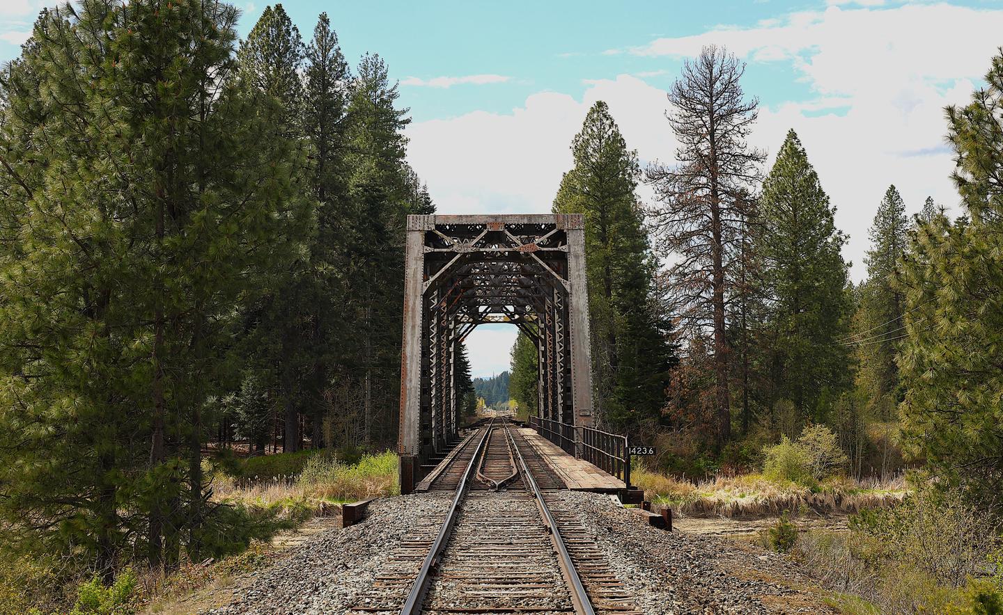
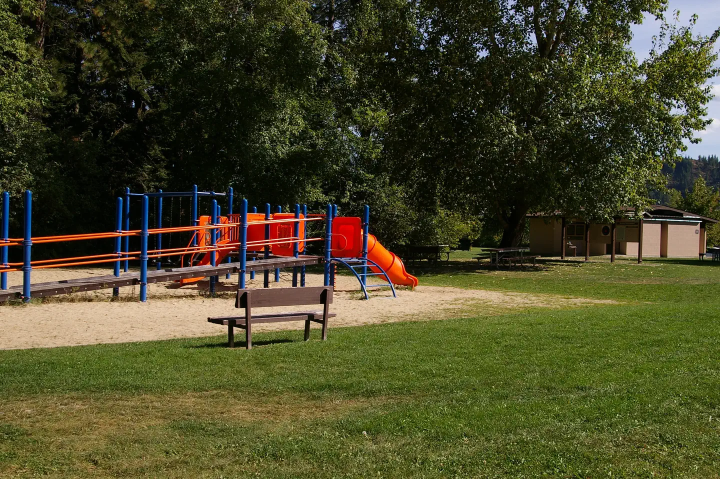
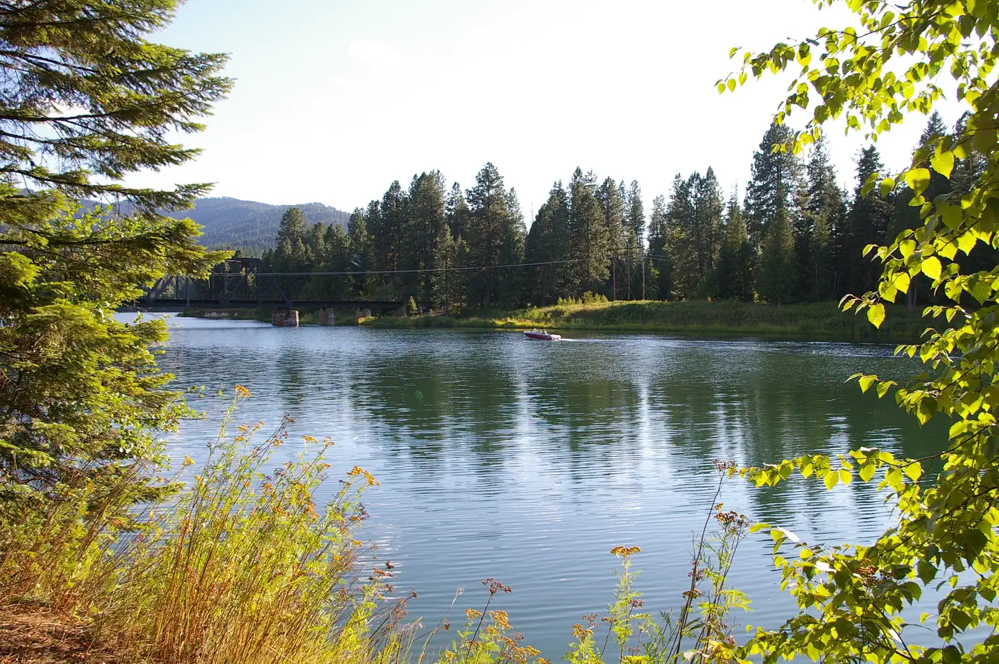
Overview Priest River Campground is situated on the banks of Priest River, shaded by firs, cedars and pines, just upstream from the confluence of the Pend Oreille River. Recreation Water activities are popular at the campground including kayaking, fishing and swimming. The day-use area includes a picnic shelter, playground, softball field, swim beach, boat ramp and a large grassy area for family fun . Adjacent to the campground is the Priest River Wildlife area, offering excellent fishing as well as birding. Wildlife in the area includes bald eagles, osprey, a wide variety of birds, and deer. Facilities Priest River Campground offers 20 campsites with amenities such as flush toilets and hot showers. Natural Features Albeni Falls Dam was built in 1955 for flood control and power production on the Pend Oreille River. Today, the popular lake has the added benefit of providing visitors with countless year-round recreational activities. Lake Pend Oreille is surrounded by scenic mountains and is one of the largest and deepest natural lakes in the western United States, plunging to depths of more than 1,200 ft. in some areas. Behind the dam, the Pend Oreille River stretches 65 miles through a glacial-carved valley that separates three mountain ranges. Nearby Attractions The Albeni Falls Visitor Center features exhibits on the history of the dam and the natural features of the area. Tours of the dam are given saturdays during the summer. The nearby town of Priest River, Idaho, offers gas and grocery services.
From the managing agency.
Is PRIEST RIVER free?
We do not have a fee on record for PRIEST RIVER. Confirm the cost locally before you go.
How do I get to PRIEST RIVER?
PRIEST RIVER is at 48.1792, -116.8922. We do not hold written directions for this one, so navigate to the coordinates.
Nearby
- ALBENI COVE5.0 mi
- RILEY CREEK5.8 mi
- PIONEER PARK7.8 mi
- Pioneer Park Campground7.9 mi
- No Name Lake Campground13.8 mi
- SPRINGY POINT14.8 mi
- Mystic Lake Campground15.5 mi
- Cooks Lake Campground17.1 mi
No other services within 50 mi on the record.
SourceSource data is agency published. Last synced September 19, 2026. Community reports and photos are submitted by travelers and are not verified by the agency.
