
SPRINGY POINT
Campground · Fee not listed
Fast facts
- Cost
- Not listed. Check locally.
- Type
- Campground
- Phone
- 208-437-3133
- Coordinates
- 48.2375, -116.5833
- Last verified
- September 19, 2026

About this place
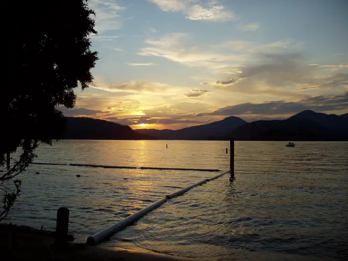
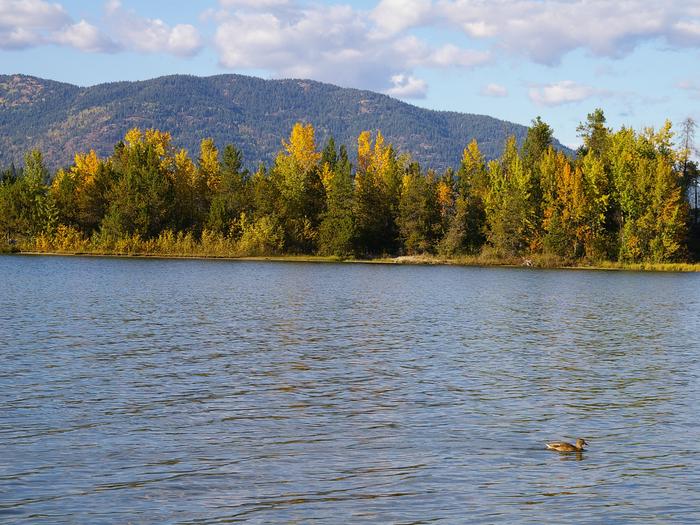
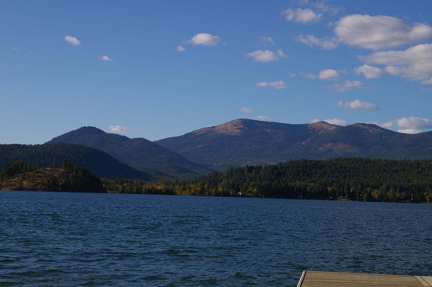
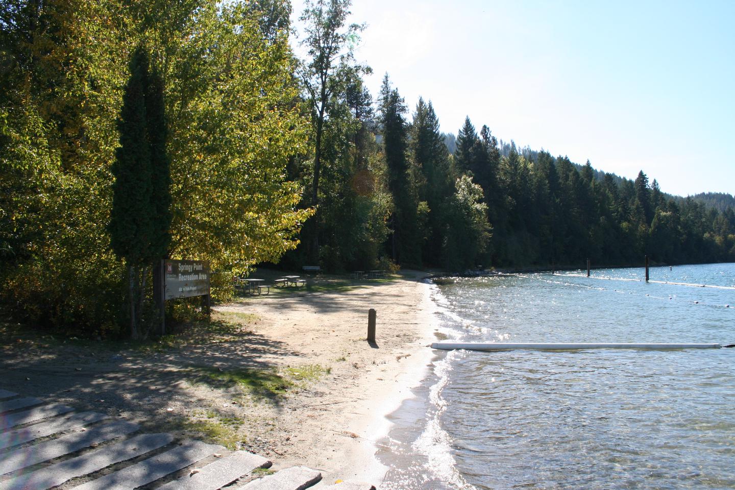
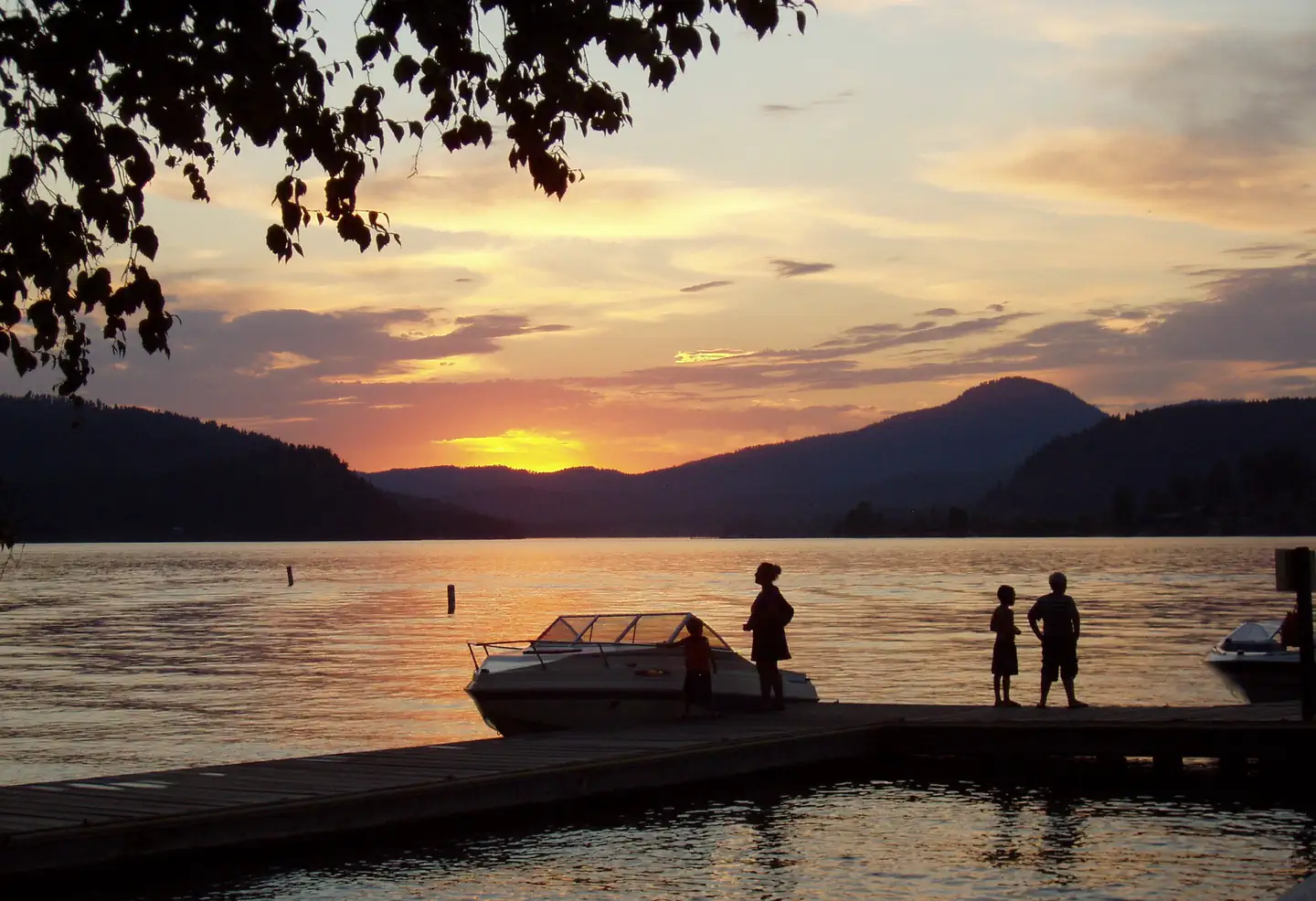
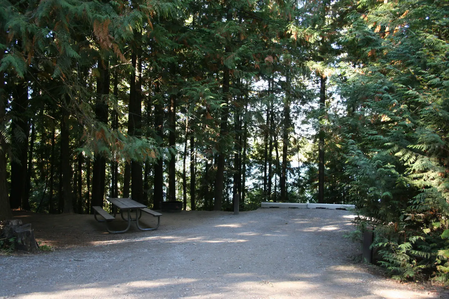
Overview Springy Point Campground is situated amid firs, cedars and pines overlooking the Pend Oreille River with views of the Cabinet and Selkirk Mountains. The city of Sandpoint is just a short trip across the water and offers a marina, parks, shopping and plenty of sightseeing opportunities. Recreation Water sports are the most popular activity at Springy Point, and with a boat ramp located on-site, kayaking, canoeing, water skiing, jet skiing and fishing are never far out of reach. A large swimming area provides visitors with comfortable access to the river's clear, clean waters. Visitors may also enjoy biking or hiking across the Long Bridge into the town of Sandpoint for a change of scenery or stroll around town. For the bird watchers or moose watchers, a short trip up to the Pack River Area to watch wildlife provides a great day trip. Facilities Springy Point Campground offers 38 shady campsites near the water. 36 are standard non-electric, with two walk-to sites. Amenities include drinking water, flush toilets and showers. A small picnic shelter is located off of the beach may be reserved through the recreation.gov website. Natural Features Lake Pend Oreille is a glacier-carved lake surrounded by scenic mountains in the northern Idaho Panhandle. It is one of the largest and deepest natural lakes in the western United States with depths plunging more than 1,200 ft., in some areas. The area around the Lake is the traditional home of the Kalispell Indians. French settlers named the area "Pend Oreille," which means "ear pendant," after observing the large shell earrings worn by the Kalispell people. Nearby Attractions The Albeni Falls Visitor Center features exhibits on the history of the dam and the natural features of the area, with tours of the dam given Saturdays during the summer.
From the managing agency.
Is SPRINGY POINT free?
We do not have a fee on record for SPRINGY POINT. Confirm the cost locally before you go.
How do I get to SPRINGY POINT?
SPRINGY POINT is at 48.2375, -116.5833. We do not hold written directions for this one, so navigate to the coordinates.
Nearby
- Green Bay Campground9.1 mi
- RILEY CREEK10.1 mi
- Maiden Rock Campground10.1 mi
- Sam Owen Campground13.9 mi
- SAM OWEN13.9 mi
- Whiskey Rock Bay Campground14.2 mi
- PRIEST RIVER14.8 mi
- ALBENI COVE19.6 mi
No other services within 50 mi on the record.
SourceSource data is agency published. Last synced September 19, 2026. Community reports and photos are submitted by travelers and are not verified by the agency.
