
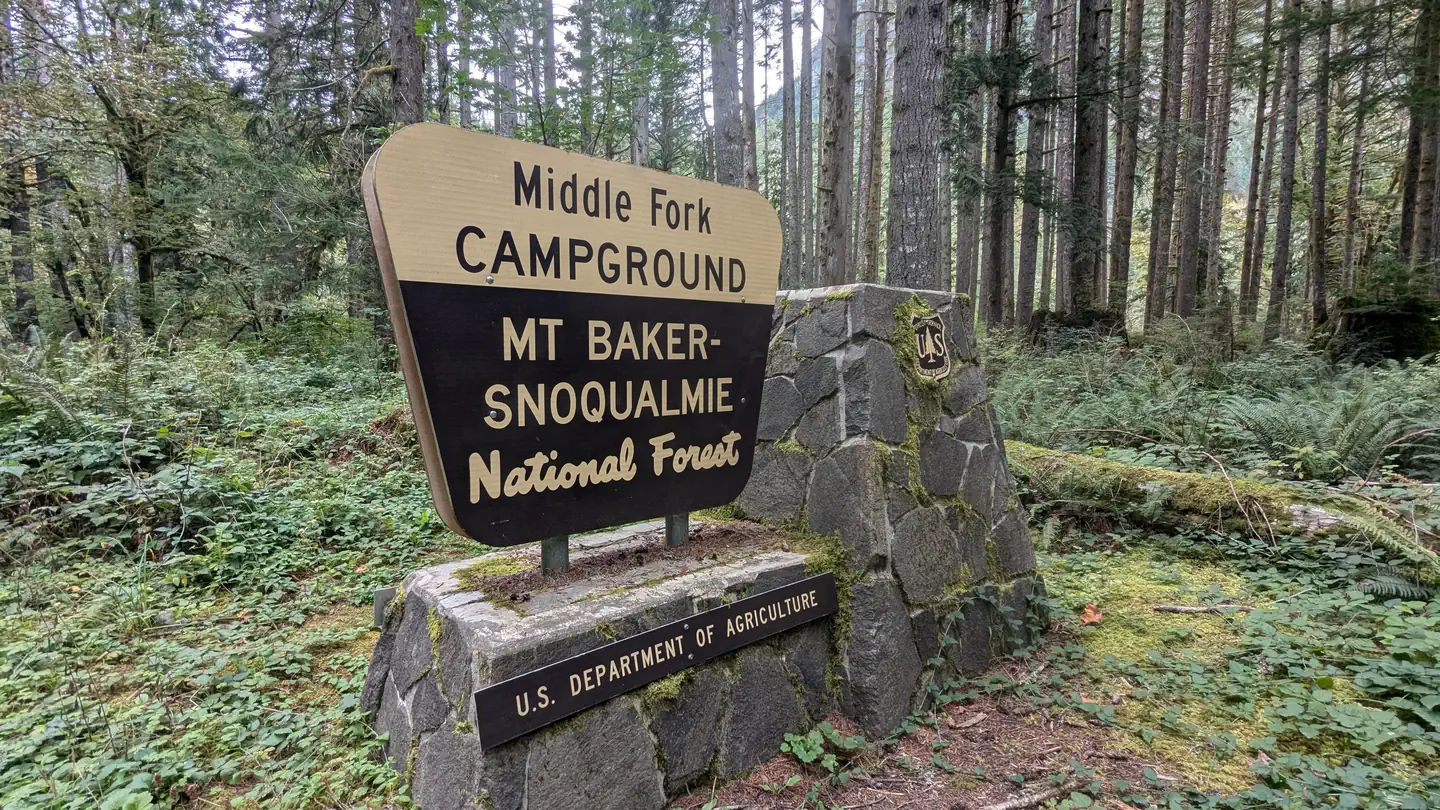
Middle Fork Campground
Campground · Fee not listed
Fast facts
- Cost
- Not listed. Check locally.
- Type
- Campground
- Phone
- 360-804-1103
- Nearest dump station
- Bumping Lake Dump Station · 49.2 mi
- Coordinates
- 47.5486, -121.5417
- Last verified
- September 19, 2026
About this place
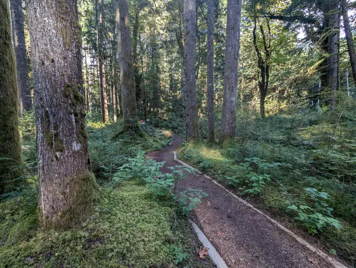
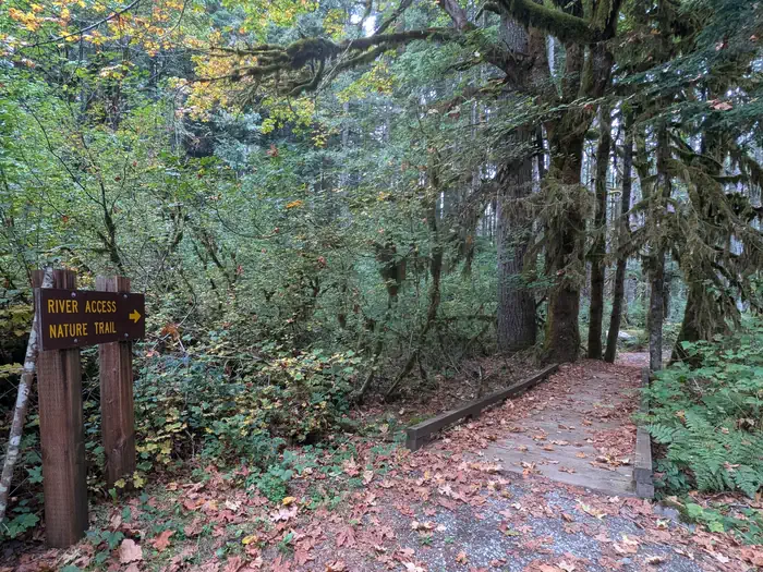
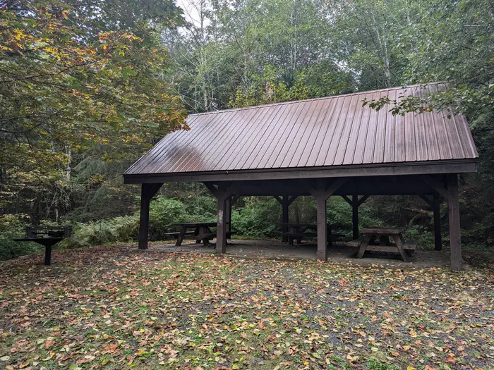
Overview This campground is located along the Middle Fork of the scenic Snoqualmie River in Mt. Baker-Snoqualmie National Forest. Beneath a canopy of towering Douglas fir, cedar and Western hemlock, and located near several hiking trails within a short driving distance, this campground is a perfect site for both individual and small group camping excursions. Recreation In addition to being a prime location for hiking, fishing, horseback riding and picnicking in summer and early fall, Middle Fork offers excellent skiing and snowshoeing in the winter months. Approximately 1,500 miles of trails throughout the area can entice any hiker to get outdoors. From smooth paths meandering through deep quiet forests to challenging ascents up boulder-studded mountains, opportunities abound for every skill level. The popular Middle Fork Trail is a 3 mile trail offering visitors a glimpse into the area's diversity. The trail begins by crossing the Middle Fork of the Snoqualmie River via the Gateway Bridge, then turns upstream and meanders between the river and overhanging cliffs, offering sweeping views of nearby peaks. After climbing away from the river and passing under Stegosaurus Butte, a granite ridge towering over the valley at over 1,000 feet, the trail follows an old logging railroad grade used by pioneers and finally descends back to river level. The Middle Fork Snoqualmie Trail is also used by bicycles and horseback riders. Mountain bikes are allowed on the trail on odd- numbered days of the week. A Recreation Pass is required for each vehicle parked at the trailhead. Facilities Middle Fork Campground offers 39 standard sites, including two group sites. Picnic tables and food storage lockers are also available. Natural Features Hemmed in by several designated wilderness areas, Mt. Baker-Snoqualmie National Forest showcases rugged peaks, sparkling alpine lakes and old-growth forests. On a clear day visitors will see Mt. Baker, the most prominent feature of the Mt. Baker Wilderness Area. Rising to an elevation of 10,781 feet, the active volcano from which the forest takes its name is perpetually snow-capped and mantled with an extensive network of creeping glaciers. Mt. Baker's summit, Grant Peak, is actually a 1,300-foot-deep mound of ice, which hides a massive volcanic crater. Wildlife in the area include mountain goats, coyotes, pine marten and a variety of migratory birds and native fish. Contact Info For facility specific information, please call (530) 932-0242. Nearby Attractions The Verlot Public Service Center, near the South Fork Stillaguamish River, was built by the Civilian Conservation Corps from 1933 to 1942. Verlot`s handsome buildings reflect the architectural style and fine craftsmanship of that era and are listed on the National Register of Historic Places. Visitors enjoy the North Cascades and Mt. Rainer National Parks, where interpretive programs and exhibits offer education about the diverse landscape and history of the area. Charges & Cancellations Once your reservation start date has begun, neither the Recreation.gov Contact Center nor the campground manager will be able to modify your reservation.
From the managing agency.
Is Middle Fork Campground free?
We do not have a fee on record for Middle Fork Campground. Confirm the cost locally before you go.
How do I get to Middle Fork Campground?
Middle Fork Campground is at 47.5486, -121.5417. We do not hold written directions for this one, so navigate to the coordinates.
Nearby
SourceSource data is agency published. Last synced September 19, 2026. Community reports and photos are submitted by travelers and are not verified by the agency.
