
LOWER FALLS CAMPGROUND
Campground · Fee
Fast facts
- Cost
- Fee charged
- Type
- Campground
- Phone
- 509-395-3400
- Nearest dump station
- Bumping Lake Dump Station · 55.4 mi
- Coordinates
- 46.1566, -121.8785
- Last verified
- September 19, 2026
About this place
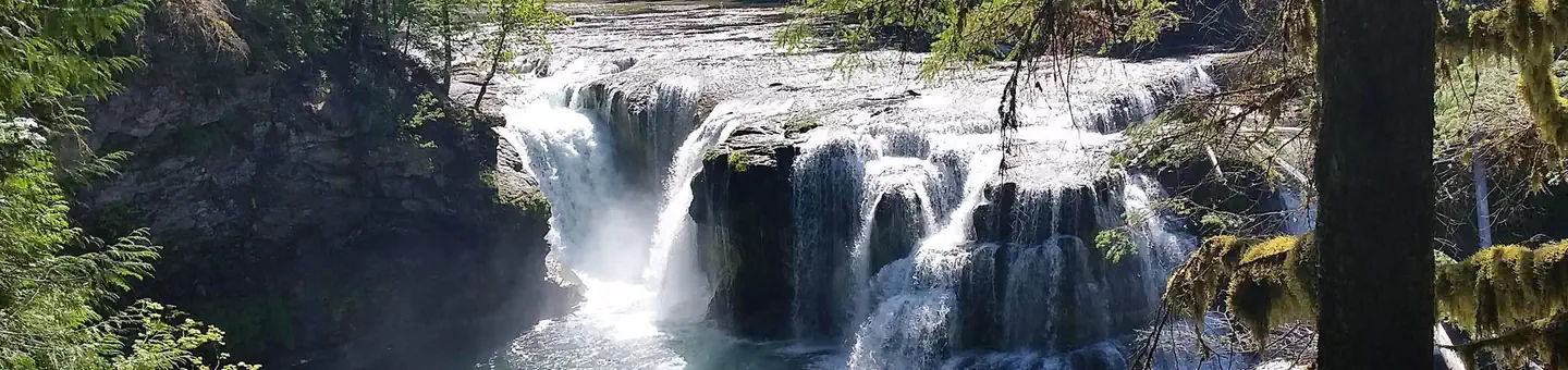
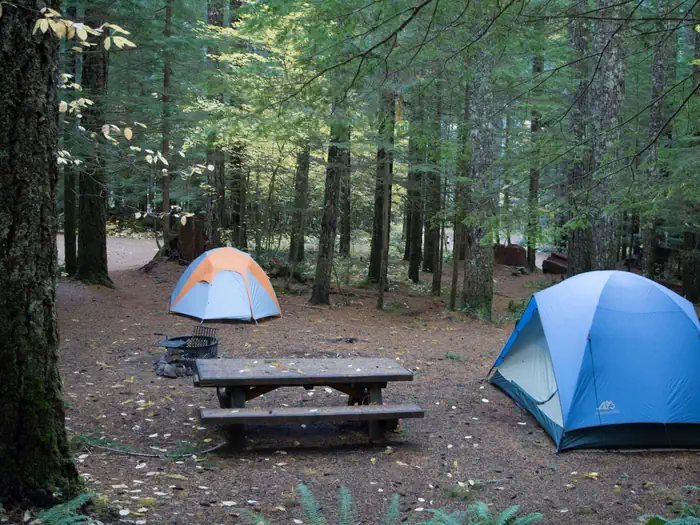
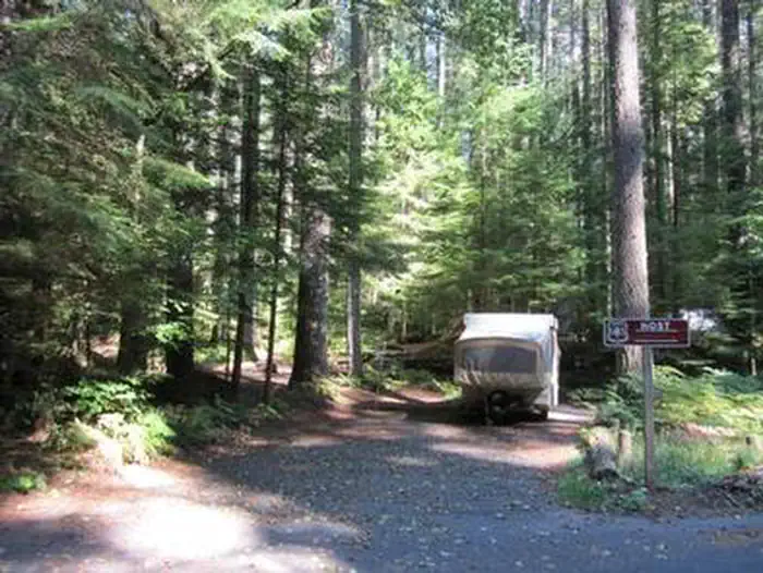
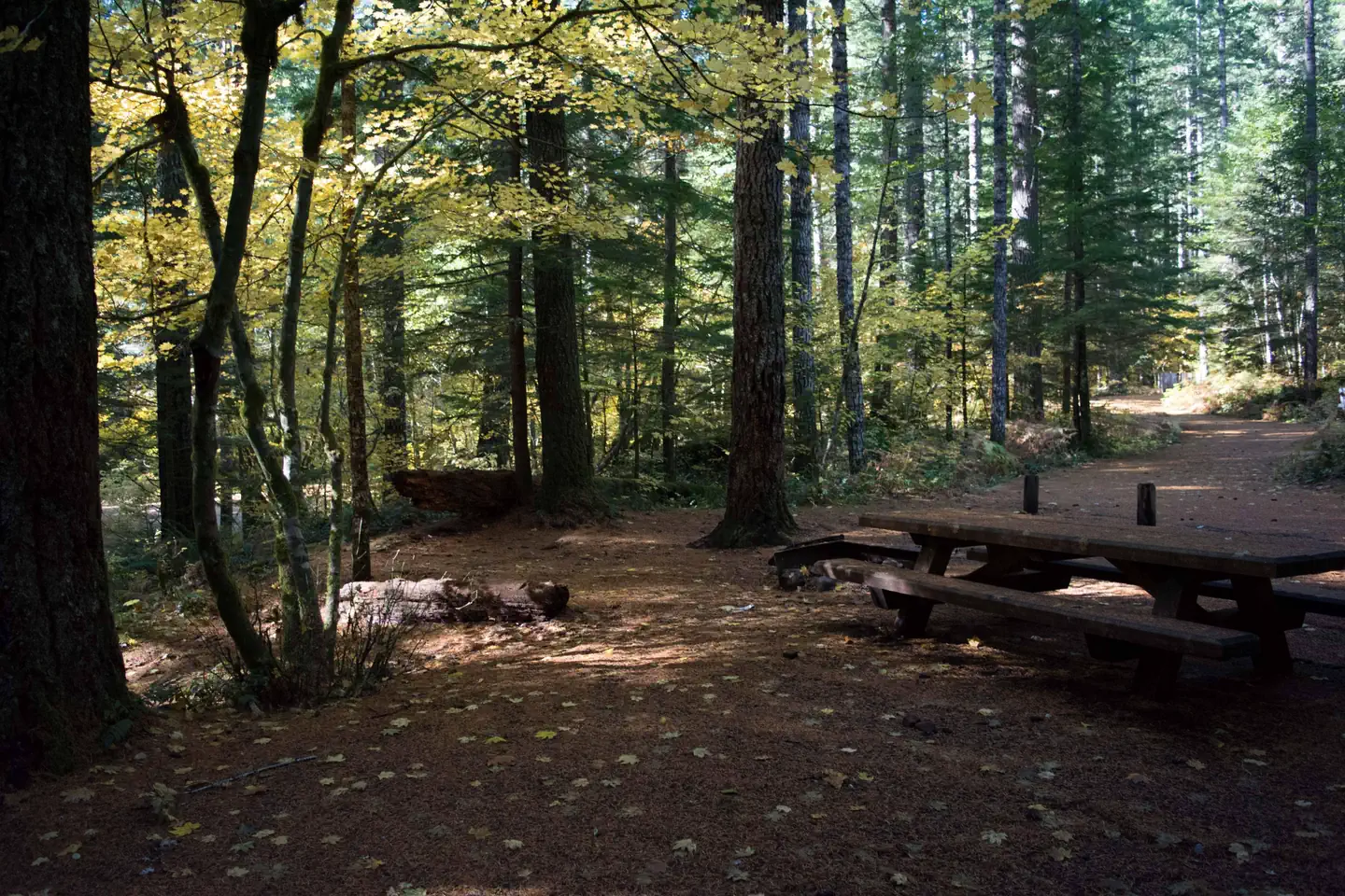
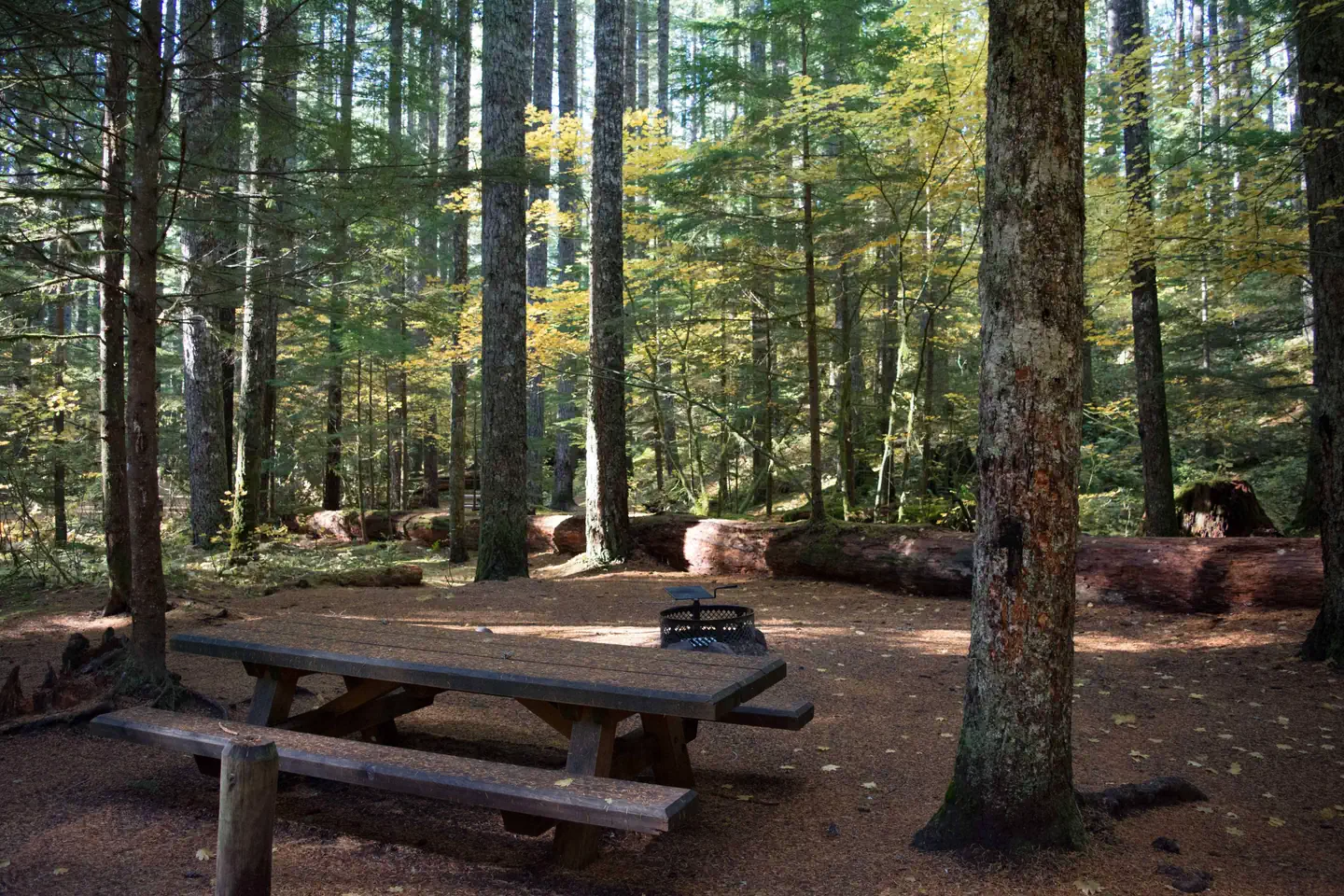
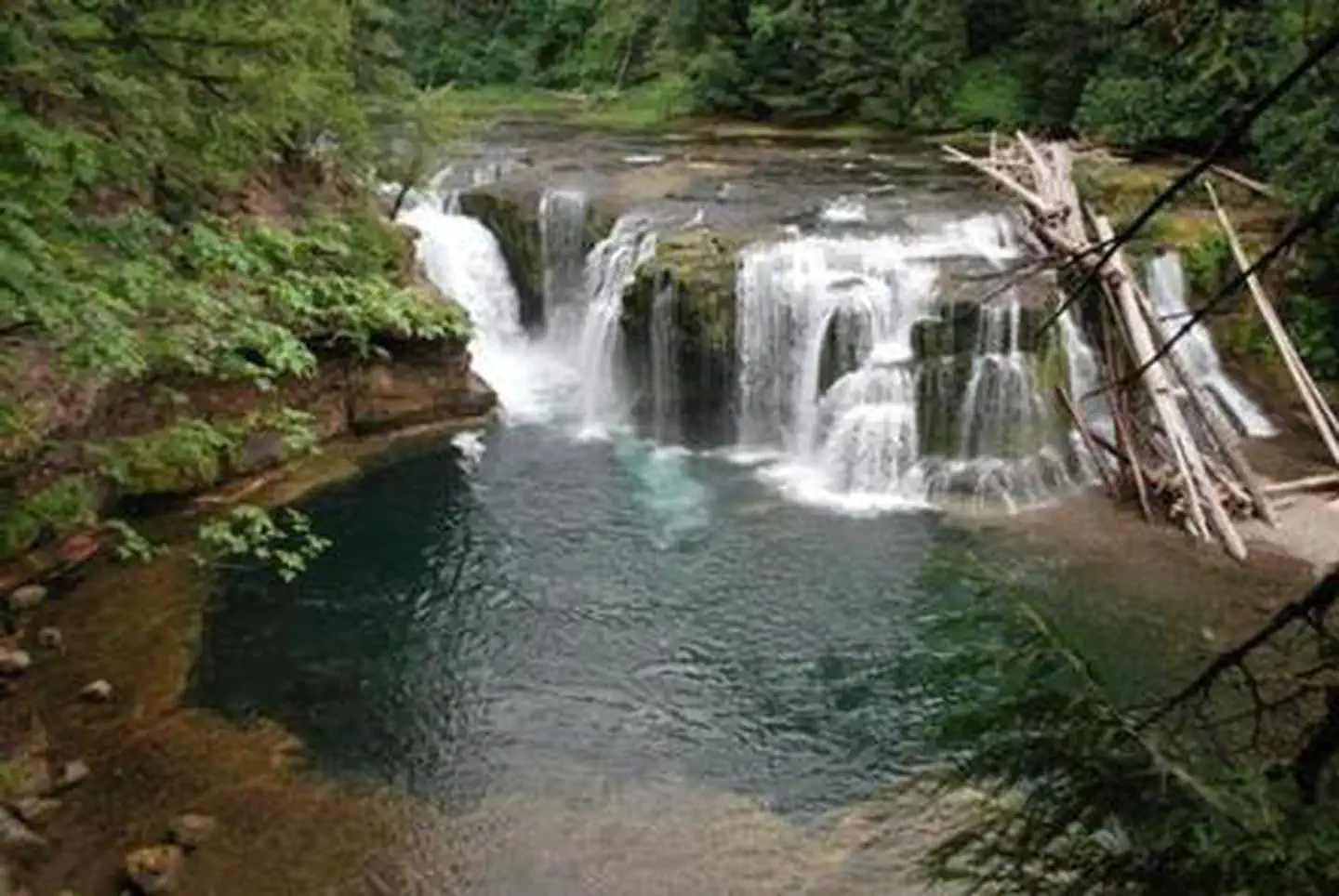
Overview Lower Falls Campground is located in the Gifford Pinchot National Forest. Visitors enjoy several waterfalls in the area and access to the Lewis River Trail. The campground is open from mid-May through October. Recreation Near the campground are several trailheads that provide visitors with a variety of recreational opportunities. There are hiking trails, mountain bike trails, horse trails, and motorcycle trails within 10 miles of the campground. The Lewis River contains rainbow, cutthroat, and bull trout as well as whitefish. The area is catch and release only. Facilities Lower Falls Campground offers 43 standard sites that accommodate both tents and RVs (36 feet), but no hookups are available. Picnic tables and campfire rings with grills are provided, as are composting toilets and drinking water. Natural Features The campground is just off the Lewis River at an elevation of 1,300 feet. The campground road is paved and shaded by large evergreen trees. There are trails down to the Lewis River and falls area. Nearby Attractions There are falls viewing opportunities at Lower Lewis River Falls, Curly Creek Falls, Big Creek Falls, and Middle Falls, all within 15 minutes of the campground. Hiking trails within 10 miles include trail #31 Lewis River, Trail #5 Quartz Creek, and trail #80 Wright Meadows. Contact Info For facility specific information, please call (661) 702-1420.
From the managing agency.
Is LOWER FALLS CAMPGROUND free?
No. LOWER FALLS CAMPGROUND charges a fee.
How do I get to LOWER FALLS CAMPGROUND?
LOWER FALLS CAMPGROUND is at 46.1566, -121.8785. We do not hold written directions for this one, so navigate to the coordinates.
Nearby
SourceSource data is agency published. Last synced September 19, 2026. Community reports and photos are submitted by travelers and are not verified by the agency.
