
Gorge Lake Campground
Campground · Fee
Fast facts
- Cost
- $20.00
- Type
- Campground
- Sites
- 8 total · 8 reservable · 0 first come
- Reservations
- recreation.gov
- Phone
- 360-854-7200
- Coordinates
- 48.7157, -121.1515
- Last verified
- September 19, 2026


About this place
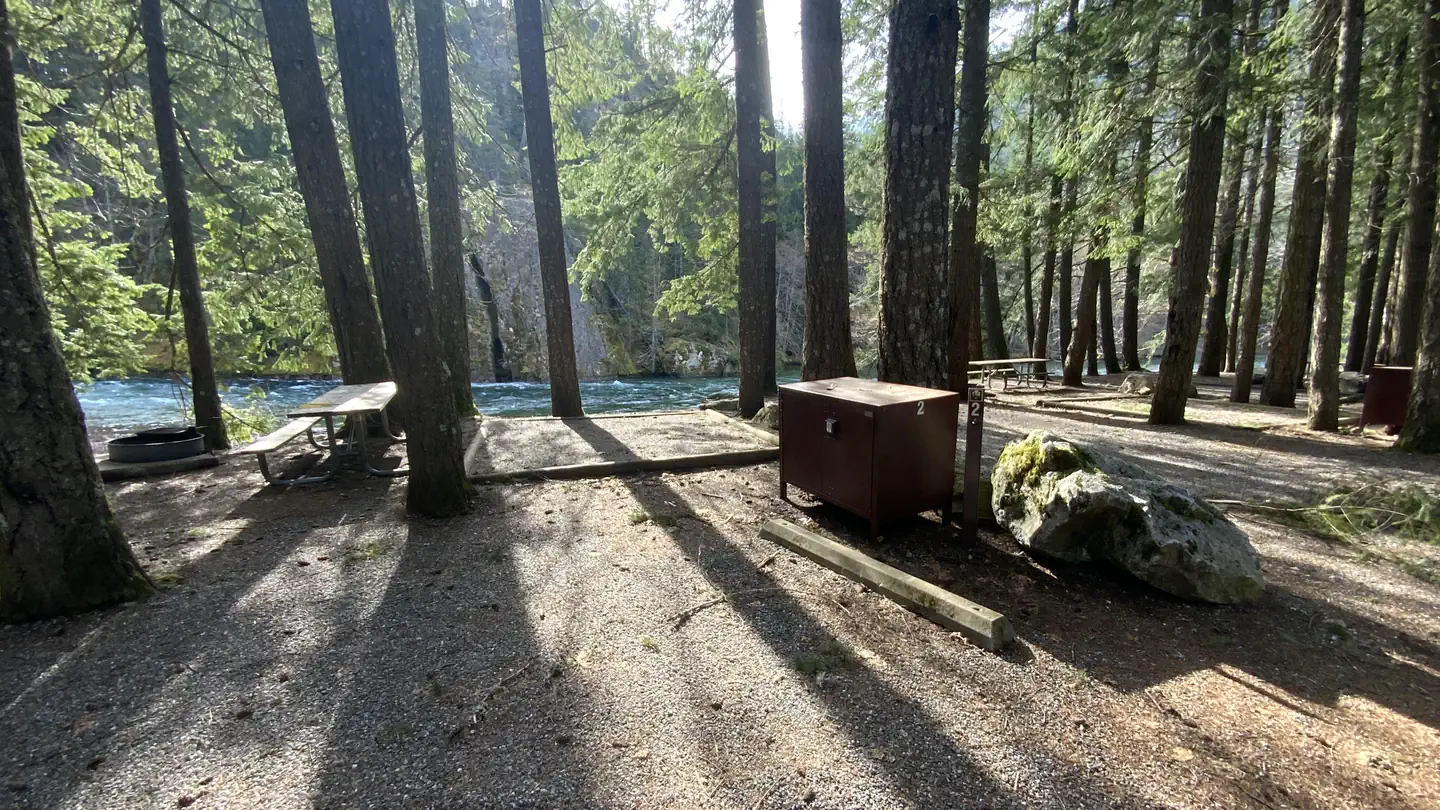
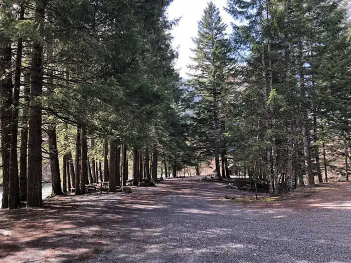
Overview Gorge Lake Campground is a small, primitive campground with 8 sites. The campground is set on a steep bank overlooking Gorge Lake. The sites are small and do not accommodate large RVs or trailers. There is an accessible boat ramp at the lower end of the campground. Recreation The campground has an accessible boat launch and small dock. This boat launch is not recommended for large powerboats. Ideal for canoes, kayaks, paddle boards, and small power boats. Practice boating safety while on the water. Fishing is allowed in Gorge Lake with a Washington State Fishing license. The nearest location to purchase a license is in the town of Marblemount, WA. Follow Washington State Fishing Regulations when recreating. Hiking and other recreation opportunities can be found across the park. Black bears are active in this campground and the surrounding trails. Be aware of your surroundings while hiking, picnicking, and camping. Use the provided bear boxes in your campsite to store coolers, cookware, and other odorants when not in use. If you encounter a bear around the campground or on a trail, inform campground staff or go to the North Cascades Visitor Center and fill out a bear report. Facilities Primitive camp with no water or services. Bring water and pack out all trash. Vault toilets. Gathering firewood is prohibited. Firewood is available outside the park. Each campsite includes a picnic table, fire ring, and some sites have tent pads. Natural Features Gorge Lake Campground is a minimally forested campground with surrounding views of the Gorge Lake. At an elevation of 900’ this campground experiences bouts of powerful winds from the Fraser Valley Outflow. Nearby Attractions Traveling west on State Route 20: The North Cascades Visitor Center is 7.5 miles (12 km) west on State Route 20 from Gorge Lake Campground, operating seasonally, typically from May to September. Campers can find the passport stamps, exhibits, park film, park store, and much more. Traveling east on State Route 20: Diablo Lake Overlook is 6.5 miles (10 km) east on State Route 20. There is ample day use parking and vault toilets. Ross Lake Overlook is 10 miles (16 km) east on State Route 20, this is a less developed vista point. There are two pull off areas with interpretive way sides and with views of the Ross Dam and the Ross Lake. Contact Info For facility specific information, please call (360) 854-7200.
From the managing agency.Official page
Is Gorge Lake Campground free?
No. Gorge Lake Campground charges $20.00. 8 of its sites are reservable through recreation.gov.
Can I bring an RV to Gorge Lake Campground?
Gorge Lake Campground has 8 sites on record. 8 sites are reservable and 0 are first come.
How do I get to Gorge Lake Campground?
Located just outside the town of Diablo, north of SR 20 at mile post 126. Twenty miles (32 km) east of Marblemount, 67 miles (108 km) west of Winthrop.
What is the weather like at Gorge Lake Campground?
The best weather for visiting the North Cascades generally occurs between mid-June and late September. Summer daytime temperatures average in the 70s F. Snow is off most trails by mid-July. Autumn and spring are popular for color and wildlife. Storms are common: always be prepared for a few days of rain and wind. The east side of the Cascade Mountains (Lake Chelan National Recreation Area) is drier and warmer in the summer than the west side. Summer temperatures at Stehekin reach the 90s F.
What are the rules at Gorge Lake Campground?
Campsites are considered occupied only when fee has been paid. Payment must be paid within 24 hours of leaving the campsite or reaching cell service. Sites may not be reserved for others. Maximum of two vehicles, eight people and three tents per site. Vehicles and tents must not be placed on or impact vegetation. Check-in time is 2 pm on day of arrival. Checkout time is 12 pm on day of departure. Quiet hours are from 10 pm to 6 am. Generator hours are from 8 am to 8 pm. Camping is limited to no more than 14 days from July 1 to September 1 and no more than 30 days in a calendar year. Do not feed or tease wildlife - keep your food and other appealing items in your vehicle or bear box at all times except when eating or using them. Pets must be on a leash no longer than 6 feet or confined at all times. Fires are only permitted in designated fire grates and must be attended at all times. Firewood collecting is prohibited; please purchase firewood from a local vendor.
Nearby
- Colonial Creek North Campground2.9 mi
- Colonial Creek South Campground3.1 mi
- Newhalem Creek Campground5.7 mi
- LOWER GOODELL GROUP CAMPGROUND6.0 mi
- UPPER GOODELL GROUP CAMPGROUND6.0 mi
- Goodell Creek Campground6.1 mi
- Lower Goodell Group Campground6.1 mi
- Marble Creek Campground13.8 mi
No other services within 50 mi on the record.
SourceSource data is agency published. Last synced September 19, 2026. Community reports and photos are submitted by travelers and are not verified by the agency.
