
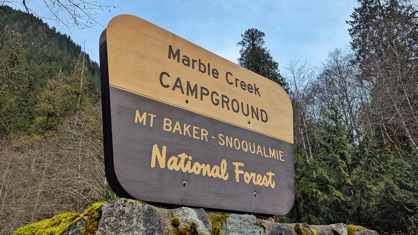
Marble Creek Campground
USFS · Campground · Fee
Fast facts
- Cost
- Fee charged
- Managed by
- USFS
- Type
- Campground
- Hours
- Quiet hours are 10:00 p.m. until 6:00 a.m.
- Phone
- 360-804-1103
- Coordinates
- 48.5332, -121.2721
- Last verified
- September 19, 2026

About this place
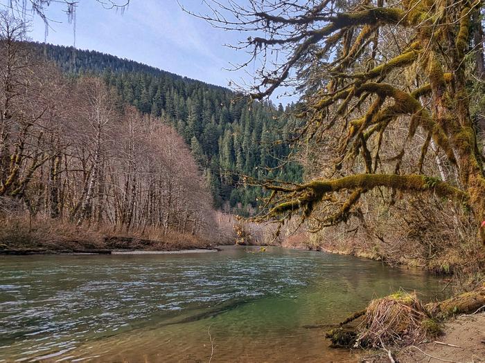
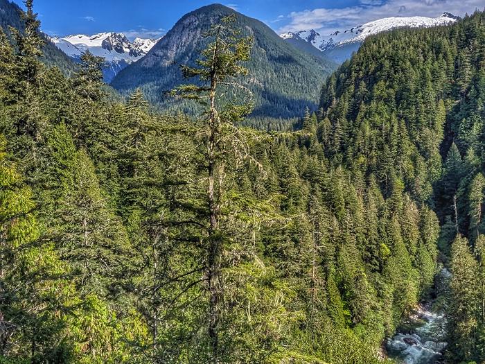
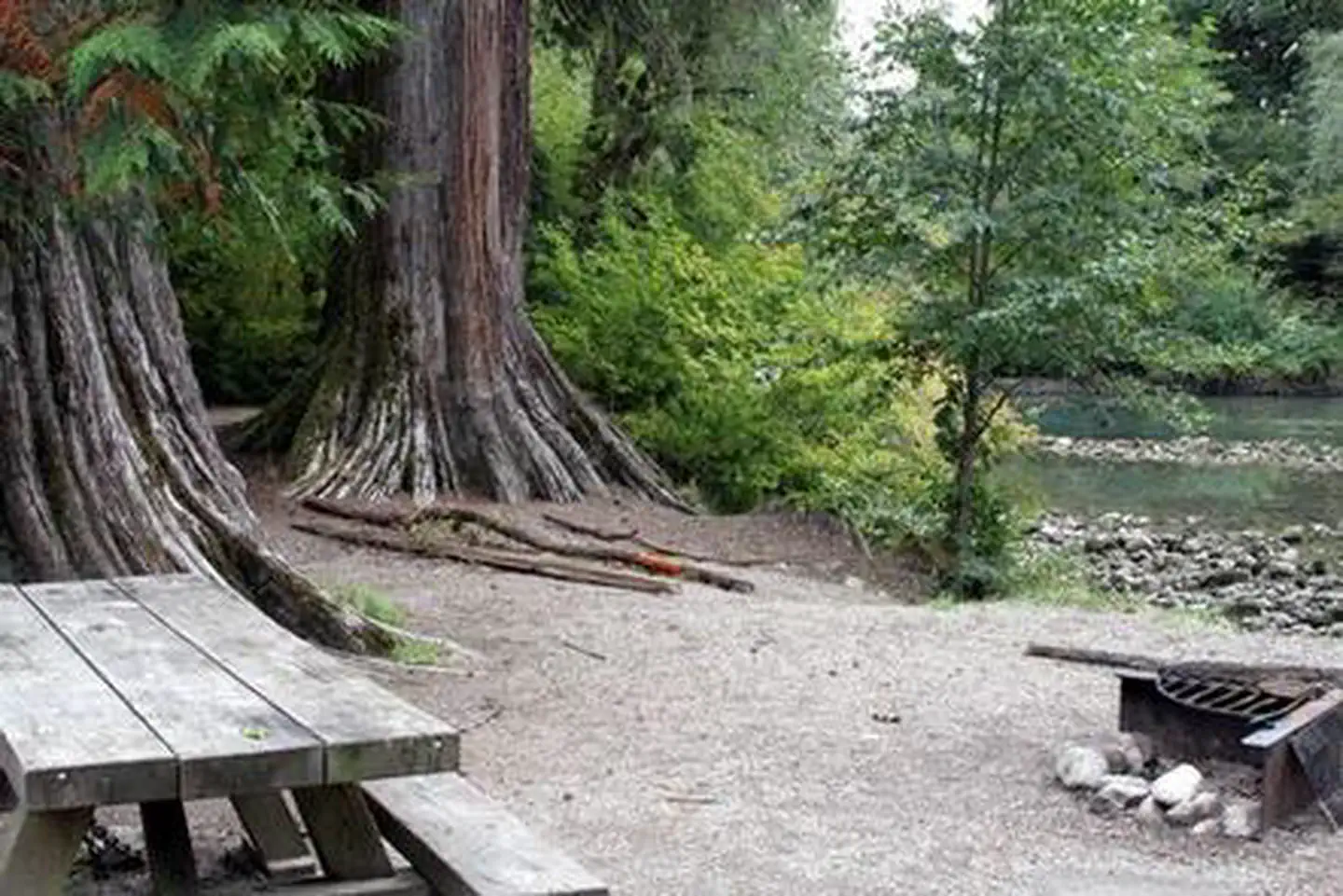
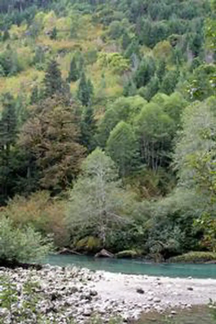
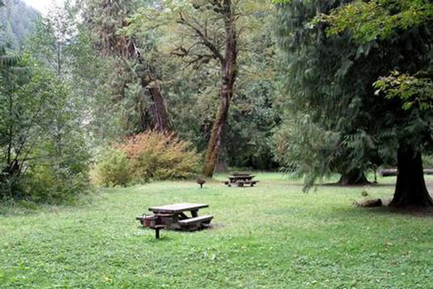
Overview Situated on the banks of the scenic Cascade River in Mt. Baker-Snoqualmie National Forest, Marble Creek campground offers some of the most stunning scenery in the northern Cascade Range. Campsites are scattered beneath a towering canopy of diverse forest. They are widely spaced and within walking distance to the waterfront, making it an ideal setting for visitors wanting to camp in a private, rustic setting. Recreation In addition to being a prime location for hiking, fishing, picnicking and horseback riding in summer and early fall, Marble Creek offers excellent skiing and snowshoeing in the winter months. The area surrounding the campground can accommodate anyone from the novice hiker to the most experienced outdoor enthusiast. Several trailheads for the overnight backpacker are located in the vicinity of the nearby town of Marblemount, including Hidden Lake Trail. Beginning in a forested setting, the trail climbs quickly to open meadows and grand views of the Cascade River. As it reaches higher elevations, it winds through angular slabs of granite and groupings of alpine fir. Hidden Lake and the Hidden Lake Lookout can be seen below from the pass. Facilities Marble Creek Campground can accommodate RV, trailer or tent-campers however water and electric hookups are not available. This is a NO WATER facility so campers will need to bring their own supply. All sites are equipped with a picnic table and campfire ring with grill and the campground has vault toilets available. Natural Features Hemmed in by several designated wilderness areas, the Mt. Baker-Snoqualmie National Forest showcases rugged peaks, sparkling alpine lakes and old-growth forests. Mt. Baker, the most prominent feature of the area, dominates the landscape on a clear day. Rising to an elevation of 10,781 feet, the active volcano from which the forest takes its name is perpetually snow-capped and mantled with an extensive network of creeping glaciers. Mt. Baker's summit, Grant Peak, is actually a 1,300-foot-deep mound of ice, which hides a massive volcanic crater. Flowing adjacent to this campground is the Cascade River, a tributary of the Skagit River, designated as a National Scenic River. Wildlife in the area include mountain goats, coyotes, pine marten and a variety of migratory birds and native fish. Nearby Attractions Visitors enjoy the North Cascades and Mt. Rainer National Parks, where interpretive programs and exhibits offer education about the diverse landscape and history of the area. The Verlot Public Service Center, near the South Fork Stillaguamish River, is a popular attraction. Built by the Civilian Conservation Corps from 1933 to 1942, Verlot`s handsome buildings reflect the architectural style and fine craftsmanship of that era and are listed on the National Register of Historic Places. Contact Info For facility specific information, please call (530) 932-0242. Charges & Cancellations Once your reservation start date has begun, neither the Recreation.gov Contact Center nor the campground manager will be able to modify your reservation.
From the USFS.
Is Marble Creek Campground free?
No. Marble Creek Campground charges a fee. It is managed by the USFS.
How do I get to Marble Creek Campground?
Cross the Skagit River bridge at the town of Marblemount and continue approximately 8 miles along the graveled Cascade River Road to the Marble Creek Campground.
What are the rules at Marble Creek Campground?
All developed site regulations apply. Dogs must be on leash, campfires in developed rings only, quiet hours between 10 p.m. and 8 a.m. Fireworks are prohibited. Stay limit is 14 days.
Nearby
- Mineral Park Campground6.8 mi
- Mineral Park Campground7.0 mi
- Goodell Creek Campground9.7 mi
- LOWER GOODELL GROUP CAMPGROUND9.7 mi
- UPPER GOODELL GROUP CAMPGROUND9.7 mi
- Newhalem Creek Campground9.8 mi
- Lower Goodell Group Campground9.9 mi
- Colonial Creek North Campground13.4 mi
No other services within 50 mi on the record.
SourceData from the USFS. Last synced September 19, 2026. Community reports and photos are submitted by travelers and are not verified by the agency.
