
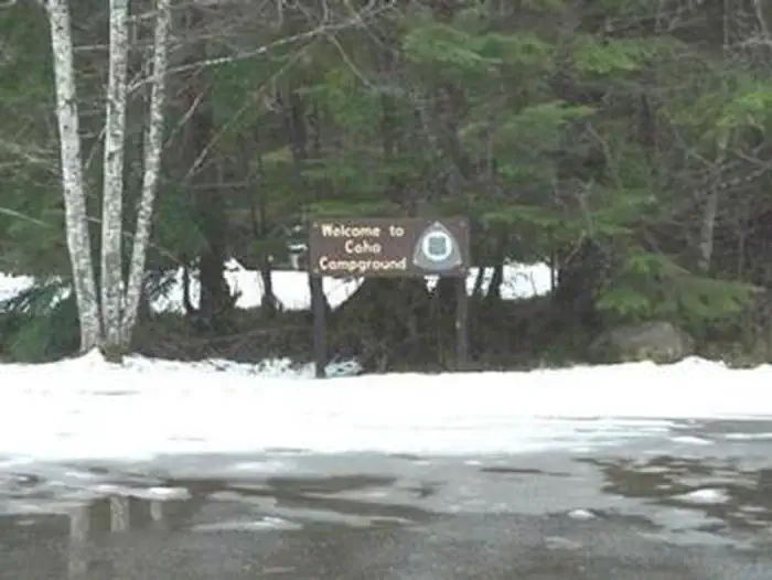
COHO CAMPGROUND
USFS · Campground · Fee
Fast facts
- Cost
- Fee charged
- Managed by
- USFS
- Type
- Campground
- Reservations
- recreation.gov
- Coordinates
- 47.3904, -123.6047
- Last verified
- September 19, 2026
About this place
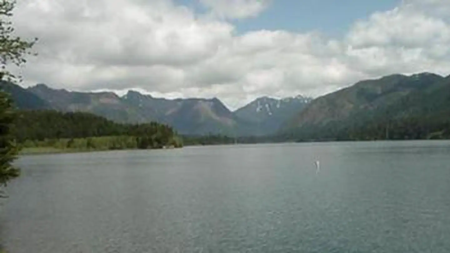
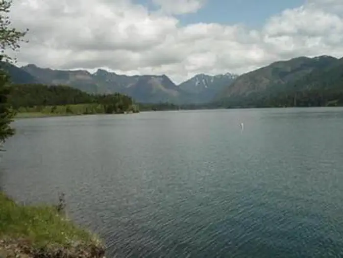
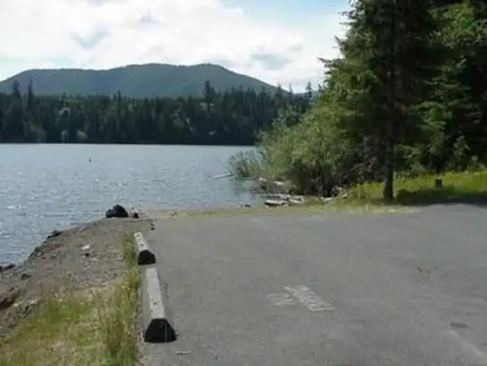
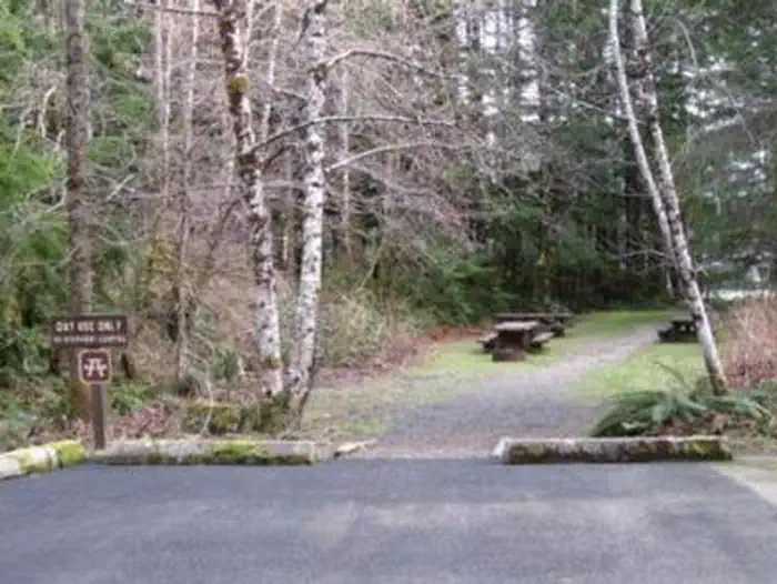
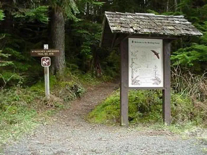
Overview Coho Campground is situated on the west shore of Wynoochee Lake, part of the emerald paradise that is Olympic National Forest. Evergreen conifers and hardwoods provide a beautiful wooded setting. Recreation Recreational opportunities abound, including picnicking, swimming, hiking, boating, hunting and fishing, all possible within the area. The Working Forest Nature Trail, an accessible trail beginning inside the campground, is a 1/2-mile interpretive journey into how the natural resources are hard at work providing opportunities and commodities for the American public. Facilities The campground offers 44 standard campsites that will accommodate tents, trailers and RVs up to 36' in length. Two group sites will accommodate up to 16 people each. There are nine walk-in tent camping units, one of which will accommodate 12 people. Three yurts are also available for reservation with each accommodating a maximum of six people and two vehicles. There is a short walk of 300-500 feet to reach each yurt. Yurt sites #57 and #58 do not allow additional tents, trailers, or RV camping. Yurt site #50 will accommodate an additional tent. The yurts are non-smoking units . Coho has flush toilets, drinking water and trash collection, as well as picnic tables, campfire rings and a paved road. Trails and a boat ramp are also available. An RV dump station is located just outside the campground on Forest Road 2294. Natural Features Olympic National Forest is located on the Olympic Peninsula in the northwest corner of Washington State, known as the Evergreen State. The Olympic Peninsula is an unique geographic province consisting of five major landscapes: temperate rain forest, rugged mountain terrain, large lowland lakes, cascading rivers and saltwater beaches. Here the flora and fauna provide interest beyond the imagination. Nearby Attractions Scenic Spoon Creek Falls and Wynoochee Falls are both accessed by short trails nearby. The 16-mile Wynoochee Lake Shore Trail circles the entire lake and is open to mountain bikes. At the nearby Wynoochee Dam, visitors can enjoy exhibits at the vista overlook and a dramatic view of the river gorge just below the dam. Swimming and picnicking facilities are available at the dam.
From the USFS.Official page
Is COHO CAMPGROUND free?
No. COHO CAMPGROUND charges a fee. It is managed by the USFS. Sites are reservable through recreation.gov.
How do I get to COHO CAMPGROUND?
From Montesano, WA head north on the Wynoochee Valley Road (1 mile west of Montesano off Route 12). Drive 35 miles on the Wynoochee Valley Road (Forest Service Road 22) to a major intersection. Turn left to stay on Forest Service Road 22. Drive a short distance and turn right on Forest Service Road 2294. Drive about one mile to campground. From Olympia, WA travel north on Highway 101 towards Shelton, WA for about 19 miles. Take the exit towards Matlock and travel approximately 15 miles on Dayton-Matlock Road. From Matlock, continue straight at the junction onto the Matlock-Deckerville Road, which turns into the Boundary Road. Drive 8.8 miles, make a right turn onto Cougar-Smith Road and drive about 5.5 miles to Forest Service Road #22. Turn right on Forest Service Road #22 and drive 15 miles on Forest Service Road #22 to a major intersection. Turn left, stay on Forest Road 22, drive a short distance and turn right on Forest Service Road 2294. Drive about one mile to Coho Campground.
What are the rules at COHO CAMPGROUND?
No more than 8 people per campsite. Maximum 12 people in group site. Maximum stay is 14 days. Pets must be leashed. Trailers and RVs 36 ' max.
Nearby
- Wynoochee Lake Shore Trailhead - Coho Campground0.1 mi
- Satsop Center Group Campground2.4 mi
- Satsop Campground2.4 mi
- Campbell Tree Grove Campground7.4 mi
- Gatton Creek Campground/Day Use Area12.3 mi
- Falls Creek Campground/Day Use Area12.5 mi
- FALLS CREEK CAMPGROUND12.5 mi
- WILLABY CAMPGROUND13.0 mi
No other services within 50 mi on the record.
SourceData from the USFS. Last synced September 19, 2026. Community reports and photos are submitted by travelers and are not verified by the agency.
