
STEEL BRIDGE CAMPGROUND
Campground · Fee not listed
Fast facts
- Cost
- Not listed. Check locally.
- Type
- Campground
- Phone
- (540) 552-4641
- Coordinates
- 37.5984, -80.2274
- Last verified
- September 19, 2026
About this place
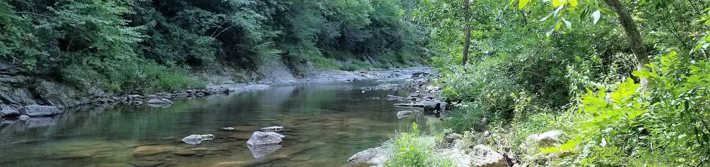
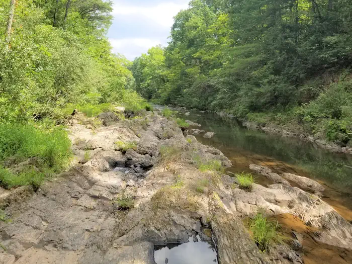
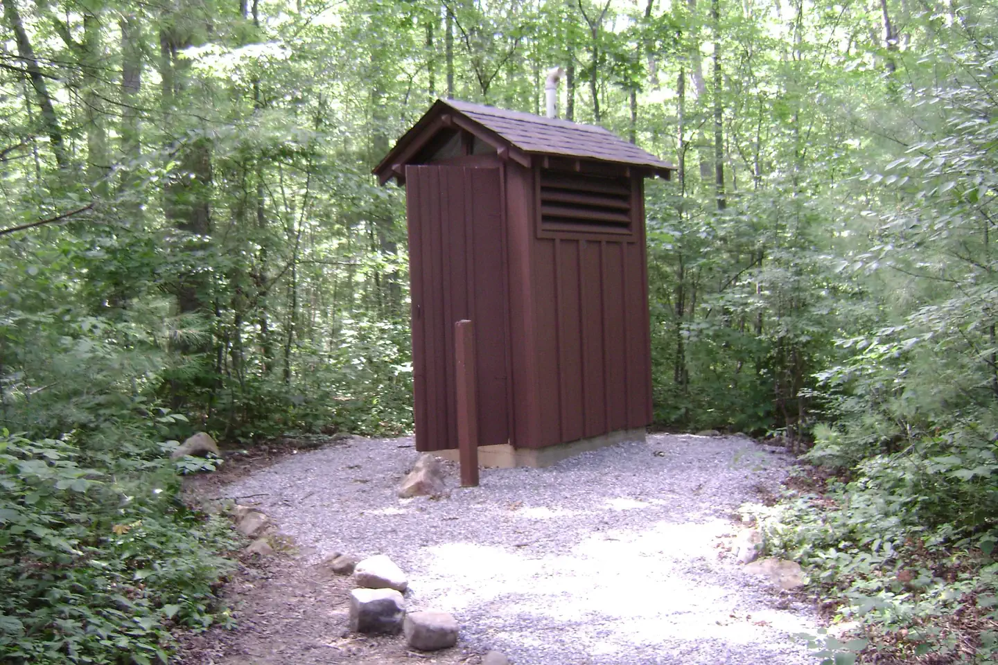
Overview Steel Bridge Group Campground provides old-fashioned, rustic group camping for those that require few amenities. There are three well shaded camping sites for available for small group camping. Recreation Steel Bridge Group Camping provides old-fashioned, rustic group and family camping. Visitors enjoy splashing in the cool water of Potts Creek that edges the campground. Potts Creek is a stocked trout stream and has a small swimming hole as well as many rock ledges and small falls to play in. Facilities There are three color coded campsites -- Red, White and Blue. "Red" and "Blue" have a maximum occupancy of 25 people and 10 vehicles per site. Larger groups must reserve more than one site. "White" campsite has a maximum capacity of 10 people and three vehicles. There is no minimum occupancy at any site. All camping must be within the designated campsites. Tents, vehicles, etc., cannot be outside the boundary of your campsites. The area adjacent to the entrance gate is for day-use only. It is open to ALL permit holders of the three reservable campsites and is not for overnight use. Each group area contains a group fire ring and picnic tables. Two primitive toilets are located within the campground. There is no potable water and no hookups. Natural Features The campground is set in a narrow valley, flanked by National Forest land. Potts Crees lies adjacent to the campground. Nearby Attractions Steel Bridge is located 5 minutes from Paint Bank, VA, and 25 minutes from New Castle, VA.
From the managing agency.
Is STEEL BRIDGE CAMPGROUND free?
We do not have a fee on record for STEEL BRIDGE CAMPGROUND. Confirm the cost locally before you go.
How do I get to STEEL BRIDGE CAMPGROUND?
STEEL BRIDGE CAMPGROUND is at 37.5984, -80.2274. We do not hold written directions for this one, so navigate to the coordinates.
Nearby
- Steel Bridge Group Campground0.5 mi
- The Pines Campground8.3 mi
- Fenwick Mines Pavilion9.7 mi
- CRAIG CREEK RECREATION AREA13.9 mi
- Craig Creek Recreation Area14.7 mi
- Niday Trail Shelter14.8 mi
- Straight Branch Trail Shelter15.0 mi
- Pickle Branch Shelter15.2 mi
No other services within 50 mi on the record.
SourceSource data is agency published. Last synced September 19, 2026. Community reports and photos are submitted by travelers and are not verified by the agency.
