
SHERANDO LAKE GROUP PICNIC SHELTER
Campground · Fee not listed
Fast facts
- Cost
- Not listed. Check locally.
- Type
- Campground
- Phone
- 540-291-2188
- Coordinates
- 37.9297, -78.9797
- Last verified
- September 19, 2026

About this place
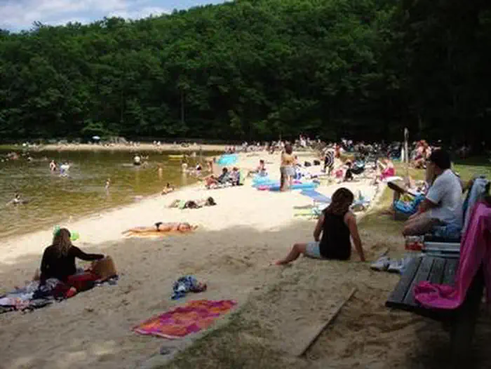
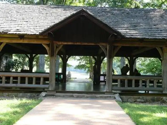
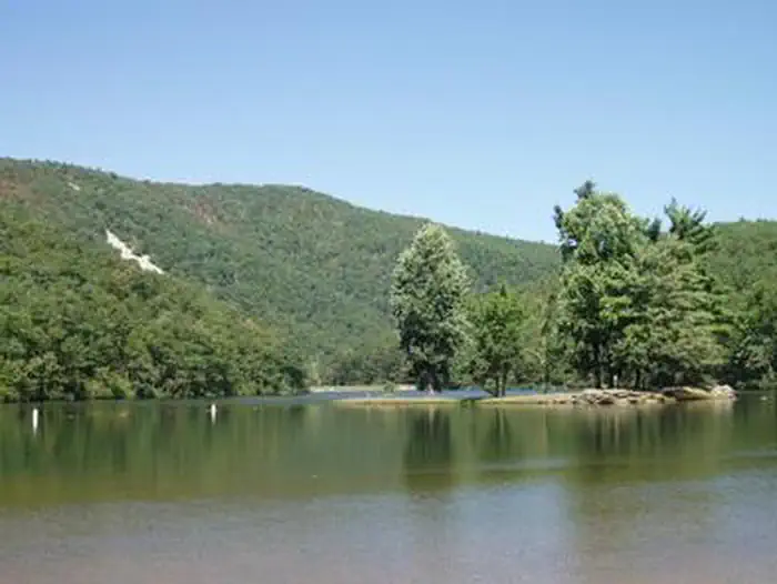
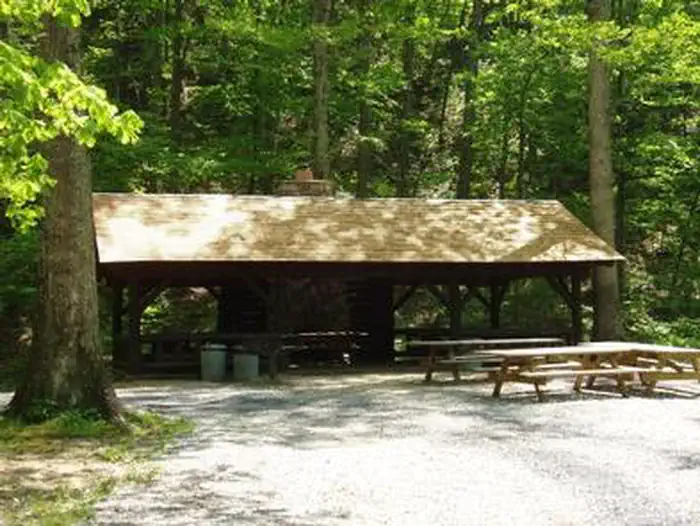
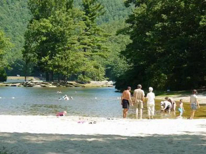
Overview Sherando Lake Group Picnic Shelter, also known as the Williams Branch Group Picnic Shelter is a part of the Sherando Lake Recreation Area. The recreation area is often referred to as the jewel of the Blue Ridge Mountains and is a very popular destination where families enjoy picnicking in the shade and relaxing on the sandy beach. Recreation The 25 acre Lower Lake offers opportunities for swimming in a designated areas with a sand beach, accessible ramp to the water's edge and a beach bathhouse with changing and shower facilities. Fishing and boating are also available outside the designated swimming area in the lake. Fishing is in stocked trout waters during the spring and fall seasons. Visitors will need to have the appropriate Virginia Fishing license, National Forest stamp and trout stamp. Boats with gasoline motors are not permitted on the lower lake - electric troll motors, canoes, kayaks, or similar boats only. A hand-carry ramp is available for access to the lake adjacent to the parking area. Fishing only is available at the 7 acre Upper Lake. This lake is also stocked during the spring and fall seasons and the appropriate licenses are required. Boats are allowed, but there is no launch access - hand carry only. Parking is available at a small area below the group camp area and a walking trail will lead you to the lake. Swimming is not allowed in the upper lake. Hiking trails surround the area offering everything from a short walk around the lake on the Lakeside and Cliff Trails to a day hike up the mountain on the White Rock Trail and the Blue Ridge Parkway. For the more adventurous hiker, more challenging day hikes and backpacking trips are available by heading up the Blue Loop Trail to the Torry Ridge Trail to Bald Mountain and beyond. Bald Mountain used to be the location of a fire lookout tower. Facilities The Group Picnic Shelter (also called Williams Branch Picnic Shelter) was constructed by the Civilian Conservation Corps (CCC) in 1936. Several tables and benches were also constructed by the CCC and are still in use under the shelter. The shelter can accommodate up to 50 people. The picnic shelter reservation fee covers access to Sherando Lake for the reservation holder ONLY. All other guests are responsible for the appropriate Day-Use Fee. These fees can be paid onsite. Amenities at the site include a covered shelter with 4 picnic tables, a double pedestal grill, a fireplace under the shelter, additional picnic tables surrounding the shelter, and a bathroom with flush toilets nearby. The shelter can be accessed by vehicle using a short service road and there is parking for 40 cars immediately adjacent to the shelter. The day use area closes at 9 pm or dusk, whichever comes first and the main gate at the state road closes at 10 pm. Visitors not staying overnight in the campground need to exit before the main gate closes at 10 pm. Natural Features The group picnic shelter is located a short walking distance from the 25 acre lower lake with a sand beach, shaded grassy area and beach bathhouse. The lake is spring and stream-fed by Back Creek, so the water stays refreshingly cool all summer long. Nearby Attractions There are opportunities for gas, groceries, and firewood at convenience stores and local vendors along the state road to Sherando Lake. Ice can be purchased at the Sherando Lake Visitor Center during operating hours. Additional supplies can be obtained in Stuarts Draft, about a 15 minute drive away. The Blue Ridge Pakrway with its scenic overlooks and ridgetop views is a short 3 mile drive up State Route 664 from the Sherando Lake entrance. The Wintergreen Resort offers a golf course and ski area within 10 miles of Sherando Lake.
From the managing agency.
Is SHERANDO LAKE GROUP PICNIC SHELTER free?
We do not have a fee on record for SHERANDO LAKE GROUP PICNIC SHELTER. Confirm the cost locally before you go.
How do I get to SHERANDO LAKE GROUP PICNIC SHELTER?
SHERANDO LAKE GROUP PICNIC SHELTER is at 37.9297, -78.9797. We do not hold written directions for this one, so navigate to the coordinates.
Nearby
- SHERANDO LAKE GROUP CAMP0.0 mi
- Sherando Lake Campground1.7 mi
- SHERANDO LAKE RECREATION AREA FAMILY CAMPING1.8 mi
- Sherando Lake Group Campground2.2 mi
- Maupin Field Trail Shelter3.2 mi
- Harpers Creek Trail Shelter5.1 mi
- Priest Wilderness Trail Shelter9.2 mi
- Seeley-woodworth Trail Shelter12.3 mi
No other services within 50 mi on the record.
SourceSource data is agency published. Last synced September 19, 2026. Community reports and photos are submitted by travelers and are not verified by the agency.
