
PEAKS OF OTTER CAMPGROUND
Campground · Fee
Fast facts
- Cost
- $30.00
- Type
- Campground
- Season
- October 26 to May 21
- Sites
- 139 total · 61 reservable · 78 first come
- Reservations
- recreation.gov
- Phone
- 540-586-7321 (MAY - OCTOBER)
- Coordinates
- 37.4431, -79.6047
- Last verified
- September 19, 2026


About this place
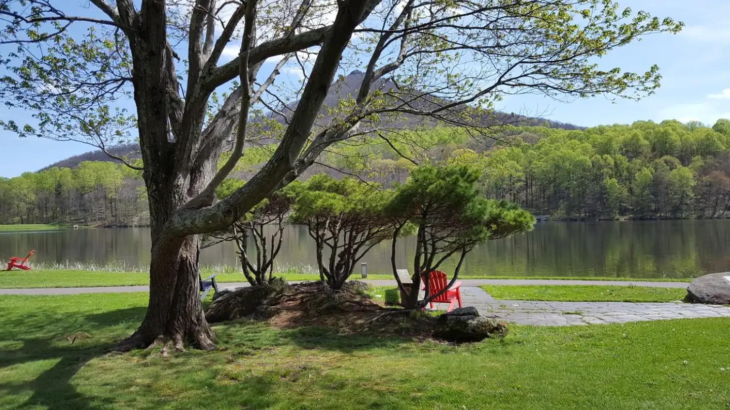
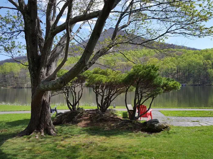
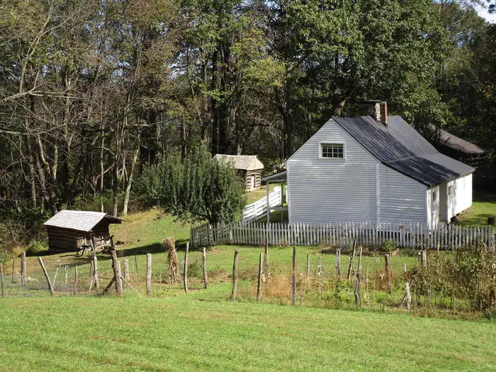
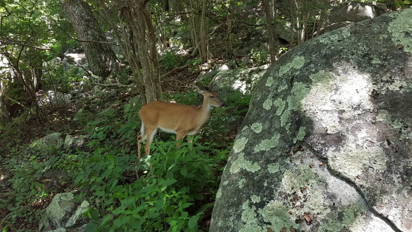
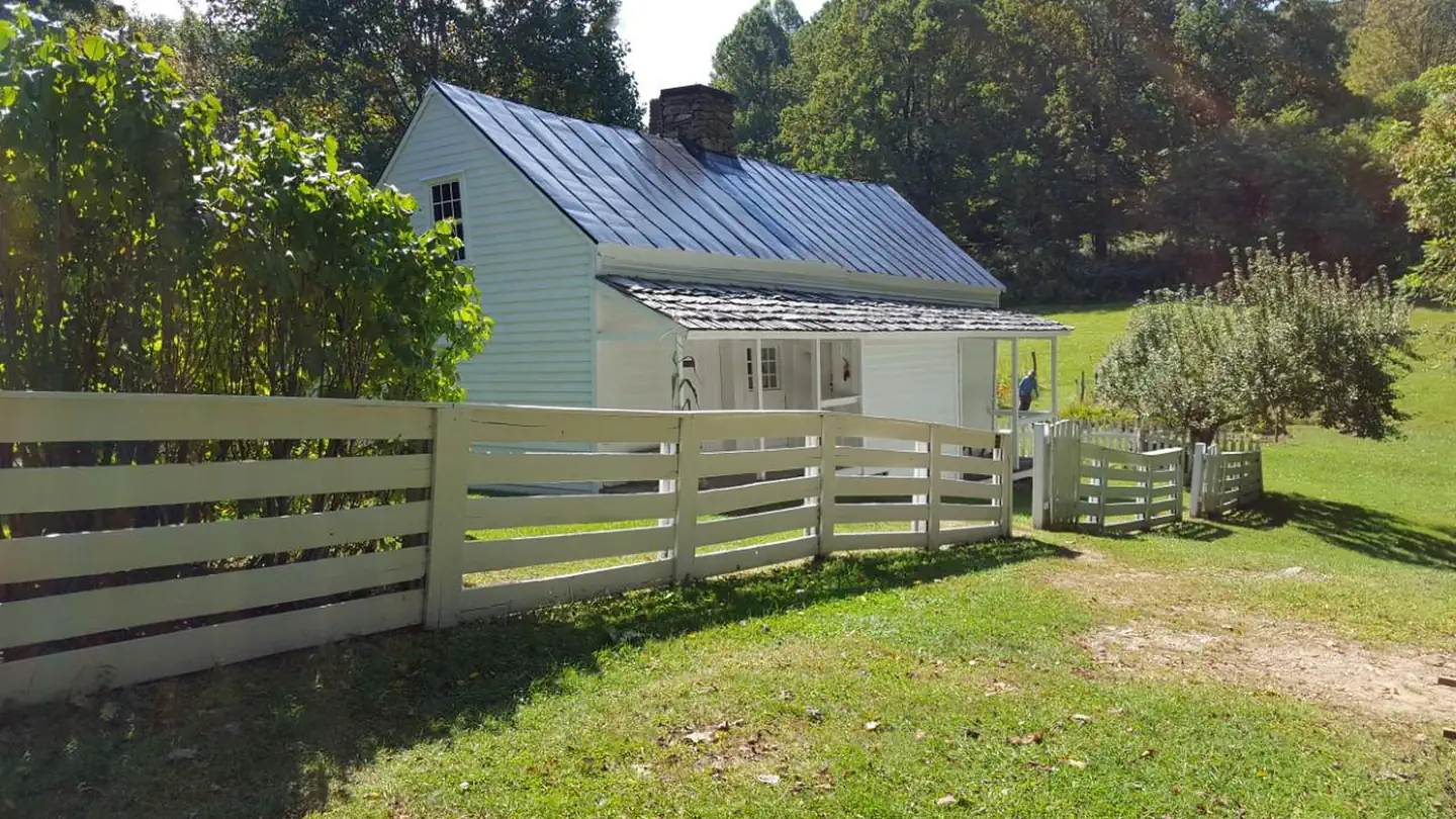
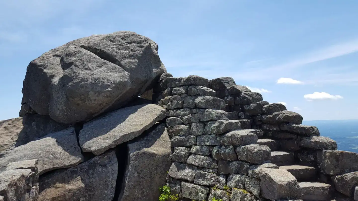
Overview The Peaks of Otter Campground is nestled between the bases of two dominating mountains in the rolling hills of Virginia. Campers enjoy a rare serenity in this rustic setting. Relax, and leave your cares behind! Recreation The 24-acre Abbott Lake is one of the biggest attractions the Peaks of Otter Park has to offer. The lake is well-stocked with small mouth bass and bluegill. A crystal-clear mountain stream winds through the nearby picnic area. Numerous hiking opportunities range from demanding, scaling the area's high mountain peaks, to the moderate short, flat trail around Abbott Lake. Hikers are likely to stumble upon one of the mountain meadows, filled with wildflowers and migrating butterflies in the spring and a fantastic assortment of colors in the fall. Abundant wildlife like deer and wild turkey are spotted daily at the Peaks of Otter Campground, and many rare species of birds reside or migrate along the mountain ranges. Summer interpretive programs are provided for visitors to learn about the wildlife as well as the history of the area. Facilities Campsites are shaded under an umbrella of thick trees, and provide campers with picnic tables, lantern poles, and campfire rings/grills. The campground also offers modern conveniences like flush toilets, drinking water and a dump station. Peaks of Otter Campground almost always has campsites available. In addition to the 60 sites available for advance reservation, there are 79 first-come, first-served campsites available. Availability of first come, first served sites cannot be tracked through Recreation.gov. These sites must be booked in person at the campground kiosk. Natural Features Three mountain peaks sitting atop a thick blanket of forest make up the Peaks of Otter-- a recreational oasis spanning acre upon acre of rolling landscape along the famous Blue Ridge Parkway. The Blue Ridge Parkway is a scenic byway that follows the high crests of the central and southern Appalachians for 469 miles from Shenandoah National Park in Virginia, to the Great Smoky Mountains National Park in North Carolina. Nearby Attractions The Peaks of Otter Lodge and Restaurant are located within walking distance of the campground, as is the Sharp Top Country Store . Restaurant dining, grab-and-go meals, snacks, souvenir items, camping supplies, firewood, and ice are all readily available to campground patrons. The Johnson Farm , an old mountain farmstead restored and preserved to look as it did in the mid-1800s, is just a short walk away. Another restored historic structure, Aunt Polly's Ordinary , sits on the northeastern shore of Abbott Lake.
From the managing agency.Official page
Is PEAKS OF OTTER CAMPGROUND free?
No. PEAKS OF OTTER CAMPGROUND charges $30.00. 61 of its sites are reservable through recreation.gov.
Can I bring an RV to PEAKS OF OTTER CAMPGROUND?
PEAKS OF OTTER CAMPGROUND has 139 sites on record. 61 sites are reservable and 78 are first come.
When is PEAKS OF OTTER CAMPGROUND open?
The season on record runs October 26 to May 21. Dates move with weather and with the managing office, so check before a shoulder-season trip.
How do I get to PEAKS OF OTTER CAMPGROUND?
GPS Info. (Latitude, Longitude): 37.44315, -79.60471 37°26'35"N, 79°36'17"W From Roanoke, Virginia, take the Blue Ridge Parkway north for 26 miles to Milepost 86. From Bedford, Virginia, follow Route 43 to Blue Ridge Parkway; the campground is on the left before reaching the Parkway.
What is the weather like at PEAKS OF OTTER CAMPGROUND?
The Parkway varies in elevation from under 650 feet at Virginia's James River to over 6,000 feet near Mount Pisgah in North Carolina. Weather can vary tremendously. Higher elevations can be cloudy and foggy while lower elevations are clear. Temperatures along the Parkway are often cooler than in surrounding foothills. Carry a jacket or blanket and emergency supplies in the car. Be aware of changing weather conditions and approaching weather systems, as summer heat can bring afternoon thunderstorms.
Nearby
- Cornelius Creek Shelter4.7 mi
- Cove Mountain Trail Shelter5.3 mi
- Bobblets Gap Trail Shelter5.6 mi
- Bryant Ridge Trail Shelter6.1 mi
- North Creek Campground6.9 mi
- Colon Hollow Shelter7.0 mi
- Thunder Hill Trail Shelter8.0 mi
- HOPPER CREEK GROUP CAMP9.6 mi
No other services within 50 mi on the record.
SourceSource data is agency published. Last synced September 19, 2026. Community reports and photos are submitted by travelers and are not verified by the agency.
