
Pax River Paradise Grove Campgrounds
Campground · Fee not listed
Fast facts
- Cost
- Not listed. Check locally.
- Type
- Campground
- Phone
- 301.342.3573
- Coordinates
- 38.3064, -76.3962
- Last verified
- September 19, 2026



About this place
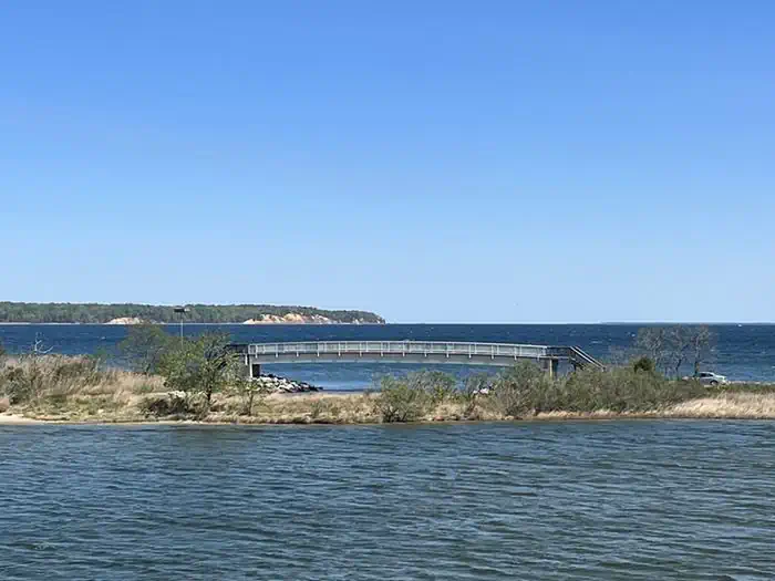
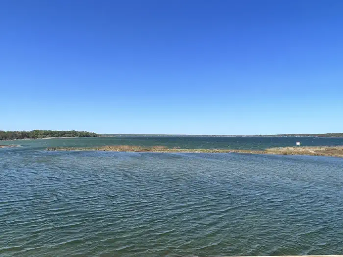
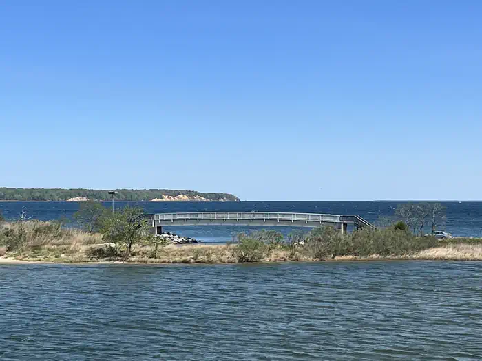
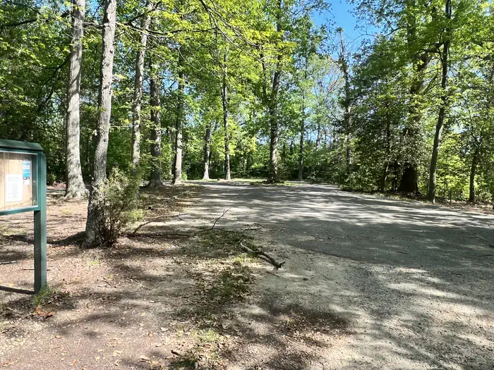
Overview Visitors eligible for reservations at this location are limited to Active Duty, Reservists, Retired Military, Unremarried Widow, Veterans and Department of Defense employees. Learn more about eligible visitors and access to this military base recreation site. A variety of recreational programs and facilities await you and your family at Naval Air Station Patuxent River, located just 55 miles south of Washington D.C. Situated at the confluence of the Patuxent River and Chesapeake Bay, this is an area rich in both American and Navy history and natural beauty. Part of the legacy of Southern Maryland may be found in the spacious, natural campsite areas aboard the installation. Recreation Water lovers will find that NAS Patuxent River stretches across approximately 12 miles of shoreline offering locations to launch kayaks, stand up paddle boards, motor and sail boats, places for fishing and crabbing as well as areas for the beach lovers. Bicyclists will find a 10 mile paved loop within the installation as well as designated bike trails. MWR also has a Golf Course, Outdoor Pool, Marina, Theater, Community Recreation Office, Auto Hobby Shop and Fitness Center. Facilities • Tent Only Nonelectric • Overnight Natural Features NAS Patuxent River Paradise Grove Campground is located where the Chesapeake Bay meets the Patuxent River, offering the best views for sunrises as well as sunsets Nearby Attractions • Historic St. Mary's City • Patuxent River Air Museum • Historic Sotterly • St. Clement's Island • Point Lookout State Park • Solomon's Island • Navy Recreation Center Solomons
From the managing agency.
Is this site free?
We do not have a fee on record for this site. Confirm the cost locally before you go.
How do I get to this site?
this site is at 38.3064, -76.3962. We do not hold written directions for this one, so navigate to the coordinates.
Nearby
- Pax River Hog Point Campgrounds0.1 mi
- George Washington Birthplace National Monument Picnic Pavilion29.3 mi
- Fort Washington Park Day Use Facilities44.2 mi
- Fort Hunt Picnic Areas45.4 mi
- Fort Dupont Park Picnic Areas49.4 mi
No other services within 50 mi on the record.
SourceSource data is agency published. Last synced September 19, 2026. Community reports and photos are submitted by travelers and are not verified by the agency.
