
George Washington Birthplace National Monument Picnic Pavilion
Campground · Fee not listed
Fast facts
- Cost
- Not listed. Check locally.
- Type
- Campground
- Phone
- 804-224-1732 X 240
- Coordinates
- 38.1894, -76.9144
- Last verified
- September 19, 2026
About this place
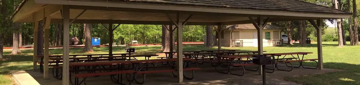
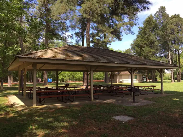
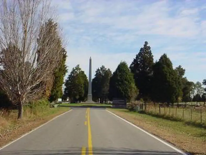
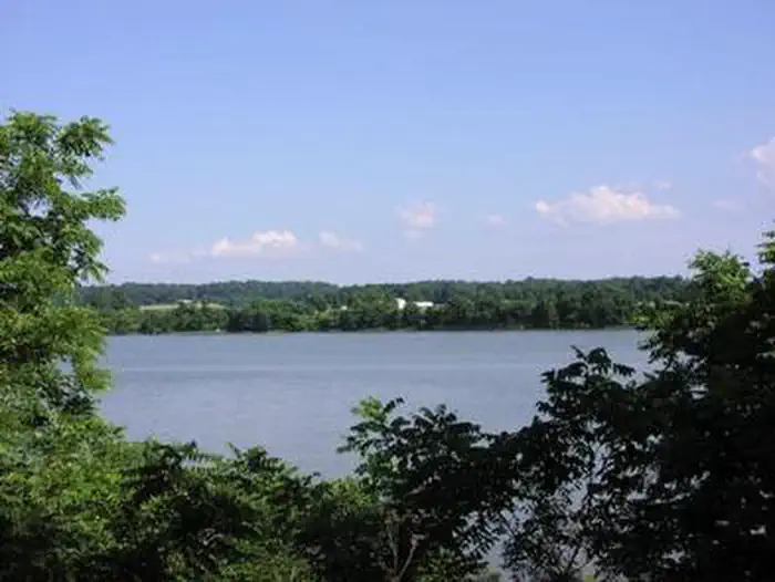
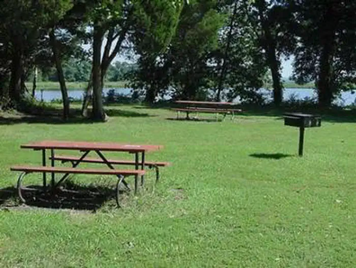
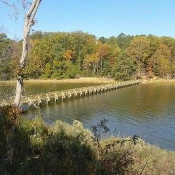
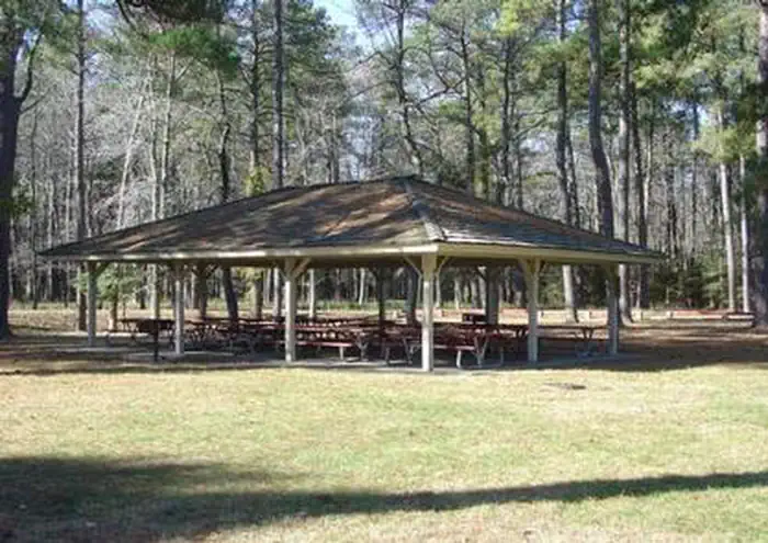
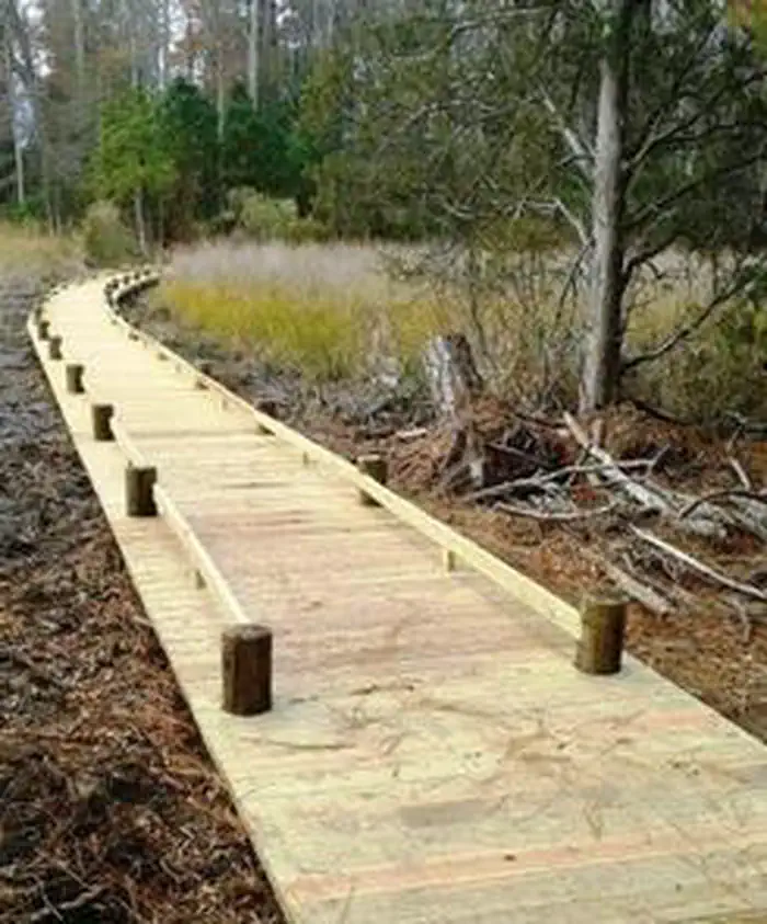
Overview The Popes Creek Picnic Area Pavilion is located within George Washington Birthplace National Monument. The surrounding picnic grounds were built by the Civilian Conservation Corps in the 1930's. A connecting foot bridge leads to the historic area, farm, colonial garden, visitor center and gift shop. The Washington family burial ground is located one mile away. Recreation George Washington Birthplace offers a variety of recreational activities including fishing on Popes Creek and on the Potomac River, canoeing and kayaking from the Potomac River beach, hiking, bike riding on park roads, and bird watching. Facilities The 30' by 42' picnic pavilion contains 12 picnic tables and two grills. Restrooms and a water fountain are 80' away. (The use of amplified music and public address systems requires a permit and a portable power source.) Parking is available for 25 vehicles on a first come first served basis. Natural Features The pavilion and picnic area sit on a bluff overlooking the mouth of Pope's Creek with views of the Potomac River in the distance. A one mile nature trail meanders along the shore of Popes Creek and through wooded areas. A connecting trail and series of boardwalks takes visitors through Dancing Marsh and into the historic area. Nearby Attractions Numerous attractions surround the area, including: Westmoreland State Park, Stratford Hall Plantation (Birthplace of Robert E. Lee), Historic Christ Church, Historic Fredericksburg, Menokin (Home of Francis Lightfoot Lee), Northern Neck Wine Trail, The Lower Potomac River Water Trail, The Potomac Heritage National Scenic Trail, Rappahannock River Valley National Wildlife Refuge, Belle Isle State Park and James Monroe Birthplace. Contact Info For facility specific information, please call (804) 761-5160.
From the managing agency.
Is this site free?
We do not have a fee on record for this site. Confirm the cost locally before you go.
How do I get to this site?
this site is at 38.1894, -76.9144. We do not hold written directions for this one, so navigate to the coordinates.
Nearby
- Pax River Paradise Grove Campgrounds29.3 mi
- Pax River Hog Point Campgrounds29.4 mi
- TELEGRAPH PICNIC PAVILION34.5 mi
- Camp Orenda (Cabin Camp 3 Group)35.4 mi
- Cabin Camp 3 (Individual Cabins)35.4 mi
- Cabin Camp 335.4 mi
- Fort Washington Park Day Use Facilities36.5 mi
- Camp Pleasant (Cabin Camp 4)36.6 mi
No other services within 50 mi on the record.
SourceSource data is agency published. Last synced September 19, 2026. Community reports and photos are submitted by travelers and are not verified by the agency.
