
Chopawamsic Backcountry Camping Permits
Campground · Fee
Fast facts
- Cost
- Fee charged
- Type
- Campground
- Phone
- 703-221-7181
- Coordinates
- 38.5588, -77.4069
- Last verified
- September 19, 2026



About this place
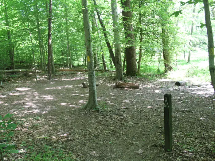
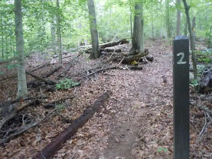
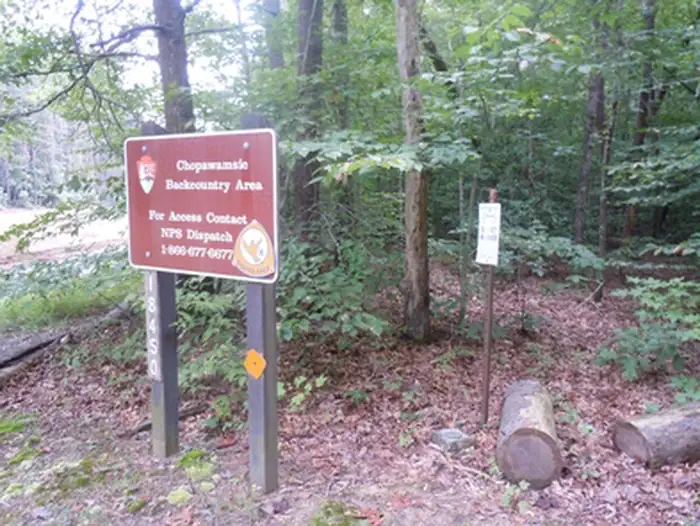
Overview Looking for some peace and quiet? Want to get back to nature, listen to the sounds of the nocturnal world, or simplify your life? Then come experience primitive camping at Prince William Forest Park’s Chopawamsic Backcountry Area. Chopawamsic (chop-uh-WAHM-zik), Algonquian for “small, divided river flats”, consists of about 400 acres (162 ha) of backcountry with a wilderness-like feel in a remote area of Prince William Forest Park. Within this tract of land, there are eight designated hike in campsites. Campsites are accessible from a two-mile (3.2 km) loop trail. Chopawamsic Backcountry Area limits camping to six people or one family unit per site. Chopawamsic is not designed for group camping, which is available at Turkey Run Ridge Group Campground . The northern side of Breckenridge Reservoir is accessible by trail from the Chopawamsic Backcountry Area for fishing. Recreation Chopawamsic Backcountry Area is located in Prince William Forest Park, which preserves approximately 15,000 acres (6070 ha) including a major portion of the Quantico Creek watershed. The area is the largest example of a piedmont forest ecosystem, the piedmont being the geographic plateau between the Appalachian Mountains and the Atlantic coast. The park represents one of the largest parcels of undeveloped land in the area and is the National Park Service's third largest unit in Virginia. Various geological outcroppings, winding creeks, gently rolling slopes and man-made lakes make wonderful destinations for any adventurous visitor. The park is home to many animals including 46 species of mammals, 22 species of amphibians, 25 species of reptiles, more than 129 species of birds, 26 species of fish and an unknown number of invertebrates. More than 900 plant species exist in Prince William Forest Park, from the smallest wildflower to the tallest tree. From tree bark in winter, wildflowers in spring, canopy cover in summer and autumn colors in fall, Prince William Forest Park offers beautiful scenery year-round. Facilities This primitive backcountry camping area is open year-round barring inclement weather. There are 8 hike-in campsite spots located along a 2 mile (3.2 km) loop trail. Each spot contains a flat area for pitching a tent and a wooden post with the site number and is located a short distance off of the loop trail. There is a parking area at the start of the loop trail that has one vault toilet. Everything you carry with you when hiking to the sites must be carried out with you when you leave. Natural Features Chopawamsic Backcountry Area is located in Prince William Forest Park, which preserves approximately 15,000 acres (6070 ha) including a major portion of the Quantico Creek watershed. The area is the largest example of a piedmont forest ecosystem, the piedmont being the geographic plateau between the Appalachian Mountains and the Atlantic coast. The park represents one of the largest parcels of undeveloped land in the area and is the National Park Service's third largest unit in Virginia. Various geological outcroppings, winding creeks, gently rolling slopes and man-made lakes make wonderful destinations for any adventurous visitor. The park is home to many animals including 46 species of mammals, 22 species of amphibians, 25 species of reptiles, more than 129 species of birds, 26 species of fish and an unknown number of invertebrates. More than 900 plant species exist in Prince William Forest Park, from the smallest wildflower to the tallest tree. From tree bark in winter, wildflowers in spring, canopy cover in summer and autumn colors in fall, Prince William Forest Park offers beautiful scenery year-round. Nearby Attractions Prince William Forest Park is centrally located, with easy access to all of the attractions the Northern Virginia and Washington, D.C., area have to offer. From the park entrance, the National Museum of the Marine Corps and the main gate of the United States Marine Corps Base Quantico are just a mile (1.6 km) away. The park is located directly between historic Fredericksburg and Spotsylvania National Military Park and Manassas National Battlefield Park.
From the managing agency.
Is this site free?
No. this site charges a fee.
How do I get to this site?
this site is at 38.5588, -77.4069. We do not hold written directions for this one, so navigate to the coordinates.
Nearby
- Chopawamsic Backcountry Area0.0 mi
- Camp HappyLand (Cabin Camp 5)1.3 mi
- Camp Mawavi (Cabin Camp 2)1.6 mi
- TURKEY RUN RIDGE GROUP2.4 mi
- Turkey Run Ridge Group Campground2.4 mi
- Camp Orenda (Cabin Camp 3 Group)2.5 mi
- Cabin Camp 3 (Individual Cabins)2.5 mi
- Cabin Camp 32.6 mi
No other services within 50 mi on the record.
SourceSource data is agency published. Last synced September 19, 2026. Community reports and photos are submitted by travelers and are not verified by the agency.
