
SUMMIT SPRINGS GUARD STATION
USFS · Campground · Fee
Fast facts
- Cost
- Fee charged
- Managed by
- USFS
- Type
- Campground
- Reservations
- recreation.gov
- Phone
- 801-226-3564
- Nearest dump station
- Lily Lake Comfort Station · 56.4 mi
- Coordinates
- 40.8788, -109.7455
- Last verified
- September 19, 2026
About this place
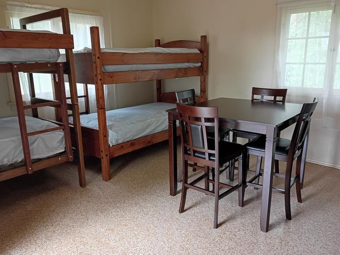
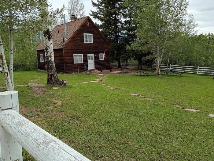
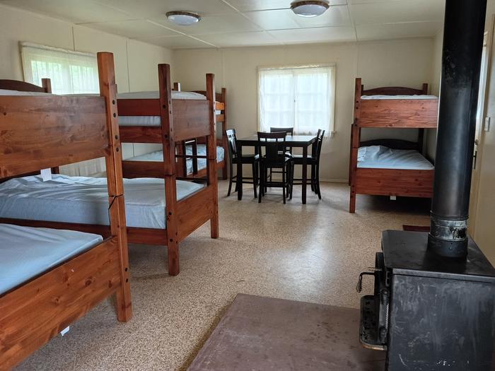
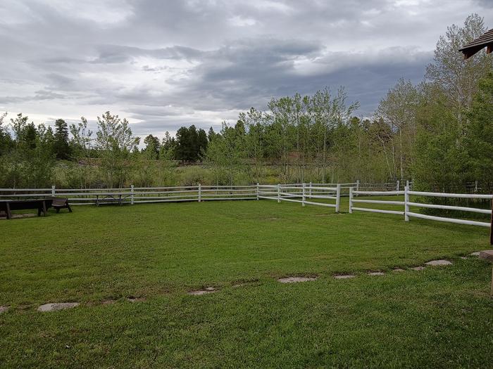
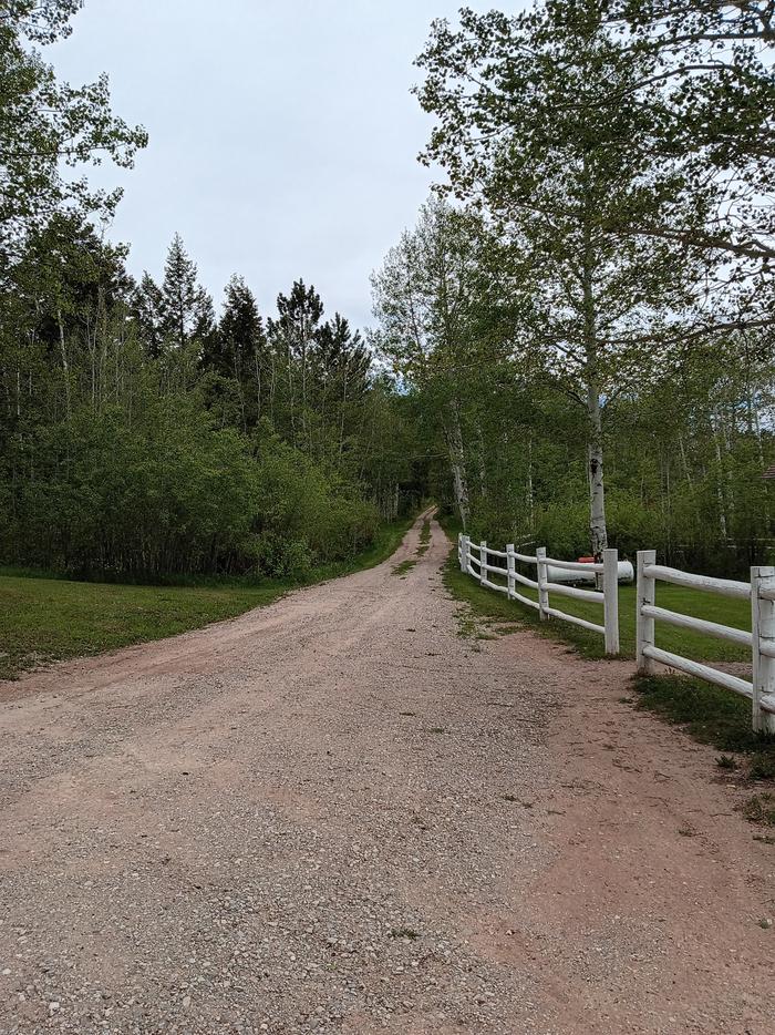
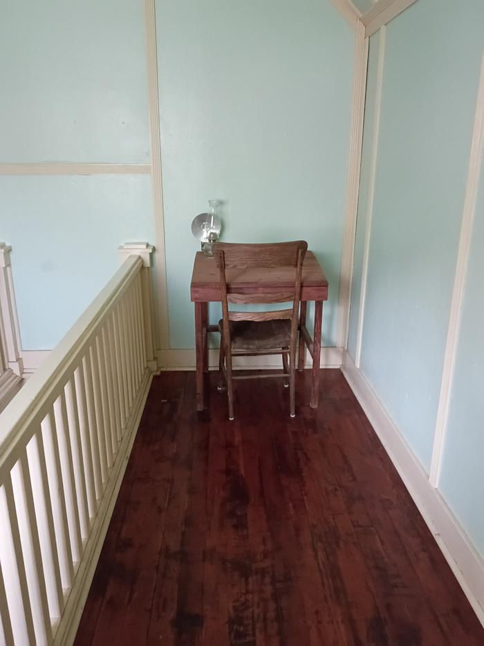
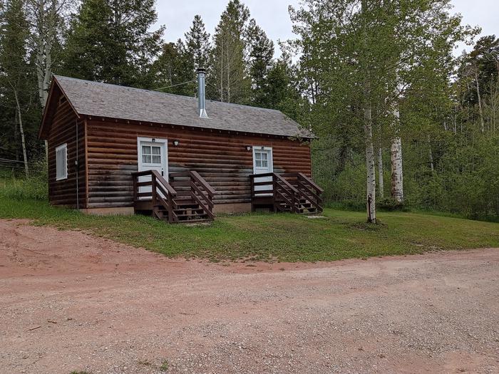
Overview Summit Springs Guard Station is located a couple of miles off the Sheep Creek Geological Loop southwest of Flaming Gorge in the high Uinta Mountain Range. The Civilian Conservation Corps built the complex in 1931 as part of Franklin D. Roosevelt's New Deal. It was one of 11 guard stations built in the area to serve as homes for rangers who patrolled the forest on horseback prior to the modern age of vehicles. The complex includes the guard station, bunkhouse, parking area, and fenced yard. It is listed on the National Register of Historic Places. The Ashley National Forest has chosen to rehabilitate and rent this guard station and bunkhouse to the public so that guests can enjoy a rustic experience similar to that of the first rangers. It is available from mid-May through mid-September. Recreation During the summer months, numerous hiking, biking, horse-riding, and ATV trails are found nearby. Fishing at Sheep Creek Bay, one of the "arms" of Flaming Gorge, is a short 12 mile drive. Facilities A cabin and bunkhouse are located within the complex. The cabin will sleep eight and has a furnished sitting area, kitchen stocked with pots and pans, and bathroom (two flush toilets and two showers). Propane is provided for the fridge, stove, water heater, and heater. The bunkhouse will sleep 12 on bunk beds with heat provided by a wood burning stove. There is a large area for up to four RVs or tents with access to a double vault toilet. There is a group gathering/eating area off the kitchen of the cabin with tables and fire ring. The maximum capacity for the complex is 40 people. Bring your own linens, dishes, silverware, cups, and glasses. Water is available from May 15 through September 15 depending upon weather. Limited power for lights only. Pets are not allowed in the cabin or bunkhouse. When booking the site, small groups (1-8 people) may book at a reduced rate, but will only have access to the cabin. The bunkhouse becomes available when booked for 9-40 people at the higher rate. Natural Features The facilities are located at Summit Springs, at an elevation of 8,278 ft. It is set in a rolling pasture, surrounded and interspersed with aspen and pine trees. Wildlife and summer flowers are abundant during the use season. Nearby Attractions Flaming Gorge Recreation Area is known not only for its beautiful red cliffs, but also for its world -class fishing for lake, brown, and rainbow trout. Boating, water skiing, canoeing, kayaking, swimming, and scuba diving are popular activities on the reservoirs. The dam is about 23 miles east of the complex. Sheep Creek Loop Scenic Backway (Geological Loop) is a 10 mile drive through spectacular canyon scenery and back in time. Millions of years of geologic history can be seen in a 20 minute drive, thanks to the Uinta Crest Fault and other rock features. The town of Manila is about 15 miles away, off the north end of Sheep Creek Loop where visitors can find grocery stores and other amenities.
From the USFS.Official page
Is SUMMIT SPRINGS GUARD STATION free?
No. SUMMIT SPRINGS GUARD STATION charges a fee. It is managed by the USFS. Sites are reservable through recreation.gov.
How do I get to SUMMIT SPRINGS GUARD STATION?
SUMMIT SPRINGS GUARD STATION is at 40.8788, -109.7455. We do not hold written directions for this one, so navigate to the coordinates.
Nearby
SourceData from the USFS. Last synced September 19, 2026. Community reports and photos are submitted by travelers and are not verified by the agency.
