
CARTER MILITARY TRAIL YURT
USFS · Campground · Fee
Fast facts
- Cost
- Fee charged
- Managed by
- USFS
- Type
- Campground
- Nearest dump station
- Lily Lake Comfort Station · 56.1 mi
- Coordinates
- 40.7908, -109.7600
- Last verified
- September 19, 2026


About this place
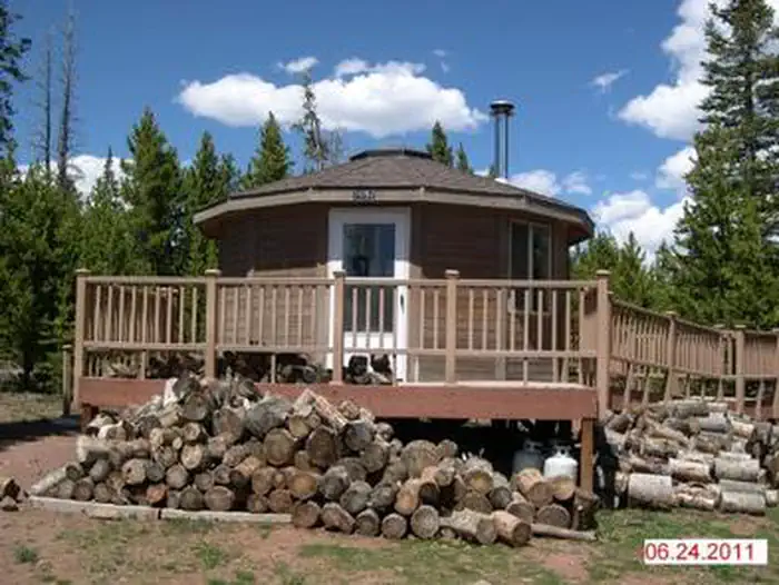
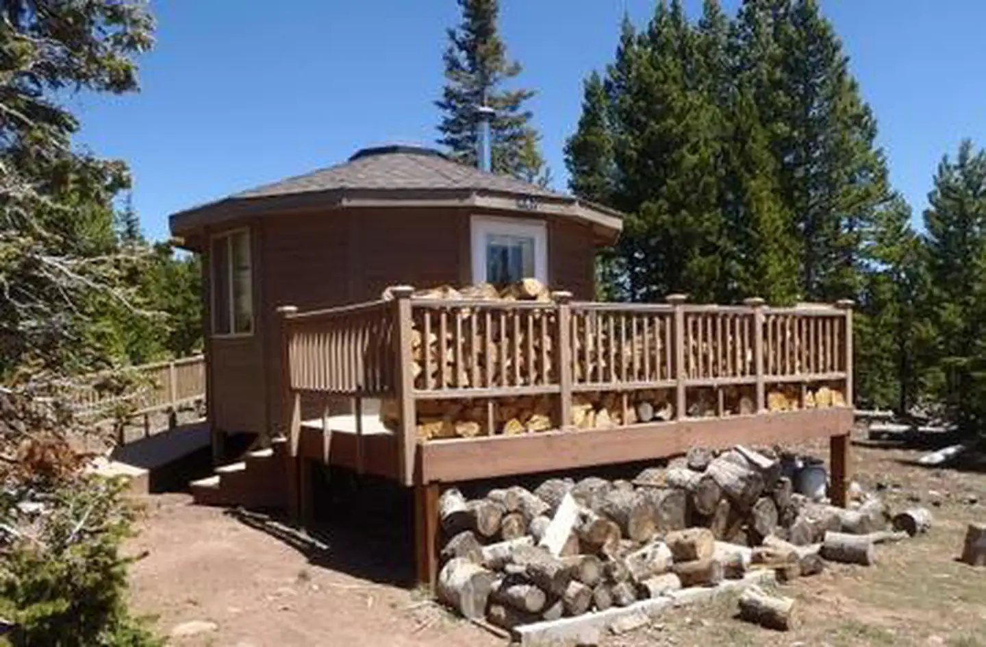
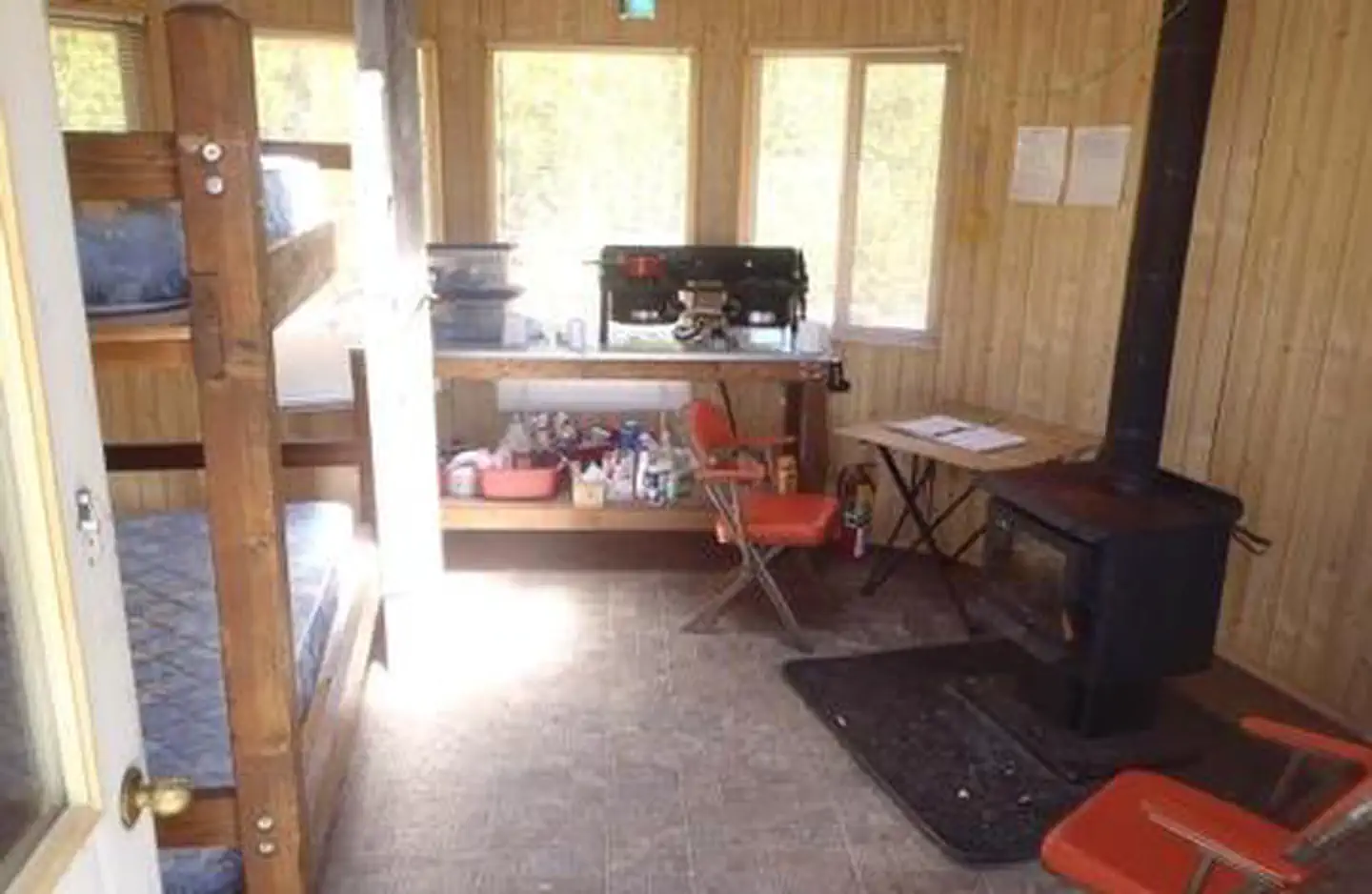
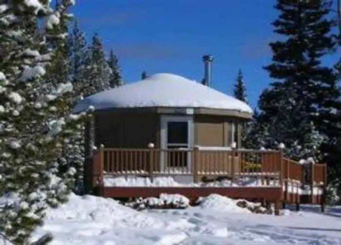
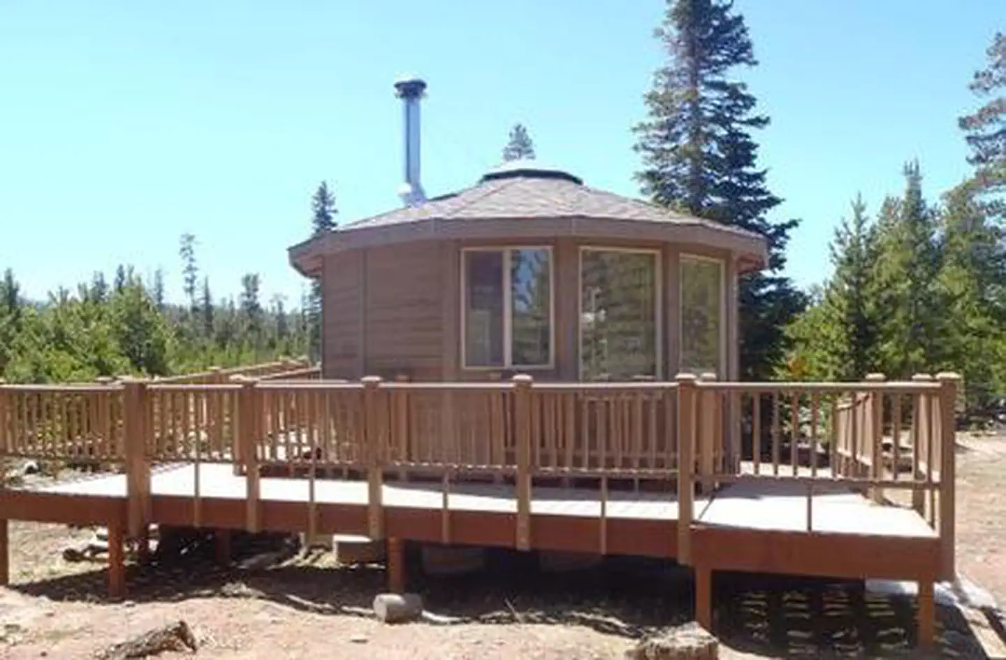
Overview Carter Military Trail Yurt provides primitive lodging during summer and fall months, and during the winter, it is open to the public as a warming station for snowmobilers. It is located in the Ashley National Forest, at roughly 9,800 feet in elevation. It is approximately 25 air miles northwest of Vernal, Utah, and is situated near the historic Carter Military Trail and the Highline Trail. The yurt can be accessed by vehicle, from Vernal, Utah. Guests are responsible for their own travel arrangements and safety and must bring their own amenities. Recreation The yurt provides access to numerous hiking, biking and off-road vehicle trails, including the Carter Military Trail and the Highline Trail. The Carter Military Trail served as a military supply road from the legendary Oregon Trail in southwestern Wyoming, over the Uinta Mountains and to the Uinta Basin. The route winds up and down hills, through marshes and disappears in some spots, but it remains a significant trail due to its historic and archaeological culture. Many lakes and reservoirs in the area are open to canoeing and fishing. Facilities The yurt is approximately 224 square-feet (less than 16 feet in diameter) and has limited amenities. Indoor plumbing, running water and electricity are not available. It can accommodate up to six people for overnight visits. Parking is available for a maximum of one RV/camp trailer and two vehicles. Tent camping is allowed outside the yurt. The yurt has one bunk bed with full size mattresses that will sleep two-four people. No linens, bedding or pillows are provided. The yurt is equipped with a heavy-duty propane case stove for cooking, a wood burning stove for heat and a folding table and chairs. A vault toilet is located outside. DUE TO COVID-19, COOKWARE AND SILVERWARE WILL NOT BE PROVIDED AT FACILITIES. GUESTS MUST BRING THEIR OWN SUPPLIES AND ARE ASKED TO NOT LEAVE ANY SUPPLIES AFTER STAY FOR PUBLIC HEALTH REASONS. The yurt remains locked; call the Vernal Ranger District office, at (435) 789-1181, three business days prior to arrival, to confirm the combination lock code. COMBINATION CODE REQUIRED to enter yurt. (Some combination locks used have off-set entry lines. If code is not working, try off-setting entry line). One portable propane Coleman lantern is provided but guests must bring extra propane canisters and their own mantles. The Forest Service provides propane for the stove. The tanks are located outside, beneath the deck and guests must activate the tanks upon arrival and deactivate them upon departure. Natural Features The yurt is situated on a scenic plateau, high in the Uinta Moutains of northeastern Utah. A mixed pine forest covers the area, offering limited shade. Wildlife and summer wildflowers are abundant. The Ashley-Karst National Geologic Recreation Area offers dramatic canyons, densely forested backcountry areas, and vast networks of caves. The Red Cloud Loop Scenic Backway is nearby, meandering through miles of aspen groves, open meadows and lodgepole pine forests. Petroglyphs and historic sites dot the area. Contact Info For facility specific information, please call (435) 789-1181. Nearby Attractions Numerous scenic driving routes on maintained dirt roads crisscross the area, providing miles of trails for off-road vehicles enthusiasts, hikers and mountain bikers. Trails lead to Long Park, Oaks Park and East Park reservoirs, Hacking Lake, Red Lake and Lily Pad Lake, as well as overlooks, forests, meadows and historic sites. Flaming Gorge National Recreation Area is known not only for its beautiful red cliffs, but also for world-class fishing for lake, brown and rainbow trout. Boating, water skiing, jet skiing, canoeing, kayaking, swimming and scuba diving are popular activities on the reservoir.
From the USFS.
Is CARTER MILITARY TRAIL YURT free?
No. CARTER MILITARY TRAIL YURT charges a fee. It is managed by the USFS.
How do I get to CARTER MILITARY TRAIL YURT?
CARTER MILITARY TRAIL YURT is at 40.7908, -109.7600. We do not hold written directions for this one, so navigate to the coordinates.
Nearby
SourceData from the USFS. Last synced September 19, 2026. Community reports and photos are submitted by travelers and are not verified by the agency.
