
PONDEROSA PICNIC AREA
Campground · Fee not listed
Fast facts
- Cost
- Not listed. Check locally.
- Type
- Campground
- Phone
- 435-438-2436
- Coordinates
- 38.2589, -112.5014
- Last verified
- September 19, 2026
About this place
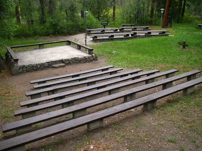
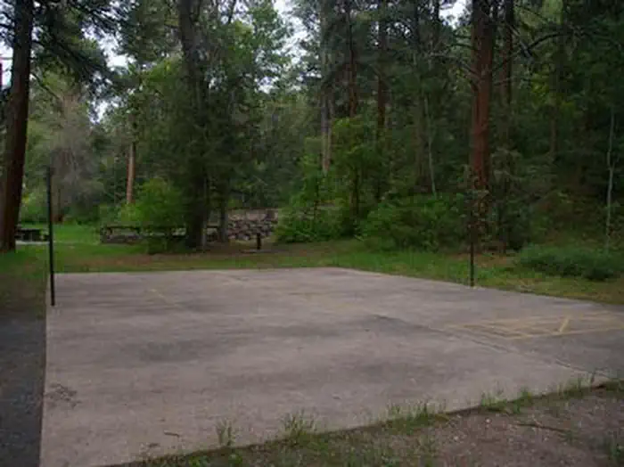
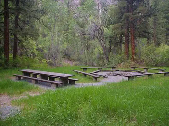
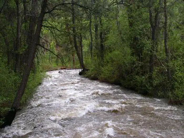
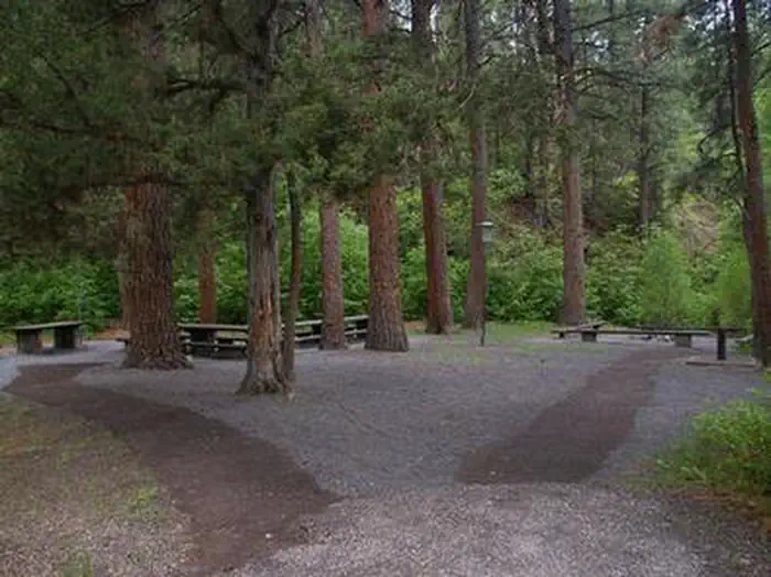
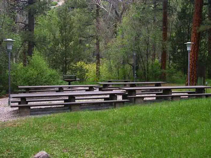
Overview Ponderosa Picnic Area is located along the Beaver Canyon Scenic Byway. It is next to the Beaver River, at an elevation of 7,000 feet. Visitors enjoy fishing and relaxing along the river. Recreation The Beaver River offers great rainbow and brook trout fishing. Hiking and biking trails begin a short drive east. Horseshoe pits and a volleyball court are available, but picnickers must bring their own equipment (horseshoes, net and a ball). Facilities The picnic area is a day-use site for large groups, making it a perfect place for family reunions and church outings. Site 1, called East, can accommodate up to 120 people, while site 2, called West, can accommodate up to 80 people. Reservations can be made for either individual sites or the whole area at once. Each site contains tables, grills, campfire circles, electric lights. Vault toilets and drinking water are provided. An amphitheater with bench seating is also located on-site. Natural Features Towering ponderosa pines, cottonwoods, aspens and maples provide partial shade in the grassy, gently sloping picnicking site. Between the trees are scenic views of the canyon. Nearby Attractions Beaver Canyon Scenic Byway curves past the picnic area, offering 17 miles of scenic driving through the beautiful Tushar Mountains. Numerous lakes and streams throughout the area provide fishing, boating and canoeing opportunities.
From the managing agency.
Is PONDEROSA PICNIC AREA free?
We do not have a fee on record for PONDEROSA PICNIC AREA. Confirm the cost locally before you go.
How do I get to PONDEROSA PICNIC AREA?
PONDEROSA PICNIC AREA is at 38.2589, -112.5014. We do not hold written directions for this one, so navigate to the coordinates.
Nearby
- Little Reservoir Campround0.7 mi
- LITTLE RESERVOIR CAMPGROUND0.7 mi
- Little Reservoir - Recreation Site0.7 mi
- Mahogany Cove - Recreation Site1.1 mi
- MAHOGANY COVE CAMPGROUND1.1 mi
- Little Cottonwood - Recreation Site2.2 mi
- LITTLE COTTONWOOD CAMPGROUND2.3 mi
- TUSHAR LAKESIDE CAMPGROUND2.3 mi
No other services within 50 mi on the record.
SourceSource data is agency published. Last synced September 19, 2026. Community reports and photos are submitted by travelers and are not verified by the agency.
