
LITTLE COTTONWOOD CAMPGROUND
Campground · Fee not listed
Fast facts
- Cost
- Not listed. Check locally.
- Type
- Campground
- Phone
- 435-438-2436
- Coordinates
- 38.2569, -112.5433
- Last verified
- September 19, 2026
About this place
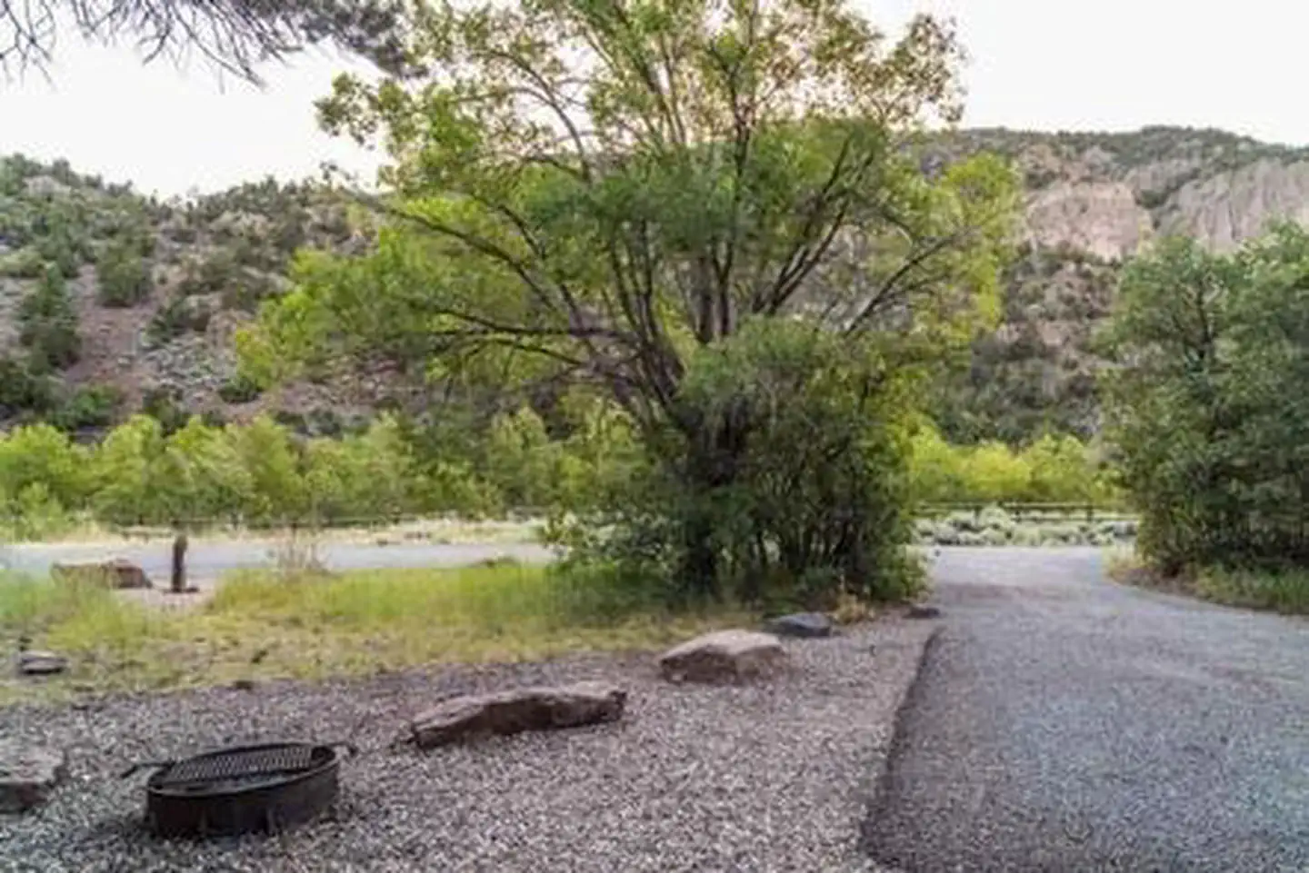
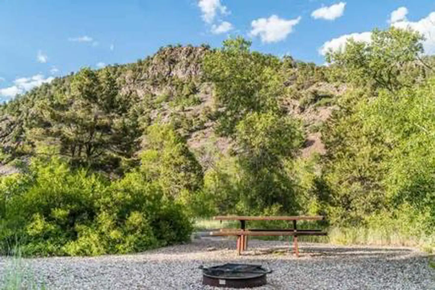
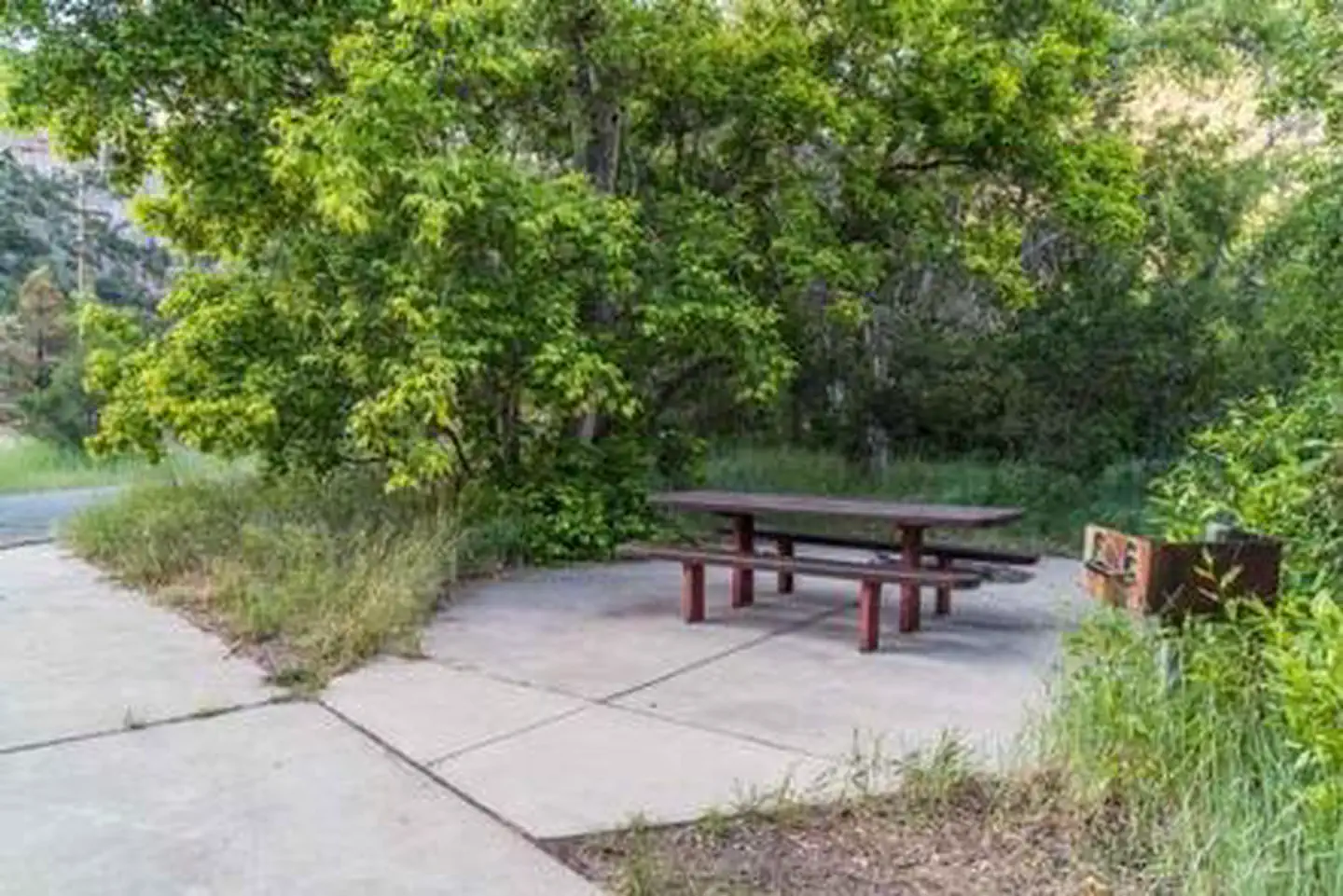
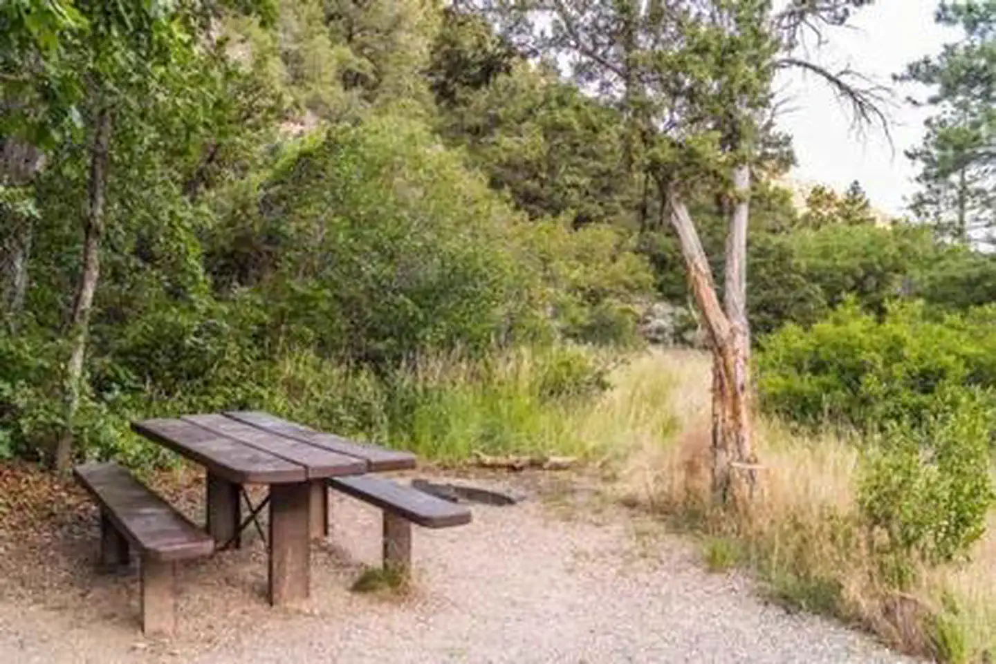
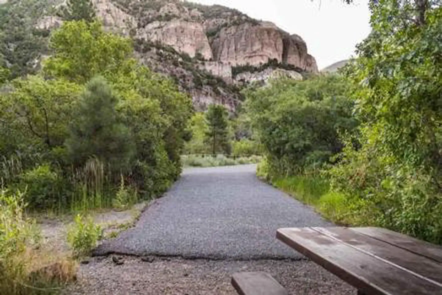
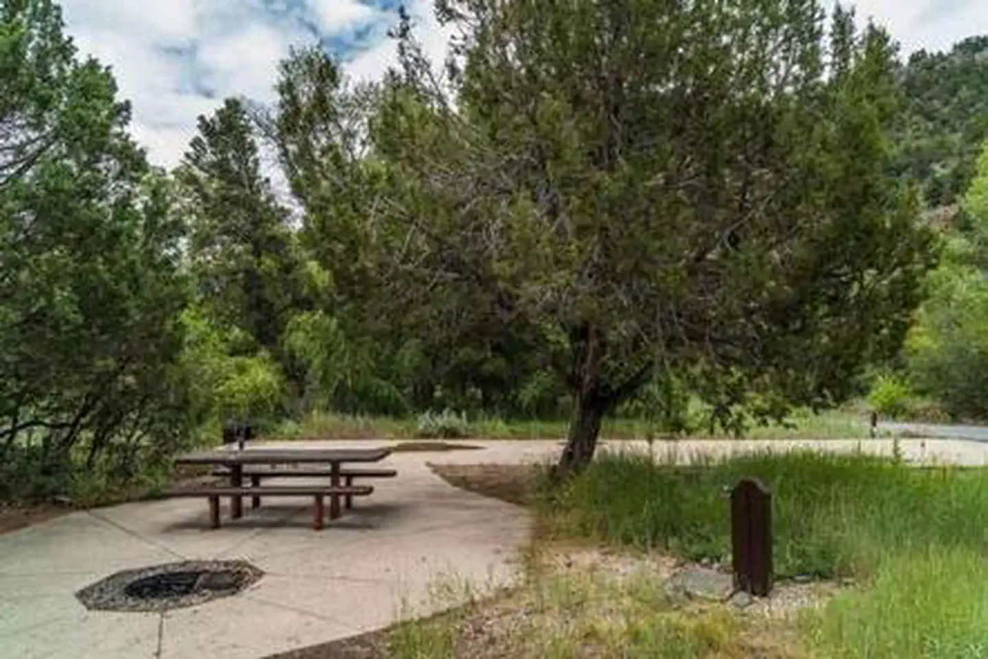
Overview The Little Cottonwood Campground is conveniently located off Utah's I-15, adjacent to the Beaver River just outside of the community of Beaver in the Fishlake National Forest. At 6,500 feet in elevation, this is a great place to enjoy the mountains where recreation opportunities include stream fishing, hiking, and hunting. Recreation Enjoy fishing in the Beaver River; an accessible fishing path is located within the campground. The Piute ATV Trail is nearby; however there is no access directly from the campground. Be prepared to trailer ATVs to the nearby trailheads for access. Nearby Cottonwood Trail is a horse and foot trail that is accessed through the lower part of Cottonwood Campground. This rugged trail will lead southwest for about the first two miles and then takes a sharp turn to the east through Horse Flat. Facilities The campground has fourteen single-family campsites, two of which are accessible units available for reservation. All campsites are paved and have picnic tables and grills. An accessible restroom with flush toilets serves the campground. Potable water is available during the summer season. RVs up to 40 feet in length can be accommodated; no hook-ups are available. Natural Features Common vegetation includes cottonwood, aspen, pinion, juniper and ponderosa pine trees. A majority of campsites at Little Cottonwood are well-shaded. The Fishlake National Forest offers spectacular vistas and opportunities to view wildlife in their natural habitat. Elk, deer, black bear, moose, cougar and mountain goats are some of the large animals that call the forest home.
From the managing agency.
Is LITTLE COTTONWOOD CAMPGROUND free?
We do not have a fee on record for LITTLE COTTONWOOD CAMPGROUND. Confirm the cost locally before you go.
How do I get to LITTLE COTTONWOOD CAMPGROUND?
LITTLE COTTONWOOD CAMPGROUND is at 38.2569, -112.5433. We do not hold written directions for this one, so navigate to the coordinates.
Nearby
- Little Cottonwood - Recreation Site0.2 mi
- PONDEROSA PICNIC AREA2.3 mi
- Little Reservoir Campround2.9 mi
- LITTLE RESERVOIR CAMPGROUND2.9 mi
- Little Reservoir - Recreation Site3.0 mi
- Mahogany Cove - Recreation Site3.2 mi
- MAHOGANY COVE CAMPGROUND3.2 mi
- TUSHAR LAKESIDE CAMPGROUND4.3 mi
No other services within 50 mi on the record.
SourceSource data is agency published. Last synced September 19, 2026. Community reports and photos are submitted by travelers and are not verified by the agency.
