
OLD FOLKS FLAT
Campground · Fee not listed
Fast facts
- Cost
- Not listed. Check locally.
- Type
- Campground
- Phone
- 435-384-2372
- Nearest dump station
- Soldier Creek Comfort Station · 42.9 mi
- Coordinates
- 39.5389, -111.1589
- Last verified
- September 19, 2026

About this place
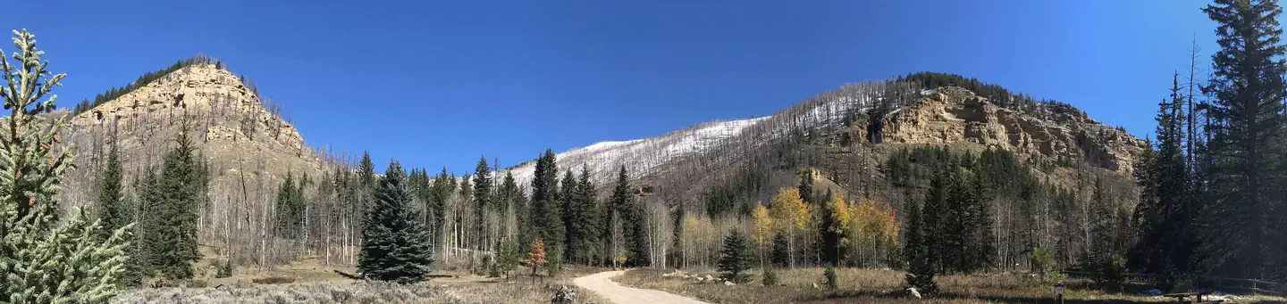
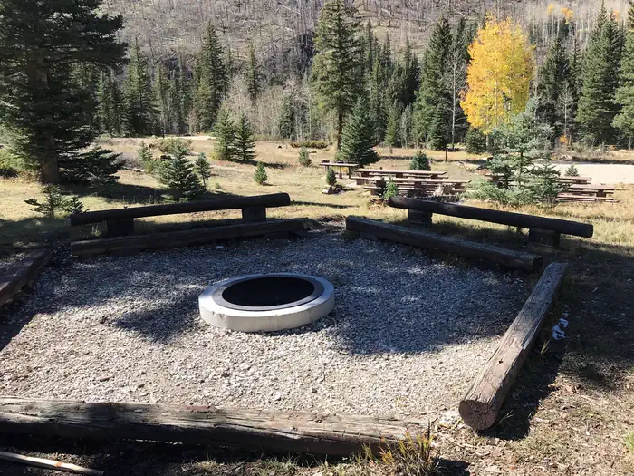
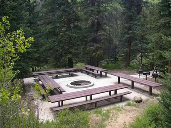
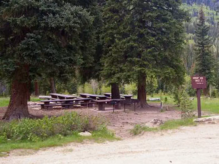
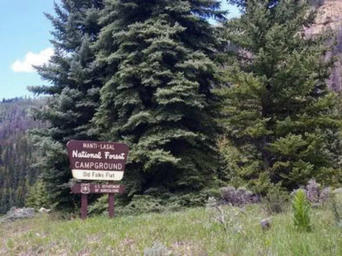
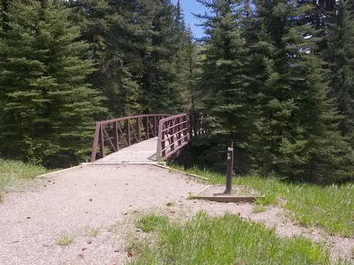
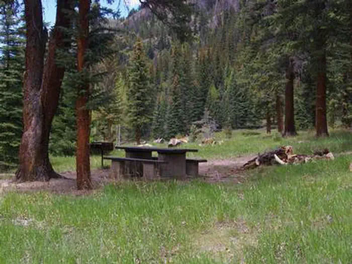
Overview Old Folks Flat Campground is nestled in beautiful Huntington Canyon along the Huntington Canyon National Scenic Byway on Utah Highway 31. It sits at an elevation of 8,600 feet. Many recreational activities are available, including hiking, biking and fishing. This small campground is accessible by paved road by all types of passenger vehicles. Recreation Popular activities include fishing, hunting, hiking, mountain biking, horseback riding, rock climbing and scenic driving. Nearby Huntington Creek is a Blue Ribbon fishery, offering high-quality fishing for brown, cutthroat and rainbow trout. The 4-mile Left Fork of the Huntington National Recreation Trail is nearby and open to hikers and horseback riders. The 10-mile Fish Creek Trail, for hiking, biking and horseback riding, is also close by. Facilities This campground is primarily devoted to group sites, but eight single-family campsites are also available. The five group sites can accommodate up to 20, 50 or 60 people and multiple vehicles in adjacent parking areas. Sites are equipped with tables and and a campfire rings with grills. The facility has recently been upgraded with flush toilets and drinking water spigots, but electricity and garbage collection service is not available. Roads and parking spurs within the campground are gravel. Natural Features Large spruce trees and aspens cover the campground, offering partial shade. The canyon area has numerous lakes and streams, vibrant summer wildflowers, colorful fall foliage and abundant wildlife. Located just across W State Road 31 is Huntington Creek. Nearby Attractions The Huntington Canyon National Scenic Byway is part of the 86-mile Energy Loop. It offers stunning mountain and lake views as it tops 10,000 feet in elevation. The historic Stuart Guard Station Visitor Center is nearby, offering a glimpse of the 1930s life of a ranger and his family who once lived there. Exhibits of Civilian Conservation Corps projects and original equipment are also on display. Area information is available there as well. The Bridges Campground, Little Rock Campground, and Huntington Creek are also close by.
From the managing agency.
Is OLD FOLKS FLAT free?
We do not have a fee on record for OLD FOLKS FLAT. Confirm the cost locally before you go.
How do I get to OLD FOLKS FLAT?
OLD FOLKS FLAT is at 39.5389, -111.1589. We do not hold written directions for this one, so navigate to the coordinates.
Nearby
SourceSource data is agency published. Last synced September 19, 2026. Community reports and photos are submitted by travelers and are not verified by the agency.
