
KINGS CREEK
Campground · Fee not listed
Fast facts
- Cost
- Not listed. Check locally.
- Type
- Campground
- Phone
- 801-226-3564
- Coordinates
- 37.6125, -112.2625
- Last verified
- September 19, 2026



About this place
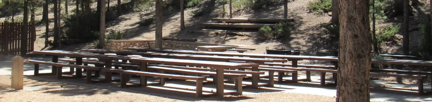
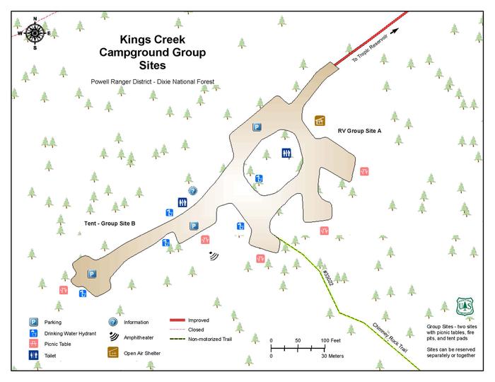
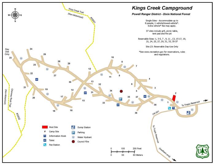
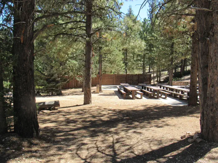
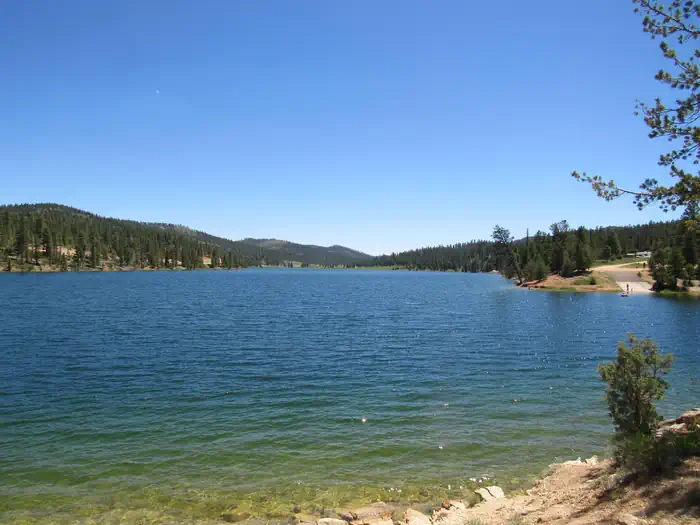
Overview Kings Creek Campground is located on the west side of Tropic Reservoir, high on the Colorado Plateau at an elevation of 8,000 feet. Visitors enjoy boating, fishing, hiking, and exploring local ATV trails. Recreation Kings Creek is a favorite of ATV enthusiasts because of its easy access to a large network of trails. The Fremont ATV trail passes within 1/4 mile of the campground and the Great Western Trail is nearby. Hiking and mountain biking trails are plentiful as well, with access from various points within the campground. Tropic Reservoir offers boating, canoeing and fishing for brook, rainbow, brown and cutthroat trout. A boat ramp is within 1/2-mile of the the campground. The East Fork Sevier River is nearby with good fishing opportunities. Facilities The campground offers two group sites which can be reserved separately or together. The group area is isolated from the main campground and provides privacy for gatherings and events. A large covered pavilion with picnic tables is also included with the group site to provide shade and cover from the weather. Flush toilets and drinking water are provided. The campground and reservoir are reached via a partially paved and well-maintained gravel road with good access for cars and RVs alike. Natural Features Tropic Reservoir is situated at the foot of beautifully forested mountains in Southern Utah. The campground is nestled among towering pines on a hillside above the reservoir. Nearby Attractions Bryce Canyon National Park is located 12 miles from the campground, with breathtaking scenery and excellent hiking opportunities. Kodachrome Basin State Park is ab one hour drive, with towering rock spires, a natural arch and great hiking trails.
From the managing agency.
Is KINGS CREEK free?
We do not have a fee on record for KINGS CREEK. Confirm the cost locally before you go.
How do I get to KINGS CREEK?
KINGS CREEK is at 37.6125, -112.2625. We do not hold written directions for this one, so navigate to the coordinates.
Nearby
- King Creek Group Area0.1 mi
- Kings Creek Campground0.8 mi
- Sunset Campground4.9 mi
- North Campground (UT)5.5 mi
- Sunset Campground (UT)5.5 mi
- North Campground5.5 mi
- Coyote Hollow Equestrian Campground7.2 mi
- PODUNK GUARD STATION8.8 mi
No other services within 50 mi on the record.
SourceSource data is agency published. Last synced September 19, 2026. Community reports and photos are submitted by travelers and are not verified by the agency.
