
Indian Creek Falls Group Site
BLM · Campground · Fee
Fast facts
- Cost
- Fee charged
- Managed by
- BLM
- Type
- Campground
- Phone
- 435-587-1500
- Coordinates
- 38.2054, -109.6744
- Last verified
- September 19, 2026
About this place
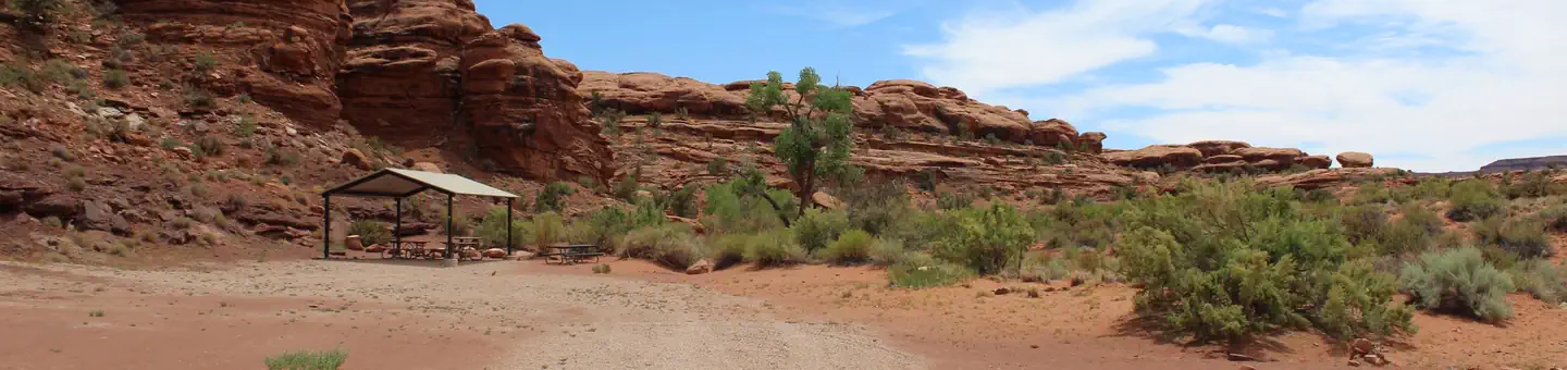
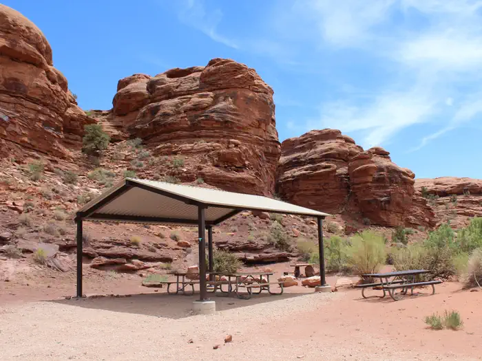
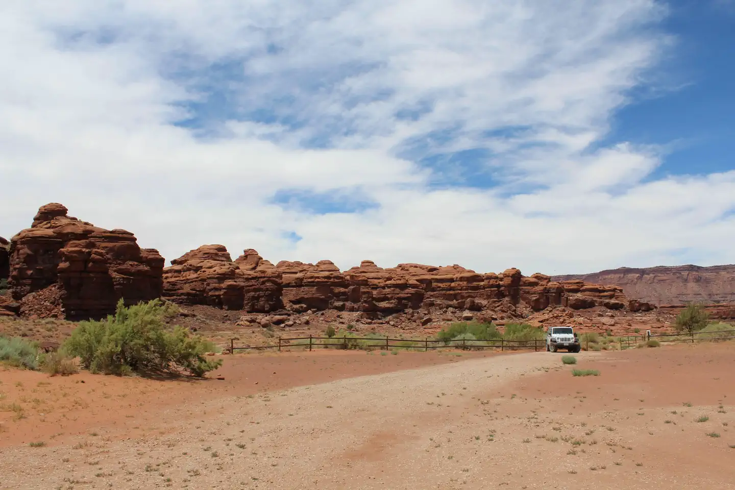
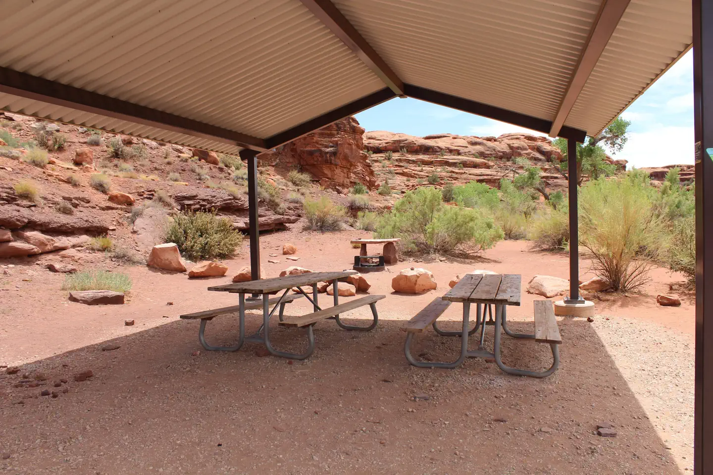
Overview The Indian Creek Falls Group Site is ideal for groups wishing to recreate in the Indian Creek Corridor or to be close to Canyonlands National Park. The site is situated in a small bowl just above the terrace of Indian Creek. Except for three Bureau of Land Management developed recreational facilities and the Dugout Ranch, the Indian Creek Corridor is generally primitive and undeveloped. The Indian Creek area is a popular filming area because of its classical western look. Both commercial advertisements and major motion pictures have been filmed in the area. Recreation The Indian Creek Corridor has gained international recognition for its extraordinary natural beauty and numerous recreational opportunities. Spectacular landscapes along with rich archeological resources provide visitors with an abundance of recreational opportunities. These opportunities include: hiking, biking, cultural resource viewing, camping, off-highway vehicle (OHV) use, rock climbing, horseback riding, wildlife viewing, sightseeing and scenic photography. These features attract visitors from around the world, who recreate both privately and by hiring commercial outfitters. Facilities The group site is located near Indian Creek Falls and features tent/trailer space, picnic tables, a fire ring, and a vault toilet. The site can hold approximately 10 vehicles, with a vehicle and trailer counting as two vehicles. There is no water. Natural Features Indian Creek consists of a broad, gently rolling valley bracketed by the sandstone cliffs of Harts Point to the northeast and Bridger Jack Mesa to the southwest. The valley is bisected by both the major thoroughfare of Highway 211 and Indian Creek itself. From Highway 211 interior of the valley is a classic western landscape with panoramic vistas, towering sandstone cliffs and spires, and rolling grasslands. Nearby Attractions Indian Creek Falls is close to the Needles District of Canyonlands National Park and Bears Ears National Moument (Indian Creek Unit).
From the BLM.
Is Indian Creek Falls Group Site free?
No. Indian Creek Falls Group Site charges a fee. It is managed by the BLM.
How do I get to Indian Creek Falls Group Site?
Indian Creek Falls Group Site is at 38.2054, -109.6744. We do not hold written directions for this one, so navigate to the coordinates.
Nearby
- Hamburger Rock Campground1.0 mi
- Creek Pasture Campground3.3 mi
- Creek Pasture Group Site3.3 mi
- Creek Pasture Campground3.6 mi
- Superbowl Campground5.0 mi
- Superbowl Group Site5.1 mi
- Canyonlands National Park Needles District Campground5.3 mi
- The Needles Campground8.0 mi
No other services within 50 mi on the record.
SourceData from the BLM. Last synced September 19, 2026. Community reports and photos are submitted by travelers and are not verified by the agency.
