
Creek Pasture Campground
BLM · Campground · Fee
Fast facts
- Cost
- Fee charged
- Managed by
- BLM
- Type
- Campground
- Coordinates
- 38.1661, -109.6318
- Last verified
- September 19, 2026
About this place
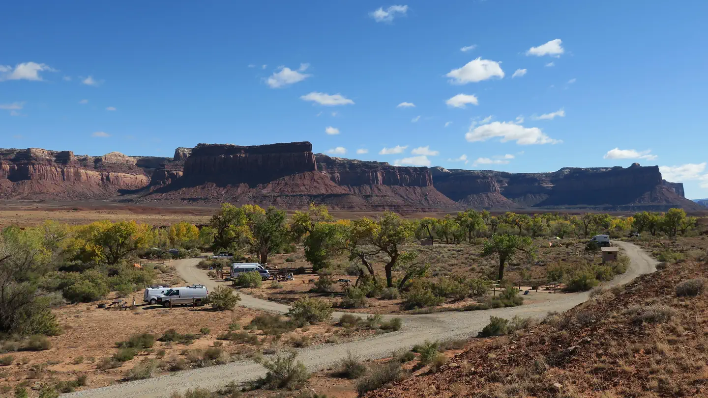
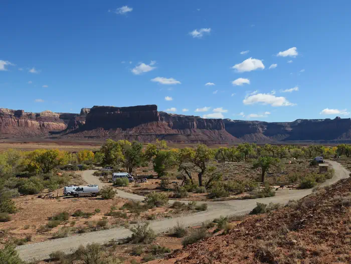
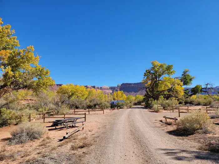
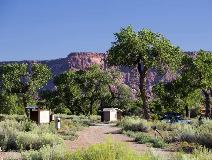
Overview Creek Pasture Campground is a good option for visitors wishing to recreate in the Indian Creek area of Bears Ears National Monument or be close to the Needles District of Canyonlands National Park. The campground is located north off the Needles Highway (accessed from Utah State Route 211), approximately 5 miles southeast of Canyonlands National Park and 15 miles northwest of Newspaper Rock. The campground provides 32 campsites that each feature a tent/trailer space, a picnic table, a fire ring, and vault toilets. Each campsite can hold 10 people and 2 vehicles. There is no drinking water at the campground. Reservations are not available for camping at this location. Individual campsites are available on a first come, first served basis upon arrival at the self-register kiosk at the site. The Creek Pasture Group Site is available for larger groups, and may be reserved here . The Indian Creek area is generally primitive and undeveloped, with few services. Recreation The Indian Creek area of Bears Ears National Monument has gained international recognition for its extraordinary natural beauty and recreational opportunities. The Indian Creek canyon opens to a broad valley rimmed by Wingate Sandstone cliffs known for world-class rock climbing. Prominent geologic features include Lavender Mesa, Bridger Jack Mesa, and North and South Six Shooter Peaks. This spectacular setting and rich archeological resources provide visitors with recreational opportunities such as rock climbing, camping, cultural resource viewing, scenic photography, and off-highway vehicle (OHV) touring on designated routes. Facilities Natural Features The campground is located along the banks of Indian Creek. Creek flow is intermittent, and except for spring or immediately after precipitation, the creek bed is typically dry. Cottonwood trees line the banks of the creek and provide shade at some campsites. A small sandstone cliff lines the west side of the campground. Nearby Attractions Newspaper Rock Needles District of Canyonlands National Park Contact Info For facility specific information, please call (435) 587-1500. Charges & Cancellations No refunds are available.
From the BLM.Official page
Is Creek Pasture Campground free?
No. Creek Pasture Campground charges a fee. It is managed by the BLM.
How do I get to Creek Pasture Campground?
Creek Pasture Campground is at 38.1661, -109.6318. We do not hold written directions for this one, so navigate to the coordinates.
Nearby
- Creek Pasture Group Site0.3 mi
- Creek Pasture Campground0.3 mi
- Superbowl Campground1.5 mi
- Superbowl Group Site1.6 mi
- Hamburger Rock Campground2.7 mi
- Indian Creek Falls Group Site3.6 mi
- Bridger Jack Mesa Designated Dispersed Camping6.2 mi
- Canyonlands National Park Needles District Campground7.0 mi
No other services within 50 mi on the record.
SourceData from the BLM. Last synced September 19, 2026. Community reports and photos are submitted by travelers and are not verified by the agency.
