
GOOSEBERRY RESERVOIR
Campground · Fee not listed
Fast facts
- Cost
- Not listed. Check locally.
- Type
- Campground
- Phone
- (435)283-4151
- Nearest dump station
- Soldier Creek Comfort Station · 33.2 mi
- Coordinates
- 39.7103, -111.2942
- Last verified
- September 19, 2026
About this place
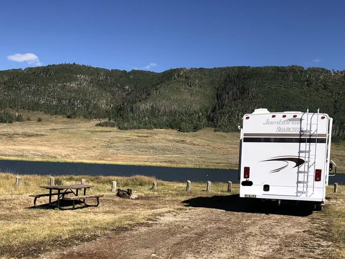
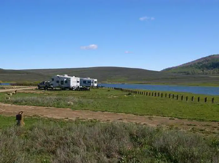
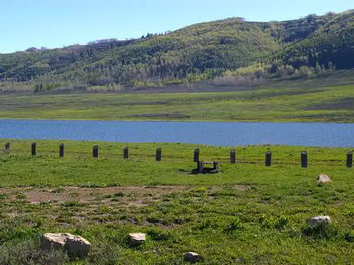
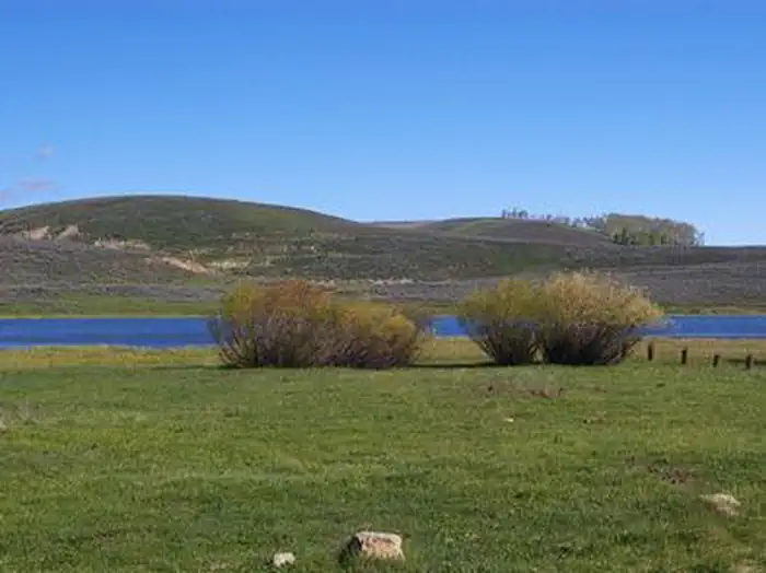
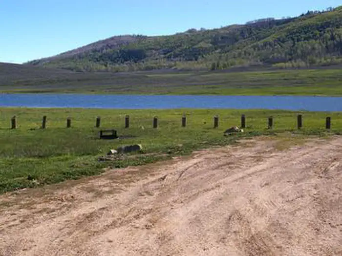
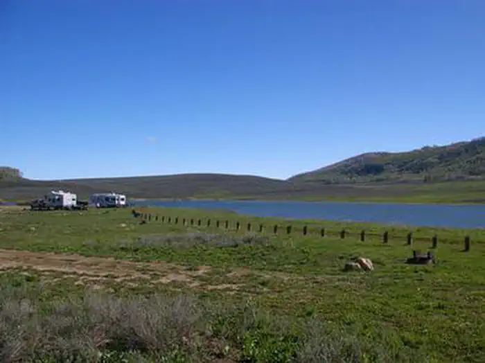
Overview Gooseberry Reservoir Campground is located in a scenic mountain valley in an open meadow next to Gooseberry Reservoir. It is situated at an elevation of 8,400 feet. Visitors enjoy canoeing and fishing on the small reservoir and exploring area trails. Recreation The reservoir offers good cutthroat and rainbow trout fishing, as well as canoeing. It is open to hand-powered watercraft only, and no boat ramp is available on the lake. The Great Western Trail runs next to the campground, offering excellent opportunities for hiking, biking and off-road vehicle riding. Mammoth Guard Station is located just one mile south. Facilities The campground contains several standard RV sites with long parking spurs that easily accommodate large RVs. Vault toilets are provided, but no water or garbage service is available. A well-maintained dirt road leads to the campground, providing relatively easy access for cars and RVs alike. Natural Features The surrounding mountains are dotted with aspens, fir trees and sagebrush, but the campground has no trees and no shade. Each site has a nice lake view. Grasses and summer wildflowers cover the valley.
From the managing agency.
Is GOOSEBERRY RESERVOIR free?
We do not have a fee on record for GOOSEBERRY RESERVOIR. Confirm the cost locally before you go.
How do I get to GOOSEBERRY RESERVOIR?
GOOSEBERRY RESERVOIR is at 39.7103, -111.2942. We do not hold written directions for this one, so navigate to the coordinates.
Nearby
SourceSource data is agency published. Last synced September 19, 2026. Community reports and photos are submitted by travelers and are not verified by the agency.
