
Fish Creek Campground
Campground · Fee not listed
Fast facts
- Cost
- Not listed. Check locally.
- Type
- Campground
- Nearest dump station
- Soldier Creek Comfort Station · 27.4 mi
- Coordinates
- 39.7747, -111.2019
- Last verified
- September 19, 2026
About this place
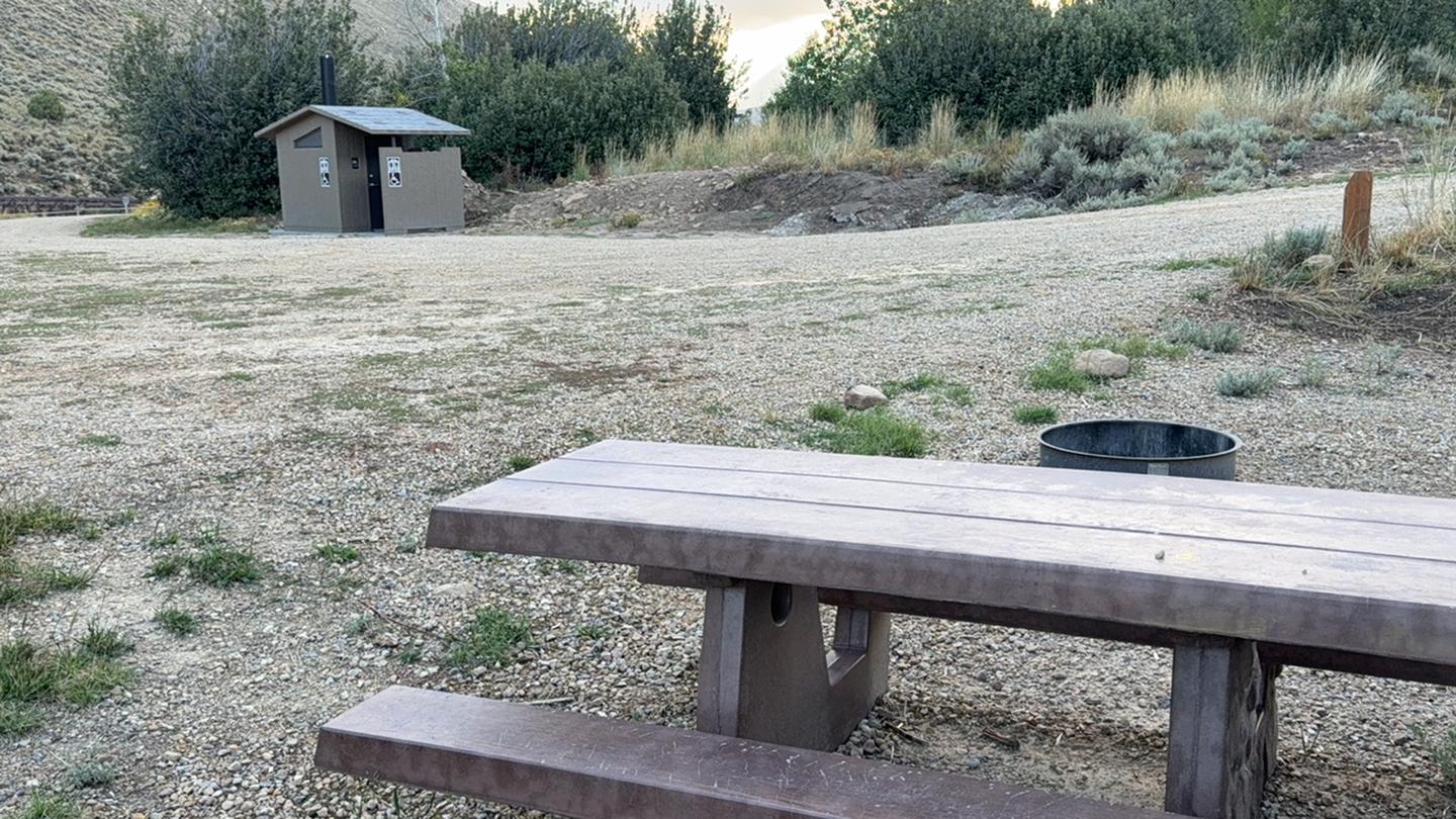
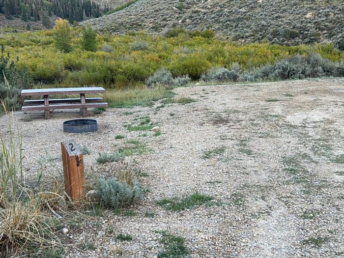
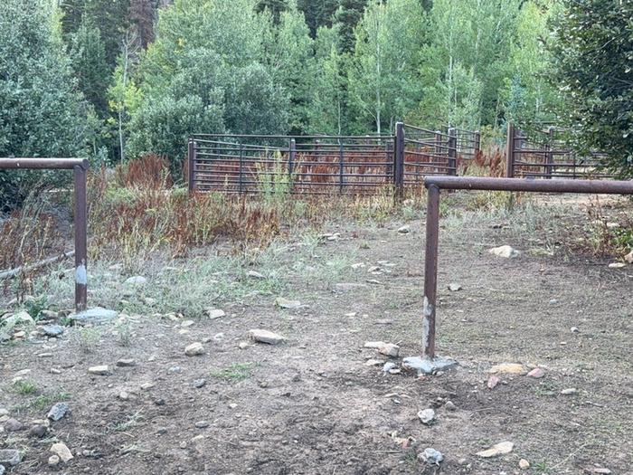
Overview Fish Creek Campground is nestled adjacent to Fish Creek and is the starting point for the 10-mile Fish Creek National Recreation Trail and is just a short distance from the popular Scofield Reservoir. Fish Creek Campground is surrounded by aspen trees. The campground is sought after by campers looking for solitude outside of a typical campground setting. Scan & Pay is available at this campground using the Recreation.gov mobile app (Android and iOS). This location is available on a first-come, first-served basis only. Visitors are required to physically arrive at the campground to purchase and claim a site. Once on-site, you can pay for your campsite(s) by scanning a QR code using the Recreation.gov mobile app. Download the free Recreation.gov mobile app on Android or iOS prior to your arrival as some remote areas have limited or no cellular service. Recreation There are many recreational activities available including hiking, biking, horseback riding, fishing and the Fish Creek UTV trail (60" wide) begins only a few miles away. The Fish Creek hiking trail has been designated as a National Recreation Trail. It is a gentle, walk along a small mountain stream, usually well maintained and easy to follow. Facilities This campground is a small remote horse friendly campground with six campsites. The site is in an open area with partial shade. You will find parking for horse trailers as well as parking for the Fish Creek National Recreation Trail which begins on-site. Amenities include a vaulted toilet, picnic tables, fire rings and a horse corral. Water and garbage service is not available. This is a "pack it in, pack it out" facility. Natural Features Fish Creek runs down a wide, gently sloping canyon from a point near Skyline Drive to the Scofield Reservoir. The canyon is popular with hunters because of the abundance of deer and elk in the area. Deer are everywhere, but the elk seem to prefer grazing in the large, open meadows high above the south bank of the creek. Take along a pair of binoculars and stop occasionally to scan these grassy meadows. If you are attentive you are almost certain to see at least a few of the magnificent animals. The creek runs from west to east, and you will notice a tremendous difference in vegetation between the north and south facing sides of the canyon. The north facing side is covered with aspens and conifers, interspaced with lush green meadows. The south facing side, on the other hand, is sage brush country with scarcely a tree to be found. Nearby Attractions Scofield State Park is situated 7,600 feet above sea level in the Manti-La Sal Mountains of the Wasatch Plateau. The 2,800-acre lake offers excellent boating and year-round fishing. During winter months, the area serves as a base for snowmobile and cross-country skiing in the spectacular mountains surrounding the park. Three state-owned facilities are available. Mountain View, located six miles north of the town of Scofield, offers a 34-unit campground, modern restrooms, hot showers, fish cleaning and sanitary disposal stations, group use areas, and boat launch ramp. Madsen Bay, located on the north end of the reservoir, is a popular area for groups and family reunions. Contact Info This location is unstaffed. To speak with our main office for general information, please call: (435) 384-2372.
From the managing agency.
Is Fish Creek Campground free?
We do not have a fee on record for Fish Creek Campground. Confirm the cost locally before you go.
How do I get to Fish Creek Campground?
Fish Creek Campground is at 39.7747, -111.2019. We do not hold written directions for this one, so navigate to the coordinates.
Nearby
SourceSource data is agency published. Last synced September 19, 2026. Community reports and photos are submitted by travelers and are not verified by the agency.
