
EGAN BASIN GUARD STATION
USFS · Campground · Fee
Fast facts
- Cost
- Fee charged
- Managed by
- USFS
- Type
- Campground
- Hours
- Open 24 hours/day
- Reservations
- recreation.gov
- Phone
- 208-847-0375
- Nearest dump station
- Lily Lake Comfort Station · 88.7 mi
- Coordinates
- 42.0536, -111.5708
- Last verified
- September 19, 2026


About this place
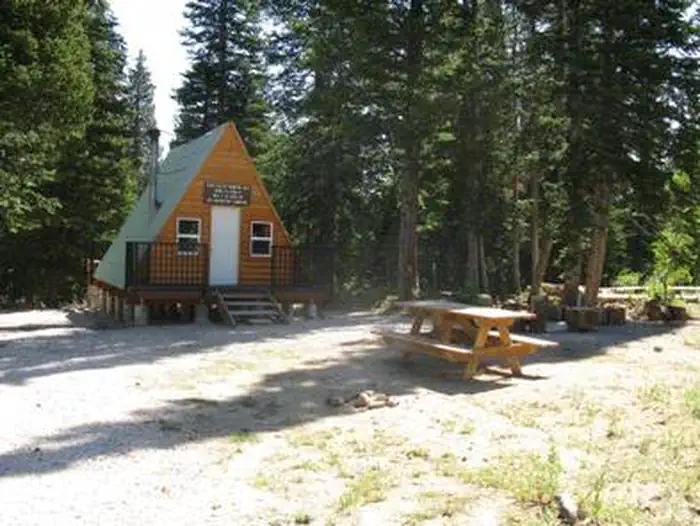
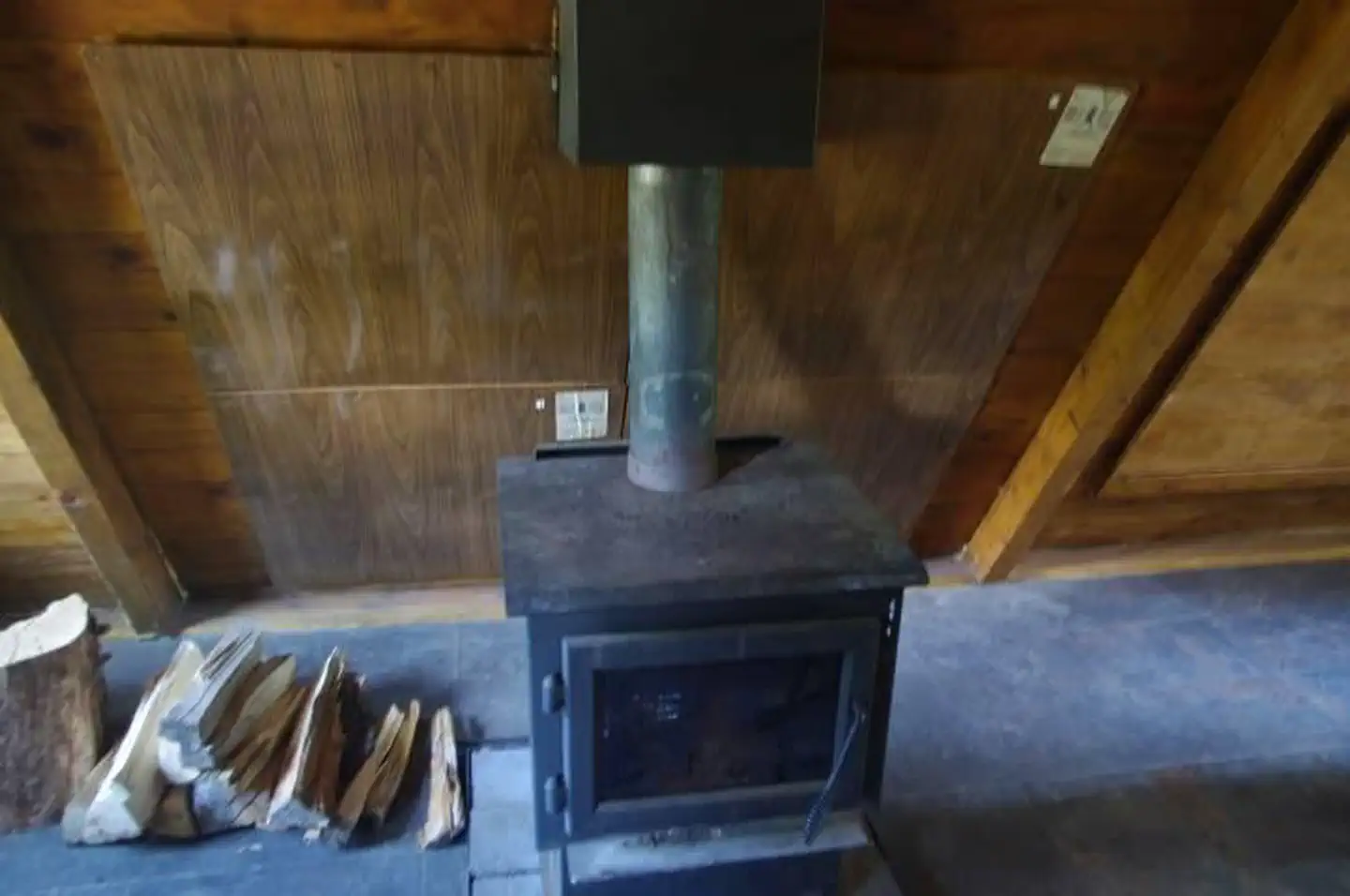
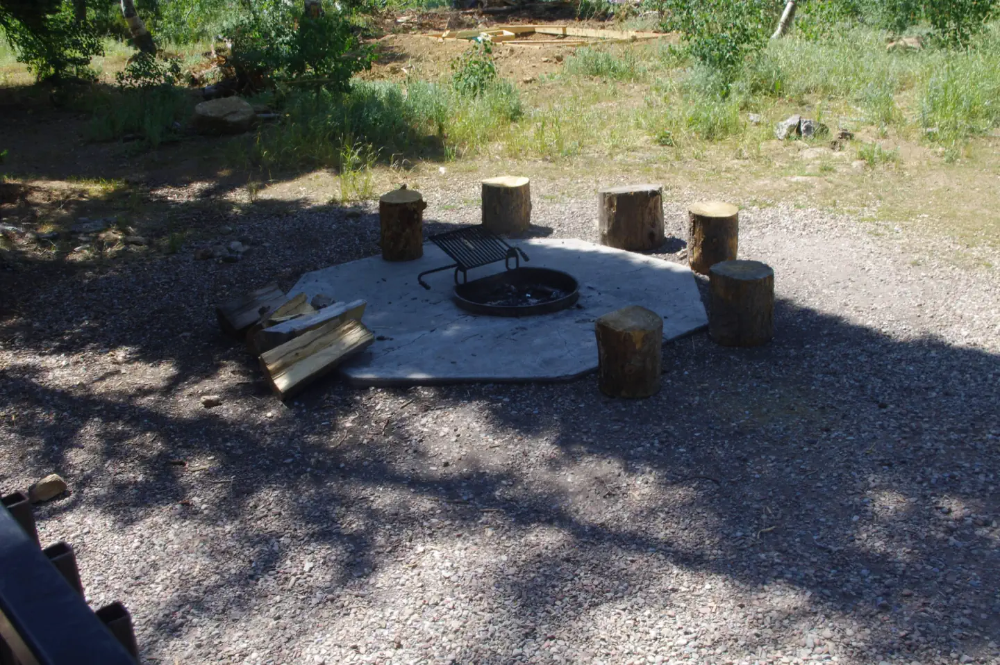
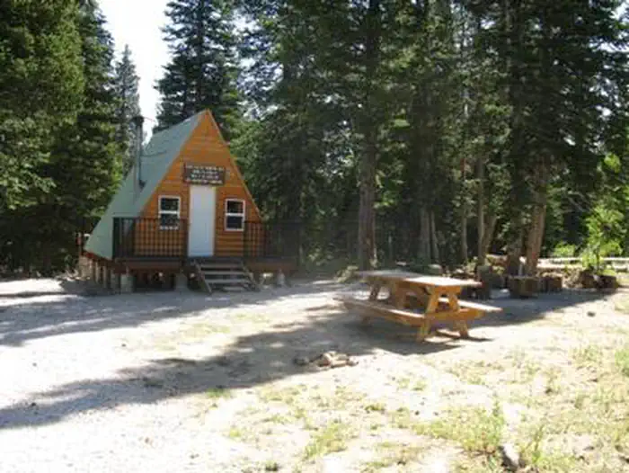
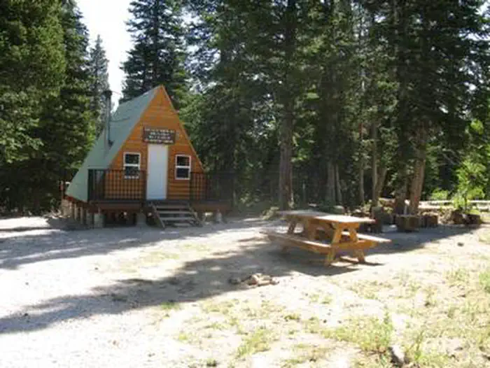
Overview Egan Basin Guard Station is a rustic retreat in the Montpelier Ranger District of the Caribou-Targhee National Forest of southeastern Idaho, near the Utah border. The Montpelier area is known for its abundance of year-round recreational opportunities. The guard station is accessible by SUV/4 wheel drive during warmer weather. Snow conditions may exist in the Fall and spring. The cabin is used as a warming hut during the winter months and is not reservable (December 1 to April 30). The cabin provides few amenities, so guests should be prepared to haul most of the gear and supplies they'll need to make their stay comfortable. Recreation Guests can enjoy nearby trails for hiking, mountain biking and off-road vehicles ( Idaho OHV safety message ). Winter sports include snowmobiling and cross-country skiing. Anglers can fish in nearby Beaver Creek. Hunting areas are located nearby. Facilities The guard station has a maximum capacity of 15 people. This is a single-room A-frame cabin with a table and chairs, two single beds and a sleeping loft. A wood stove is provided for heat and firewood may be available. A picnic table is just outside the cabin. An outhouse with vault toilet is located on-site. Water and electricity are not available. Guests must provide their own drinking water. A cook stove, light sources, cookware, kitchen utensils, bedding and emergency supplies are not provided. Guests must bring trash bags to pack out their garbage, and are expected to clean the cabin before leaving. Natural Features Egan Basin Guard Station is situated in an open meadow surrounded by mixed conifers and aspens. Wildflowers dot the landscape in the summer. The cabin sits at an elevation of 7,500 feet surrounded by the limestone and dolomite peaks of the Bear River Mountains. Large populations of deer, elk and moose inhabit this rugged backcountry. Pikas and marmots make their home here as well. Beavers are often spotted in the mountain streams.
From the USFS.Official page
Is EGAN BASIN GUARD STATION free?
No. EGAN BASIN GUARD STATION charges a fee. It is managed by the USFS. Sites are reservable through recreation.gov.
How do I get to EGAN BASIN GUARD STATION?
The Egan Basin Guard Station is located 31miles southwest of Montpelier, Idaho. Follow Hwy 89 south 17 miles to St. Charles, ID. At this point turn west on 200 north. Continue west 1.5 miles and turn left to Green Canyon Rd. Follow Green Canyon Road west to the Forest Boundary. At this point the road changes to Forest Road #411. Follow FR #411 west 8 miles to Forest Road # 415 intersection. At this intersection turn right and follow FR #415 west 5 miles to the guard station sign, turn south for 1/4 mile to the guard station. Maps are available upon request at the district office.
Nearby
SourceData from the USFS. Last synced September 19, 2026. Community reports and photos are submitted by travelers and are not verified by the agency.
