
PORCUPINE (ID)
Campground · Fee not listed
Fast facts
- Cost
- Not listed. Check locally.
- Type
- Campground
- Phone
- 541-351-1182
- Nearest dump station
- Lily Lake Comfort Station · 90.2 mi
- Coordinates
- 42.0950, -111.5194
- Last verified
- September 19, 2026
About this place
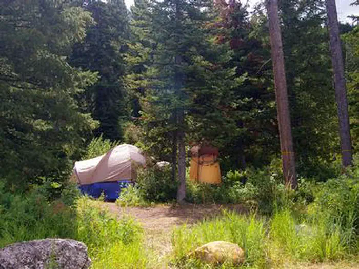
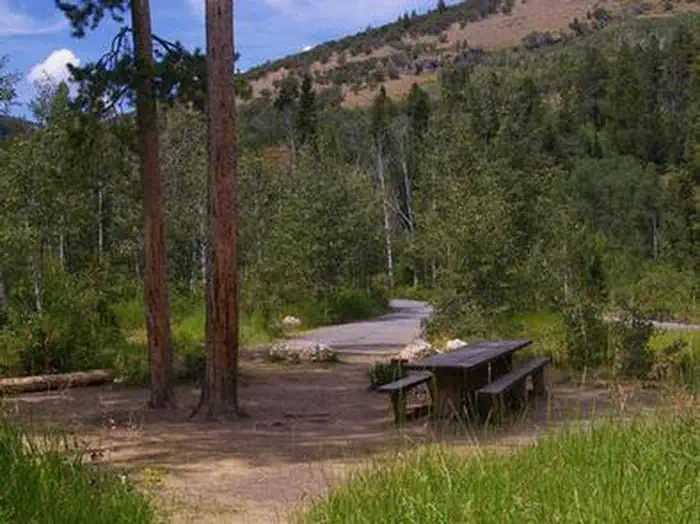
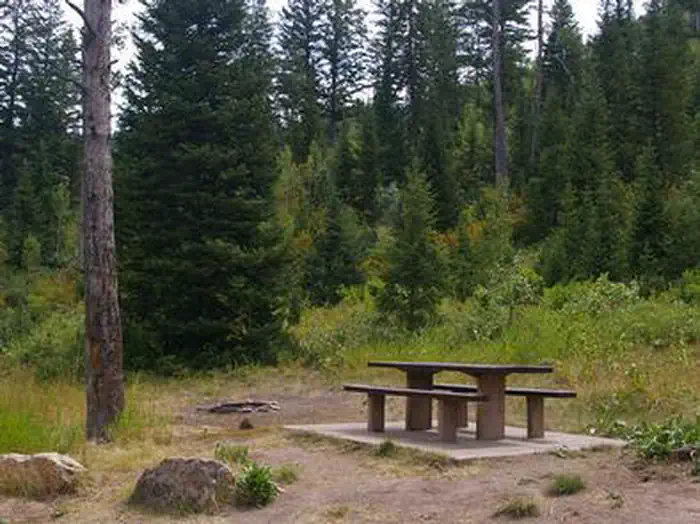
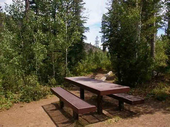
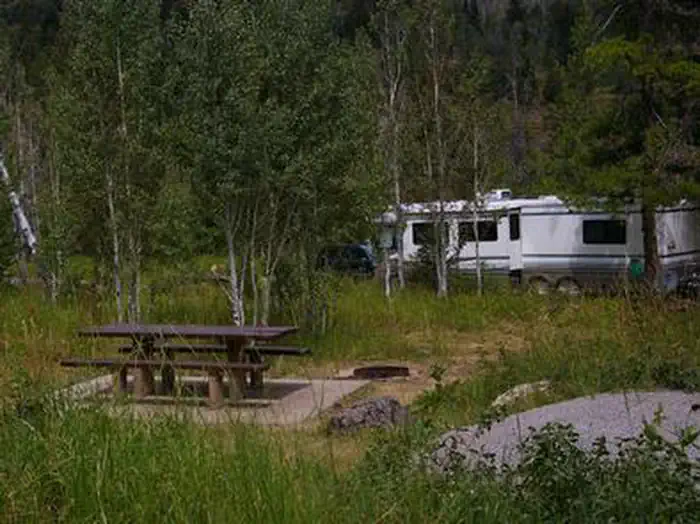
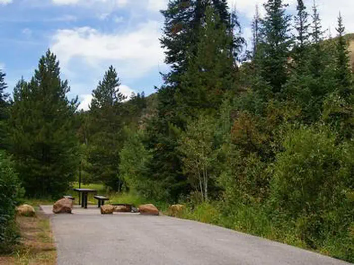
Overview Porcupine Campground is situated on St. Charles Creek in a scenic canyon in the rolling Idaho forests. The campground is also close to Bear Lake State Park and North Beach, offering visitors countless recreational opportunities in a serene forest setting. Recreation Nearby, the North Fork Trail and its associated trails access the Highline Trail #316. The Highline Trail is part of the National Trail System and is the Montpelier Ranger District's premier trail. It stretches 55 miles along the backbone of the Wasatch Mountains and is open to hikers, mountain bikers, horseback riders and motorcyclists, attracting trail users from around the world. The Idaho Department of Fish and Game manages the river fisheries, providing excellent fishing most of the year, including in St. Charles Creek. In-season big game hunting is also a popular activity. Facilities The campground offers six family sites, as well as one group site that can accommodate up to 20 people. Flush toilets and drinking water are provided. Roads to and within the campground are paved. Natural Features The Caribou-Targhee National Forest occupies more than 3 million acres and stretches across southeastern Idaho, from the Montana, Utah and Wyoming borders. The forest is also home to the Curlew National Grassland, and on the northern end of the forest the massive profile of the Teton Range can be seen. Pines and aspens forest the area, providing partial shade, and summer wildflowers dot the landscape. St. Charles Creek flows gently past the campground. Nearby Attractions Minnetonka Cave, one of only two developed caves in the Forest Service, is 2 miles from the campground. Guided cave tours are scheduled every 30 minutes daily from approximately early June until Labor Day. The Bear Lake National Wildlife Refuge is just north of Bear Lake, offering excellent bird watching. Bear Lake's Raspberry Days Festival occurs the first weekend in August every year, with a parade, fireworks, craft booths and a rodeo.
From the managing agency.
Is PORCUPINE (ID) free?
We do not have a fee on record for PORCUPINE (ID). Confirm the cost locally before you go.
How do I get to PORCUPINE (ID)?
PORCUPINE (ID) is at 42.0950, -111.5194. We do not hold written directions for this one, so navigate to the coordinates.
Nearby
SourceSource data is agency published. Last synced September 19, 2026. Community reports and photos are submitted by travelers and are not verified by the agency.
