
277 North Group Campground
Campground · Fee not listed
Fast facts
- Cost
- Not listed. Check locally.
- Type
- Campground
- Phone
- 830-775-7491
- Coordinates
- 29.5113, -100.9073
- Last verified
- September 19, 2026
About this place
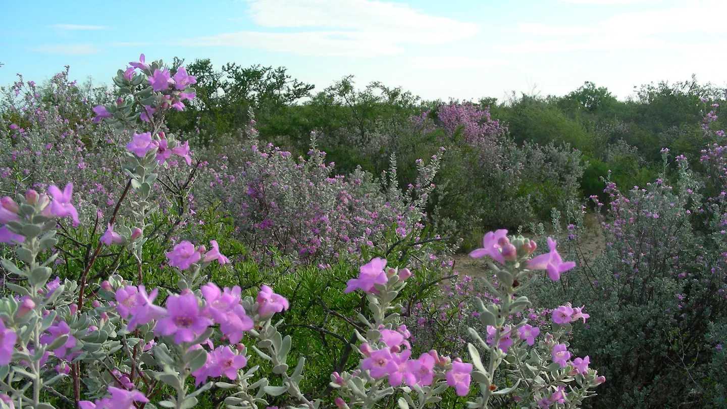
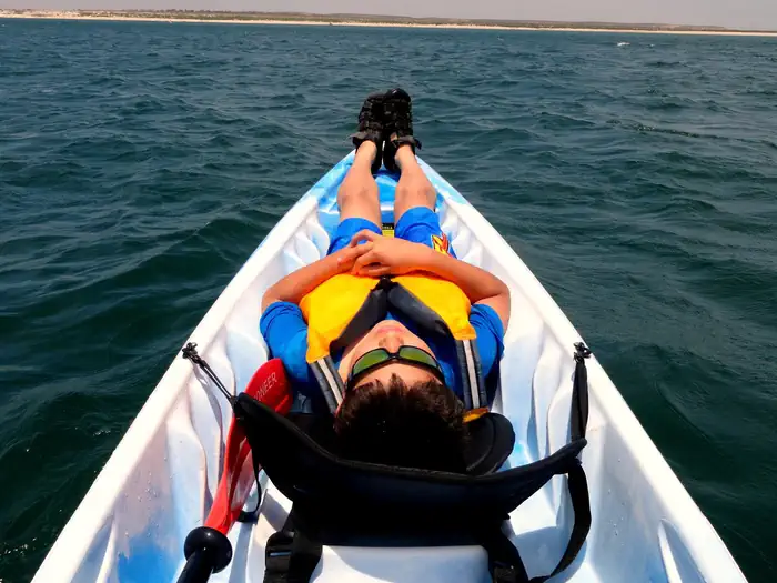
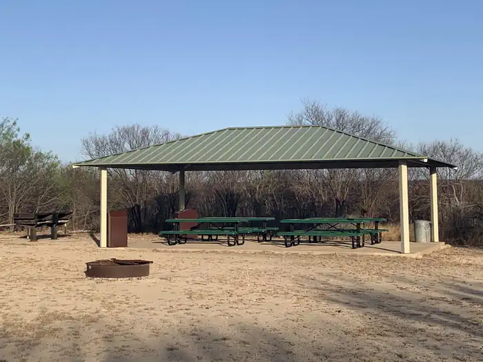
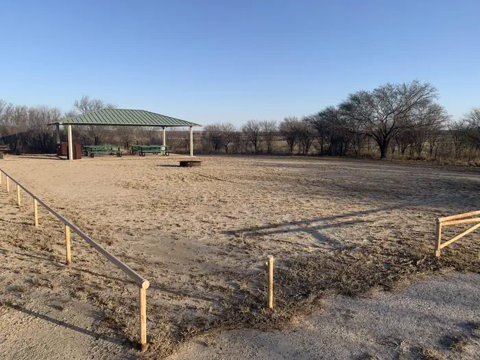
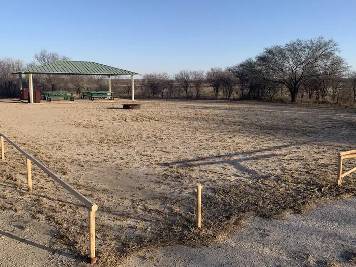
Overview Situated on the United States-Mexico border, Amistad National Recreation Area is known primarily for excellent year-round, water-based recreation including boating, fishing, swimming, scuba diving, and waterskiing. Amistad National Recreation Area also provides opportunities for picnicking, camping, and hunting. Amistad Dam created the reservoir at the confluence of the Rio Grande, Devils, and Pecos Rivers in 1969. In addition to excellent recreation, Amistad National Recreation Area is rich in archeology and rock art and contains a wide variety of plant and animal life. Amistad park headquarters is in Del Rio, Texas, population 35,000. Recreation Amistad National Recreation Area offers a diverse array of land- and water-based Outdoor Activities including fishing, swimming, boating, birding, hiking, picnicking, camping, and hunting. Visitors can experience expansive views, night skies, and a number of the area’s rock art sites. Examples of facilities that support these activities include boat ramps, picnic and camping areas, and hiking trails. Facilities The group campground offers a private primitive camping space for up to 35 people. The site has a large pavilion, vault toilet, campfire ring, pedestal grill and table. Bring your own water as water is not available at this site. Leashed pets are welcome. Natural Features Amistad National Recreation Area consists of 57,292 acres (23185 ha) of federally owned land and is one of the largest tracts of land available for hunting in southwest Texas. Three ecological zones and three rivers meet at Amistad National Recreation Area. Plant communities are determined by topography, soil type, and rainfall and support a wide variety of plant and animal life. Rugged canyons provide outstanding scenic vistas. A majority of Amistad National Recreation Area contains Lake Amistad, which is fed by the Pecos, Rio Grande, and Devils Rivers. Crystal clear stretches of river, natural springs, and fluctuating reservoir levels support a variety of aquatic plant and animal species. The recreation area has some of the best bass fishing in the American Southwest. Nearby Attractions Lake Amistad is a top quality fishing spot for largemouth, smallmouth and striped bass. Amistad National Recreation Area offers 12 boat ramps allowing access to Lake Amistad, however, due to low water levels only 4 ramps remain open. Boat rentals are available at Rough Canyon just 15 miles (24 km) from 277 North Campground. Park Approved Guides and Rentals offer activities such as guided fishing and kayak trips on the lake. Texas Parks and Wildlife maintains 3 state parks in the area-- Kickapoo Cavern State Park (63 miles/101 km NE off of Ranch Road 674), offering guided cave tours, Devils River State Natural Area (50 Miles/80 km NW off of St Hwy 277) offering paddling, swimming and fishing opportunities and Seminole Canyon State Park and Historic Site (41 miles/66 km NW off of Hwy 90), offering world class ancient rock art viewing. 277 North Group Campground is 11 miles (18 km) north of Del Rio, TX (pop. 35,0000). Del Rio enjoys many restauraunts, a movie theater and shopping.
From the managing agency.
Is 277 North Group Campground free?
We do not have a fee on record for 277 North Group Campground. Confirm the cost locally before you go.
How do I get to 277 North Group Campground?
277 North Group Campground is at 29.5113, -100.9073. We do not hold written directions for this one, so navigate to the coordinates.
Nearby
- 277 North Campground0.1 mi
- San Pedro Group Campground4.0 mi
- San Pedro Campground4.0 mi
- Rock Quarry Group Campsite8.0 mi
No other services within 50 mi on the record.
SourceSource data is agency published. Last synced September 19, 2026. Community reports and photos are submitted by travelers and are not verified by the agency.
