
ROARING RIVER PARK
Campground · Fee not listed
Fast facts
- Cost
- Not listed. Check locally.
- Type
- Campground
- Phone
- (931) 268-2540
- Coordinates
- 36.3792, -85.6311
- Last verified
- September 19, 2026

About this place
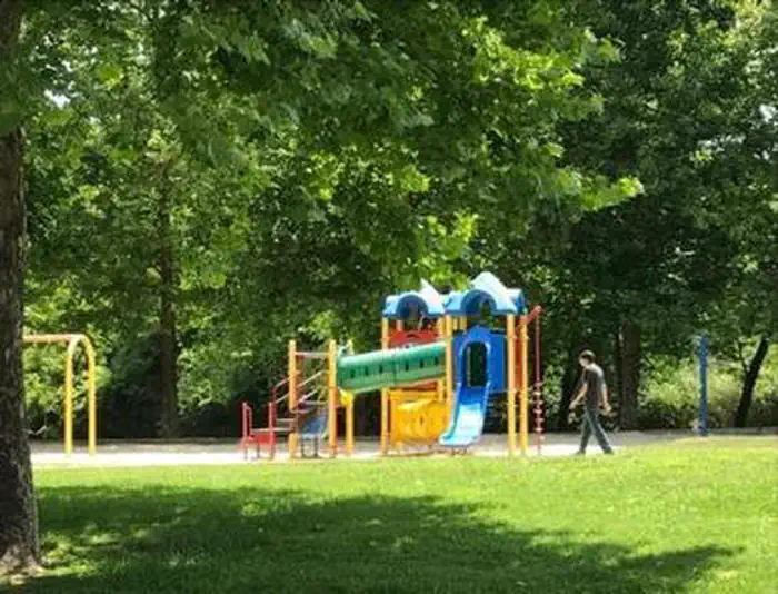
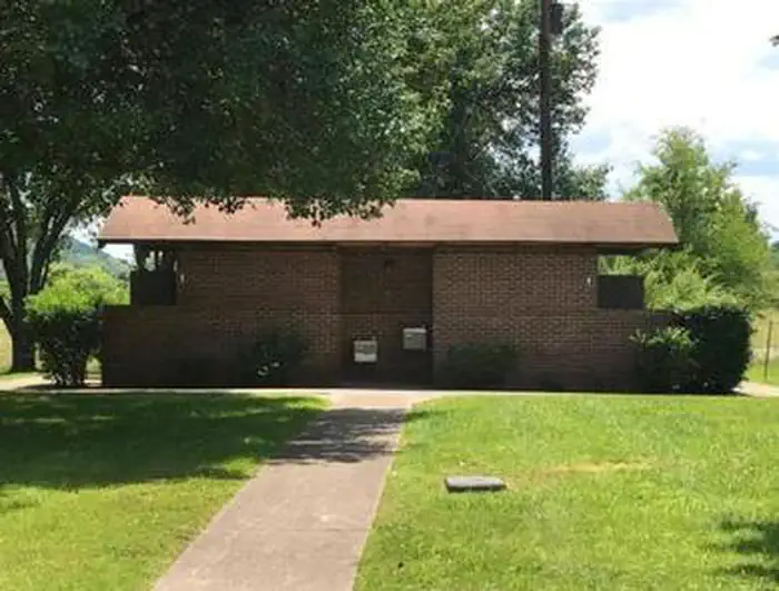
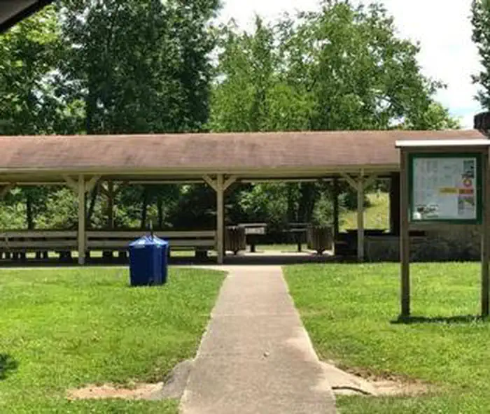
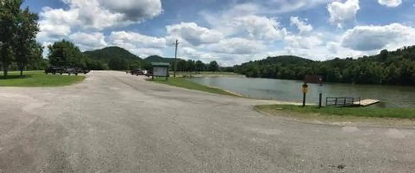
Overview Roaring River Park is located on Cordell Hull Lake on the Cumberland River System, near Gainesboro, TN. The lake itself was named after one of America's outstanding statesmen and one of Tennessee's finest volunteers. Hull was born in a log cabin in the foothills of the Cumberland Mountains. Many people enjoy boating, fishing, swimming, hunting and hiking in this wonderful natural area. Click here for a virtual tour of the Cordell Hull Lake facilities. Recreation The 12,000-acre lake stretches 72 miles upstream and has 381 miles of shoreline, offering recreational activities for just about any type of visitor. Anglers enjoy fishing for white bass, rockfish, largemouth bass, catfish, shad, and crappie. Boating, sailing, water skiing, and jet skiing are popular activities on the water. Facilities This wooded day-use area offers one large group shelter. Amenities include flush toilets, drinking water, a playground and boat ramp. Natural Features Cordell Hull Lake is situated among rolling hills wooded with a mixture of shady maple, hickory, oak, beech and chestnut trees. Summer temperatures range from the 60s to the 90s. Wildlife is abundant around the lake. Whitetail deer, wild turkeys, quail, squirrels, rabbits, and a wide variety of waterfowl are commonly seen throughout the area. Nearby Attractions The historic town of Granville, TN is a 20-minute drive from the campground. Visitors enjoy celebrating the town's Heritage Day annually in May. Events include the Uncle Jimmy Thompson Bluegrass Festival, antique car and tractor shows, and Confederate Civil War living history presentations.
From the managing agency.
Is ROARING RIVER PARK free?
We do not have a fee on record for ROARING RIVER PARK. Confirm the cost locally before you go.
How do I get to ROARING RIVER PARK?
ROARING RIVER PARK is at 36.3792, -85.6311. We do not hold written directions for this one, so navigate to the coordinates.
Nearby
- WARTRACE CK REC AREA8.2 mi
- SALT LICK CREEK10.6 mi
- DALE HOLLOW DAMSITE14.6 mi
- PLEASANT GROVE RECREATION AREA15.3 mi
- DALE HOLLOW LAKE - PRIMITIVE CAMPING15.5 mi
- DEFEATED CREEK PARK16.4 mi
- TAILWATER REC AREA18.4 mi
- WILLOW GROVE CAMPGROUND21.6 mi
No other services within 50 mi on the record.
SourceSource data is agency published. Last synced September 19, 2026. Community reports and photos are submitted by travelers and are not verified by the agency.
