
PLEASANT GROVE RECREATION AREA
Campground · Fee not listed
Fast facts
- Cost
- Not listed. Check locally.
- Type
- Campground
- Phone
- CONTACT PLEASANT GROVE DIRECTLY AT 931-243-3555. CONTACT THE RESOURCE MANAGER'S OFFICE AT 931-243-3136.
- Coordinates
- 36.5387, -85.4399
- Last verified
- September 19, 2026



About this place
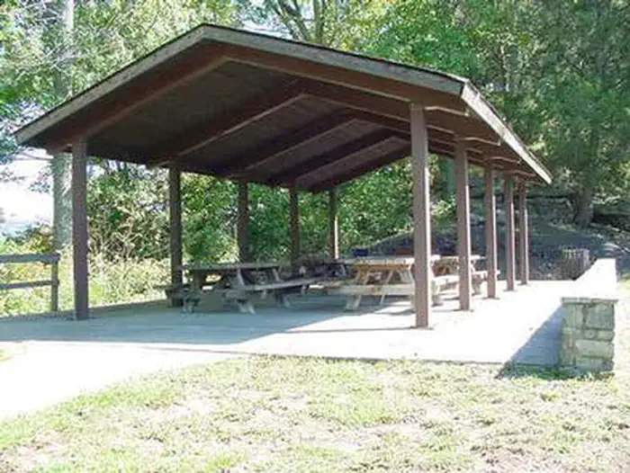
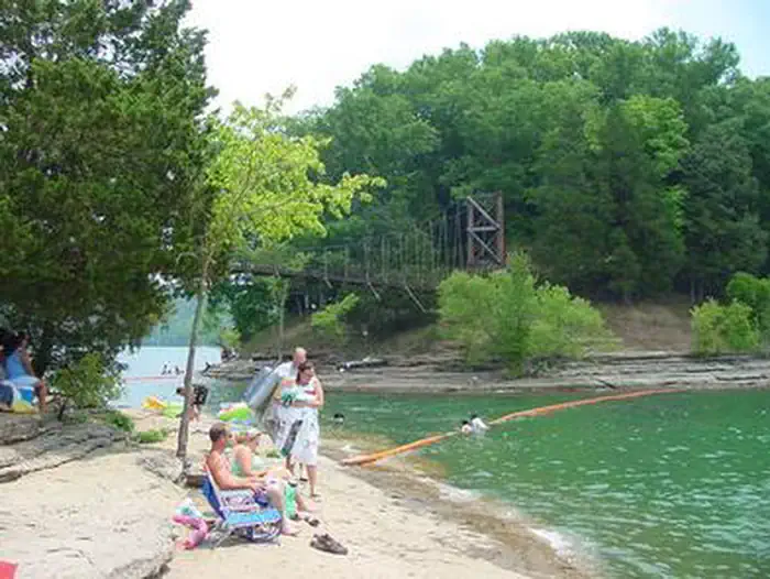
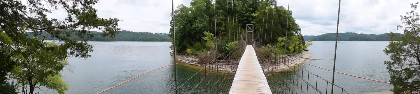
Overview Pleasant Grove Recreation Area is a day-use facility, located along the shores of Dale Hollow Lake in the hills of Tennessee. Recreation Dale Hollow is renowned for its fishing opportunities. In addition to yielding the world record smallmouth bass and being known as a trophy smallmouth lake, the Obey River below Dale Hollow Dam is also known for excellent rainbow and brown trout fishing. Boating and water skiing are also popular activities, and with 27,700 surface acres of water and 620 miles of shoreline, there is plenty of space for visitors to explore the lake. A boat launch is provided. Pleasant Grover also offers a picnic area with a reservable shelter, located on a beautiful peninsula with exceptional views of Dale Hollow Dam. Facilities Pleasant Grove Recreation Area offers a large group picnic shelter with five picnic tables and grills. Flush toilets and drinking water are also provided. A boat ramp provides convenient lake access. Natural Features Dale Hollow Dam and Lake was completed in 1943. Although the dam was built for flood control and power generation, it has now become a recreational oasis for more than 3 million visitors each year. The dam is located on the Obey River, about 3 miles east of Celina, Tennessee. Surrounded by a thick expanse of forest, the clear blue lake creates a stunning scenic backdrop for a variety of water and land recreational activities. In the late fall through early spring, the American Bald Eagle can be spotted flying overhead or perched on low-lying limbs. Dale Hollow hosts the second largest wintering eagle population in the states of Tennessee and Kentucky. Nearby Attractions The Dale Hollow National Fish Hatchery is adjacent to the dam. Operated by the U.S. Fish and Wildlife Service, the hatchery is the largest federal trout hatchery east of the Mississippi, producing 1.5 million trout annually. The hatchery is open to visitors daily. Charges & Cancellations Full rules and reservation policies for fees associated with changes and cancellations can be found at https://www.recreation.gov/rules-reservation-policies There is no fee to make a reservation. Customers who cancel a group day-use facility reservation (picnic shelter) less than 14 days before the arrival date will forfeit the total day-use fee. No-shows forfeit the entire day-use fee for a day-use facility. Applicable fees, including service/cancellation fees and change fees, are non-refundable and subject to change. No refunds for recreation use fees may be made at the campground.
From the managing agency.
Is PLEASANT GROVE RECREATION AREA free?
We do not have a fee on record for PLEASANT GROVE RECREATION AREA. Confirm the cost locally before you go.
How do I get to PLEASANT GROVE RECREATION AREA?
PLEASANT GROVE RECREATION AREA is at 36.5387, -85.4399. We do not hold written directions for this one, so navigate to the coordinates.
Nearby
- DALE HOLLOW DAMSITE0.9 mi
- DALE HOLLOW LAKE - PRIMITIVE CAMPING2.9 mi
- WILLOW GROVE CAMPGROUND6.4 mi
- LILLYDALE CAMPGROUND AND DAY USE8.9 mi
- OBEY RIVER PARK15.2 mi
- ROARING RIVER PARK15.3 mi
- WARTRACE CK REC AREA22.4 mi
- SALT LICK CREEK25.4 mi
No other services within 50 mi on the record.
SourceSource data is agency published. Last synced September 19, 2026. Community reports and photos are submitted by travelers and are not verified by the agency.
