
KENDALL CAMPGROUND
Campground · Fee not listed
Fast facts
- Cost
- Not listed. Check locally.
- Type
- Campground
- Phone
- 270-343-4660
- Coordinates
- 36.8721, -85.1457
- Last verified
- September 19, 2026


About this place
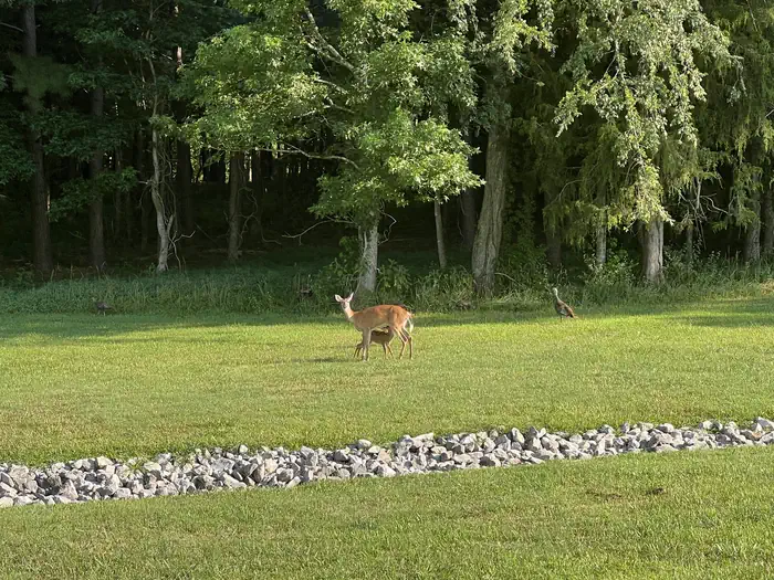
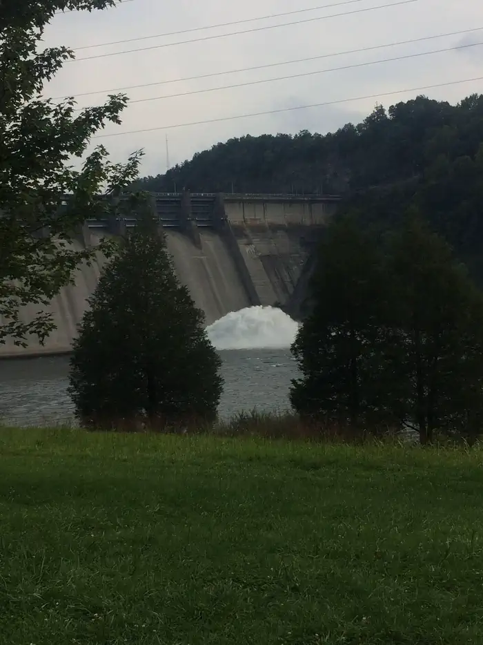
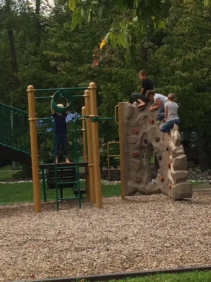
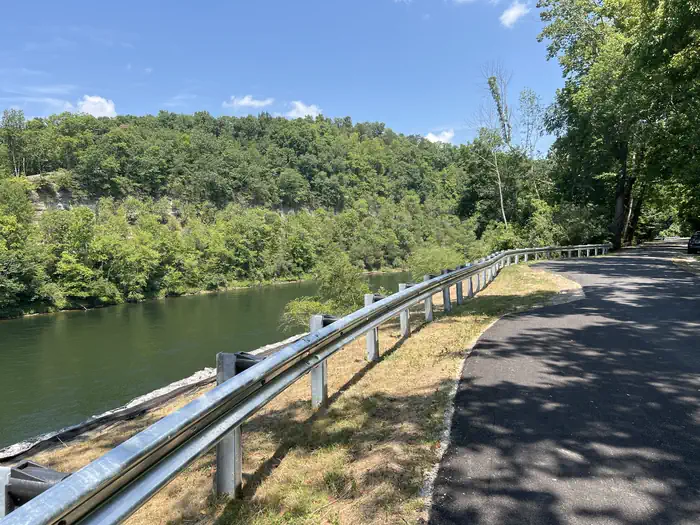
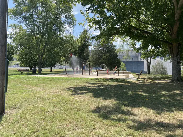
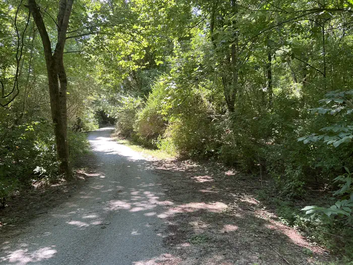
Overview Kendall Campground is located at 80 Kendall Road, south of Jamestown, Kentucky, just below Wolf Creek Dam, which forms beautiful Lake Cumberland. Click here for the Lake Cumberland virtual tour. Recreation Lake Cumberland is the largest man-made lake east of the Mississippi River. Its large surface acreage and over 1,200 miles of shoreline provide a myriad of recreational activities. Kendall Campground offers visitors convenient access to a cold water trout stream, making it a popular fishing destination. The stream is well-stocked with rainbow, brook and brown trout. Whispering Pines Trail, located within the campground, is a non-strenuous trail approximately half a mile long. Facilities The campground is a multi-use recreation area, consisting of 70 acres and 116 reservable campsites, all of which have water and electric hookups. Each campsite has a picnic table, fire ring/grill and lantern post. A group day-use picnic shelter with water and electric hookups is available as well. A boat ramp, fish cleaning station, basketball court, horseshoe pit, hiking trail and playgrounds are located within the park. Natural Features The campground overlooks the river, offering sweeping scenic views. Dense stands of mature hardwoods forest the site, offering scenic views, pleasant shade and wildlife habitat. Because of the temperate climate and relatively long recreation season, the lake provides varied outdoor recreational opportunities for millions of visitors each year. Nearby Attractions Wolf Creek Dam National Fish Hatchery is within walking distance of the campground. It is open year-round and offers free tours to the public and an excellent Environmental Education Center. Click here for more information. Lake Cumberland State Park is just 6.5 miles from the campground. This beautiful park offers fishing, hiking, horseback riding, mini golf, disc golf and boat rentals. Birders enjoy the park for its exceptional viewing prospects of raptors, songbirds and waterfowl. Grider Hill Marina and Resort is 25 minutes away, with boat rentals, a restaurant and general store. Jamestown Marina & Resort is 25 minutes away, with boat rentals, a restaurant and general store. State Dock Marina is 8 miles away, with boat rentals, snack bar and general store.
From the managing agency.
Is KENDALL CAMPGROUND free?
We do not have a fee on record for KENDALL CAMPGROUND. Confirm the cost locally before you go.
How do I get to KENDALL CAMPGROUND?
KENDALL CAMPGROUND is at 36.8721, -85.1457. We do not hold written directions for this one, so navigate to the coordinates.
Nearby
- FALL CREEK CAMPGROUND17.5 mi
- CUMBERLAND POINT CAMPGROUND18.0 mi
- LILLYDALE CAMPGROUND AND DAY USE20.4 mi
- MILL SPRINGS MILL SHELTER20.7 mi
- WILLOW GROVE CAMPGROUND22.5 mi
- OBEY RIVER PARK23.5 mi
- HOLMES BEND24.5 mi
- Satterly Picnic Shelter27.0 mi
No other services within 50 mi on the record.
SourceSource data is agency published. Last synced September 19, 2026. Community reports and photos are submitted by travelers and are not verified by the agency.
