
CUMBERLAND POINT CAMPGROUND
Campground · Fee not listed
Fast facts
- Cost
- Not listed. Check locally.
- Type
- Campground
- Phone
- 606-871-7886
- Coordinates
- 36.9656, -84.8422
- Last verified
- September 19, 2026

About this place
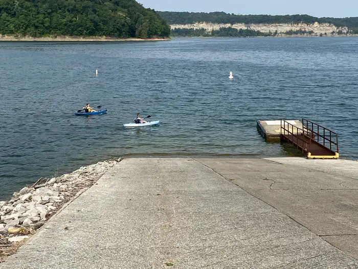
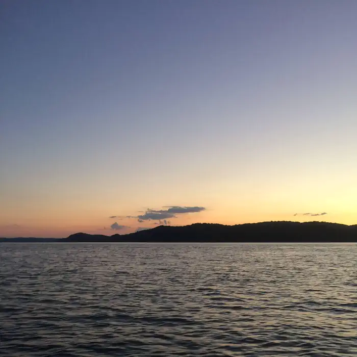
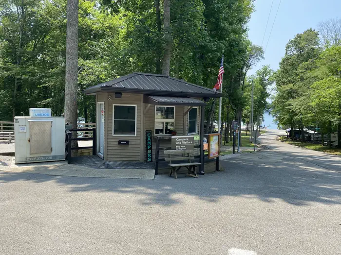
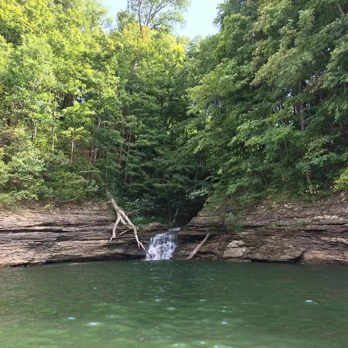
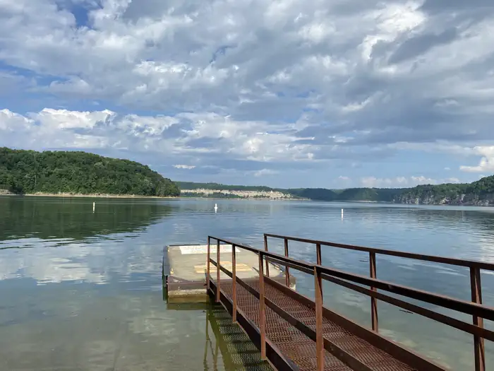
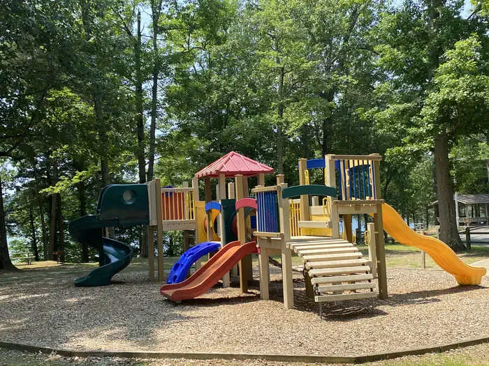
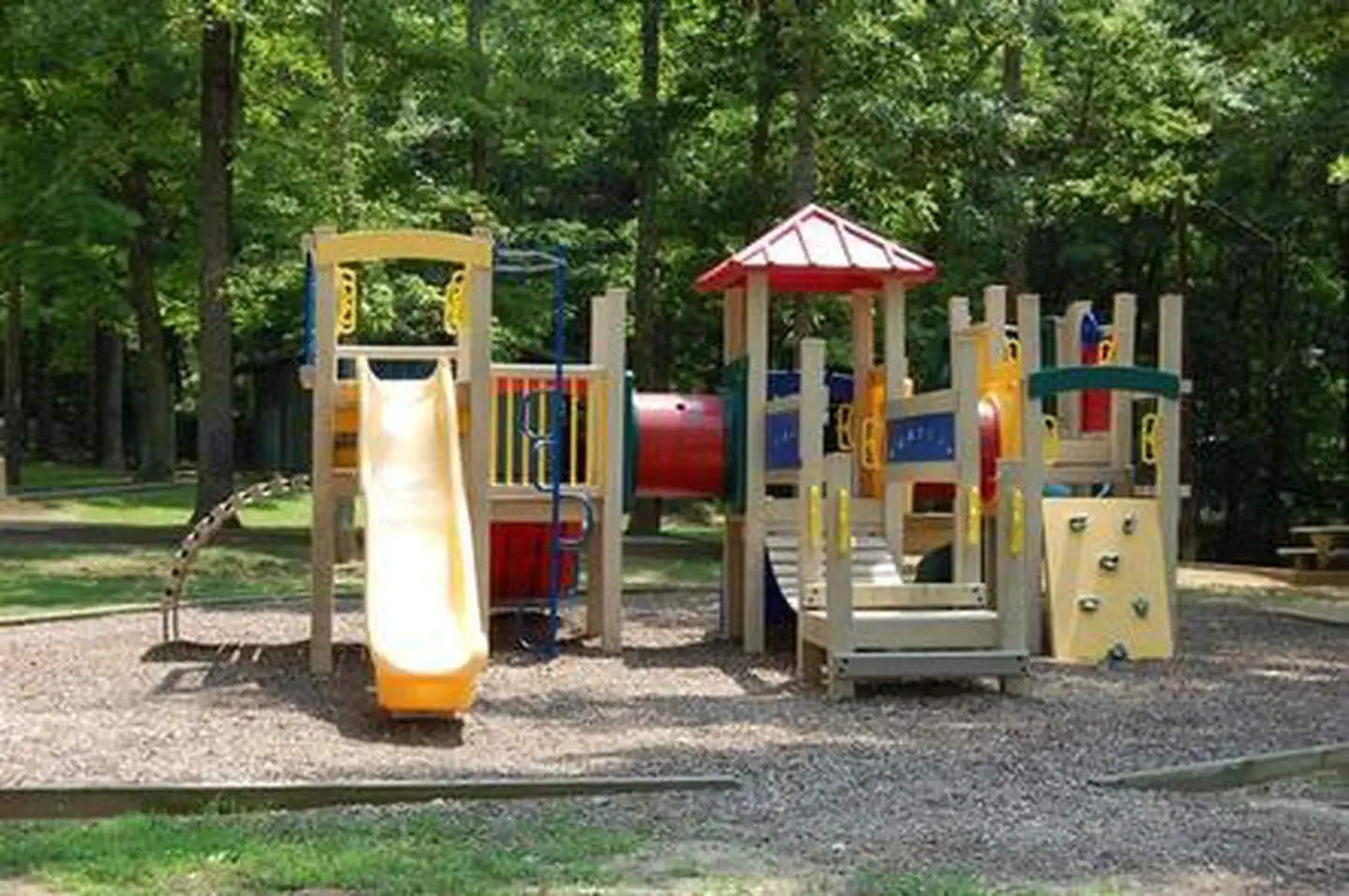
Overview Cumberland Point Campground is situated along the shores of the vast Lake Cumberland in southern Kentucky. Click here for the Lake Cumberland virtual tour. Recreation Lake Cumberland is the largest man-made lake east of the Mississippi River. Its large surface acreage and over 1,200 miles of shoreline provide a myriad of recreational activities. The lake has an abundance of largemouth, smallmouth, white and Kentucky bass, bluegill, crappie, rockfish and walleye, making it a favorite among anglers. Facilities Visitors enjoy the 30-acre site and its 30 shaded campsites. Fourteen of these sites are waterfront, making them prime locations for weekend recreation. Cumberland Point has a day-use area, picnic shelter and public parking. Amenities include flush toilets, showers, drinking water and a dump station. A boat ramp and playground are located within the park. The entrance and exit roads have a moderate to severe grade. Natural Features The campground overlooks the main body of the lake, offering sweeping scenic views. Dense stands of mature hardwoods forest the site, offering scenic views, pleasant shade and wildlife habitat. Because of the temperate climate and relatively long recreation season, the lake provides varied outdoor recreational opportunities for millions of visitors each year. Nearby Attractions The Mill Springs Battlefield Park is just a 20-minute drive from the campground. This historic Civil War site offers interpretive exhibits, a gift shop and driving tour. Special events are held throughout the year.
From the managing agency.
Is CUMBERLAND POINT CAMPGROUND free?
We do not have a fee on record for CUMBERLAND POINT CAMPGROUND. Confirm the cost locally before you go.
How do I get to CUMBERLAND POINT CAMPGROUND?
CUMBERLAND POINT CAMPGROUND is at 36.9656, -84.8422. We do not hold written directions for this one, so navigate to the coordinates.
Nearby
- FALL CREEK CAMPGROUND2.0 mi
- MILL SPRINGS MILL SHELTER4.2 mi
- FISHING CREEK CAMPGROUND11.2 mi
- WAITSBORO CAMPGROUND12.4 mi
- KENDALL CAMPGROUND18.0 mi
- Alum Ford Campground21.4 mi
- Alum Ford Campground21.5 mi
- Rock Creek #323.1 mi
No other services within 50 mi on the record.
SourceSource data is agency published. Last synced September 19, 2026. Community reports and photos are submitted by travelers and are not verified by the agency.
