
BIG CREEK GROUP CAMP
Campground · Fee
Fast facts
- Cost
- Fee charged
- Type
- Campground
- Phone
- 423-487-2683
- Nearest dump station
- Cosby RV Sanitary Station · 5.6 mi
- Coordinates
- 35.7522, -83.1089
- Last verified
- September 19, 2026
About this place
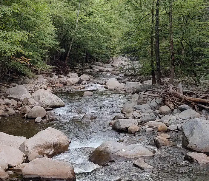
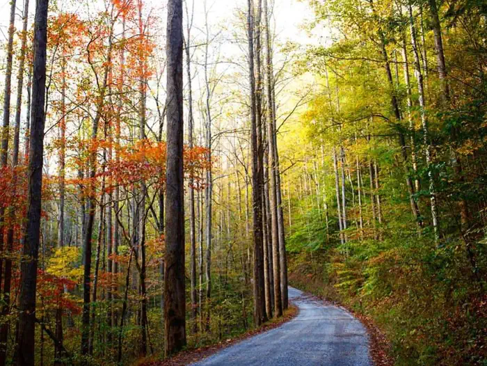
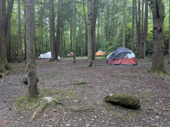
Overview Big Creek Group Camp is located in the far northeastern corner of the Great Smoky Mountains National Park, near the Tennessee-North Carolina border. With the gentle waters of Big Creek running alongside the site, and a handful of trailheads within walking distance, this campsite offers an ideal setting for group camping excursions. Recreation Numerous hiking and horseback riding trails are accessible from the campground and in the surrounding areas. Most notably, the Appalachian Trail is easily reached via the Chestnut Branch Trail, a 2.1 mile trail for hikers only, beginning down the road from the campground. Nearby Baxter Creek Trail meanders along the water, while equestrian campers might enjoy taking the Big Creek Trail to Mouse Creek Falls or Midnight Hole, an area where Big Creek squeezes between large boulders, forming a deep, beautifully-colored pool. Compared to some other areas of the park, Big Creek is not crowded with anglers. Spring provides ideal conditions for fly fishing on Big Creek, with Rainbow and Brook trout looking for the aquatic insects which hatch during this time. Facilities Big Creek Group Camp offers an unforgettable outdoor experience combined with the convenience of flush toilets, drinking water and sinks. The campsite can accommodate up to 25 guests and tent pads, grills and fire rings are provided. The site is surrounded by a heavy canopy of towering forest, providing plenty of shade for guests. Natural Features Big Creek Group Camp is nestled among the scenic mountains and pristine streams surrounding the big creek section of the North Carolina Smokies. Nearby Mouse Creek Falls, a 35 foot waterfall forming at the confluence of Mouse Creek and Big Creek, is a stunning geological feature of the area. The falls splits over moss covered rocks and falls about 20 ft. before pooling and falling another 15 ft. into Big Creek. The falls can be reached via the Big Creek Trail, which is covered in wildflowers during spring months. Nearby Attractions The Big Creek Horse Camp is located nearby, with horse stables and riding trails available. Full service grocery stores and medical facilities are located 16 miles away in Newport, Tennessee. Charges & Cancellations Customers who cancel a group overnight facility reservation less than 14 days before the arrival date will pay a $10.00 service fee AND forfeit the first night's use fee.
From the managing agency.
Is BIG CREEK GROUP CAMP free?
No. BIG CREEK GROUP CAMP charges a fee.
How do I get to BIG CREEK GROUP CAMP?
BIG CREEK GROUP CAMP is at 35.7522, -83.1089. We do not hold written directions for this one, so navigate to the coordinates.
Nearby
SourceSource data is agency published. Last synced September 19, 2026. Community reports and photos are submitted by travelers and are not verified by the agency.
