
BACKBONE ROCK RECREATION AREA PAVILIONS
Campground · Fee not listed
Fast facts
- Cost
- Not listed. Check locally.
- Type
- Campground
- Phone
- 423-735-1500
- Nearest dump station
- Cosby RV Sanitary Station · 97.0 mi
- Coordinates
- 36.5939, -81.8150
- Last verified
- September 19, 2026

About this place
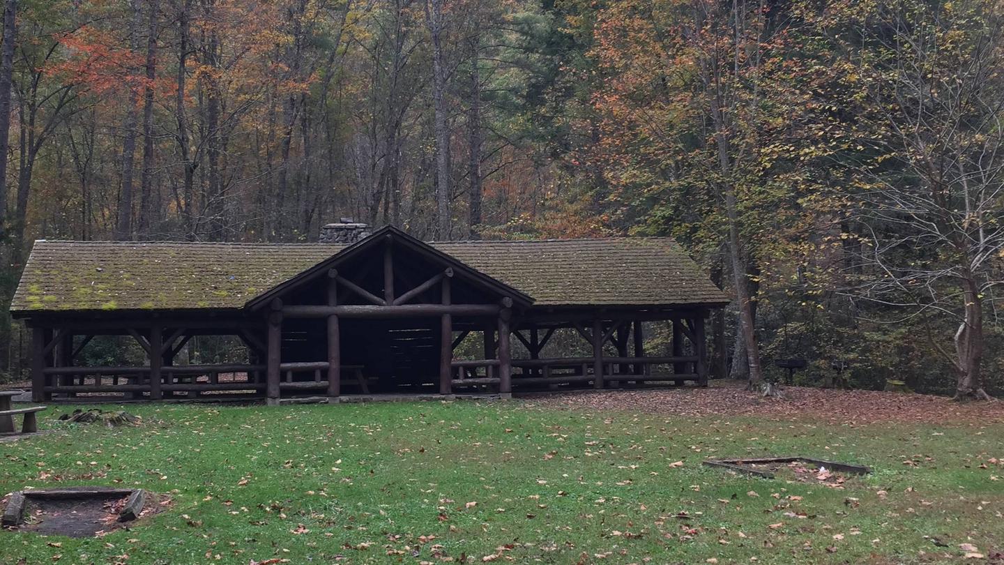
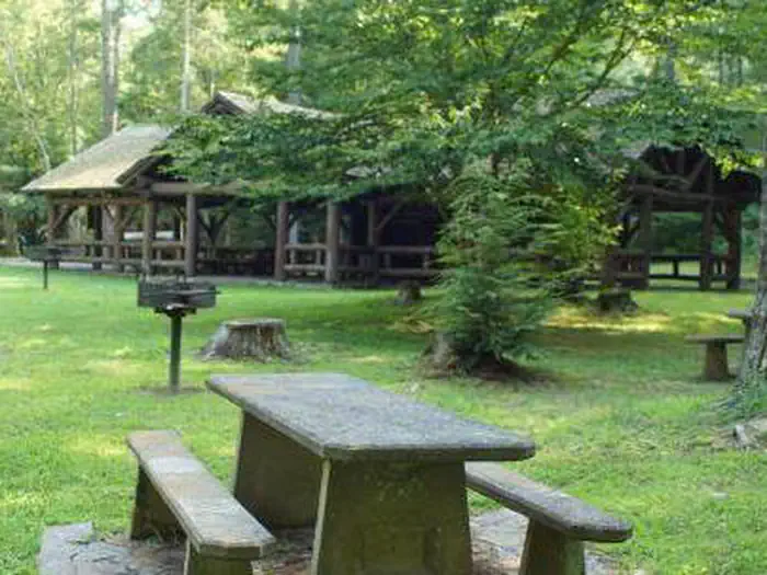
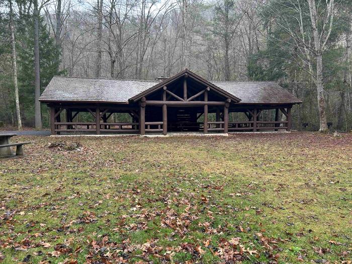
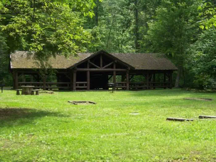
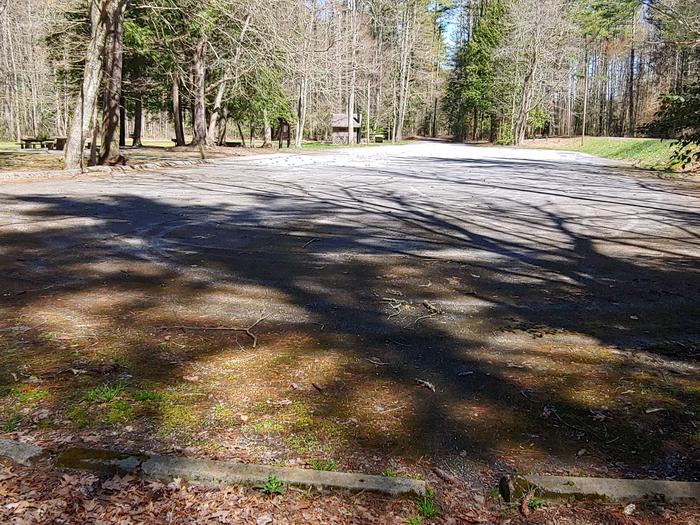
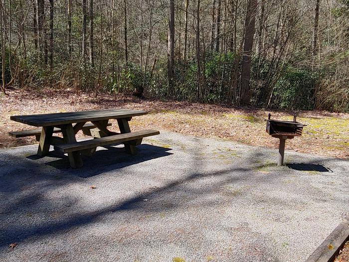
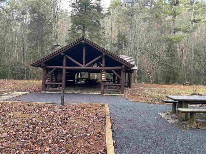
Overview The pavilion at Backbone Rock Recreation Area is a popular location for family reunions and other types of group gatherings. The pavilion is large and adjacent to an expansive field, Beaverdam Creek, and a large parking area. The area includes accessible grills, picnic tables, dumpsters, and vault toilets. Recreation There is a trail that will take you to the top of Backbone Rock, following a stone-step wooded path. The trail crosses the rock and leads to Beaverdam Creek or Backbone Rock Falls. The Appalachian National Scenic Trail adjoins Backbone Rock Trail. Beaverdam Creek is known for its excellent fishing. Facilities There is a Civilian Conservation Corps (CCC) -era pavilion, picnic tables and grills. The pavilion includes a stone fireplace and several large picnic tables with additional tables and grills nearby. Vault toilets are located within the parking area. Natural Features Backbone Rock Recreation Area is located along Beaverdam Creek in northern Johnson County. Backbone Rock gets its name from a spur ridge on Holston Mountain that ends abruptly at a bend in Beaverdam Creek. A tunnel was drilled through the rock in 1901 to allow railroad access between Shady Valley, TN and Damascus, VA. Motorists pass through what is locally known as "The shortest tunnel in the world" as they travel along TN 133. Contact Info This location is unstaffed. To speak with our main office for general information, please call: (423) 735-1500. Nearby Attractions Damascus, Virginia is five miles North of Backbone Rock for any in-town needs.
From the managing agency.
Is this site free?
We do not have a fee on record for this site. Confirm the cost locally before you go.
How do I get to this site?
this site is at 36.5939, -81.8150. We do not hold written directions for this one, so navigate to the coordinates.
Nearby
SourceSource data is agency published. Last synced September 19, 2026. Community reports and photos are submitted by travelers and are not verified by the agency.
