
BACKBONE ROCK CAMPGROUND
Campground · Fee not listed
Fast facts
- Cost
- Not listed. Check locally.
- Type
- Campground
- Phone
- 423-735-1500
- Nearest dump station
- Cosby RV Sanitary Station · 97.0 mi
- Coordinates
- 36.5939, -81.8150
- Last verified
- September 19, 2026

About this place
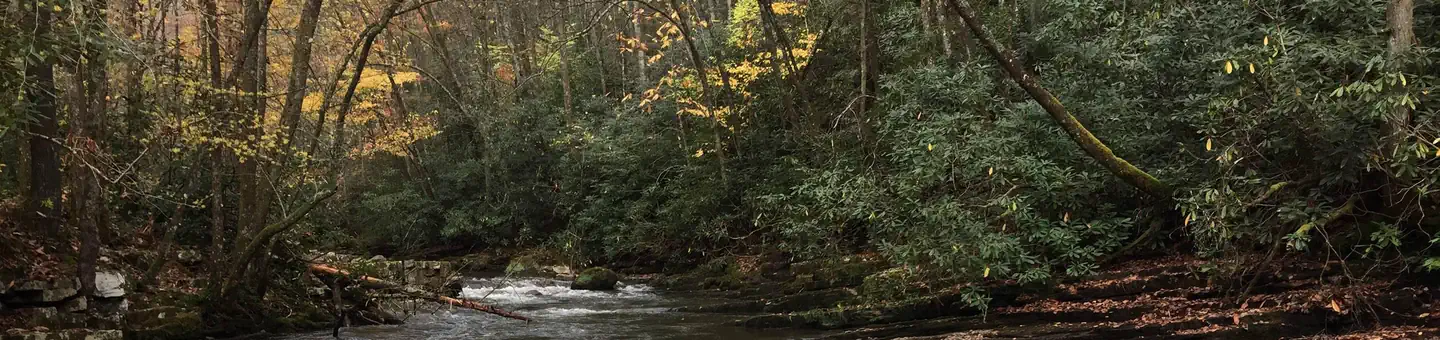
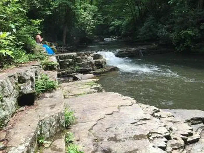
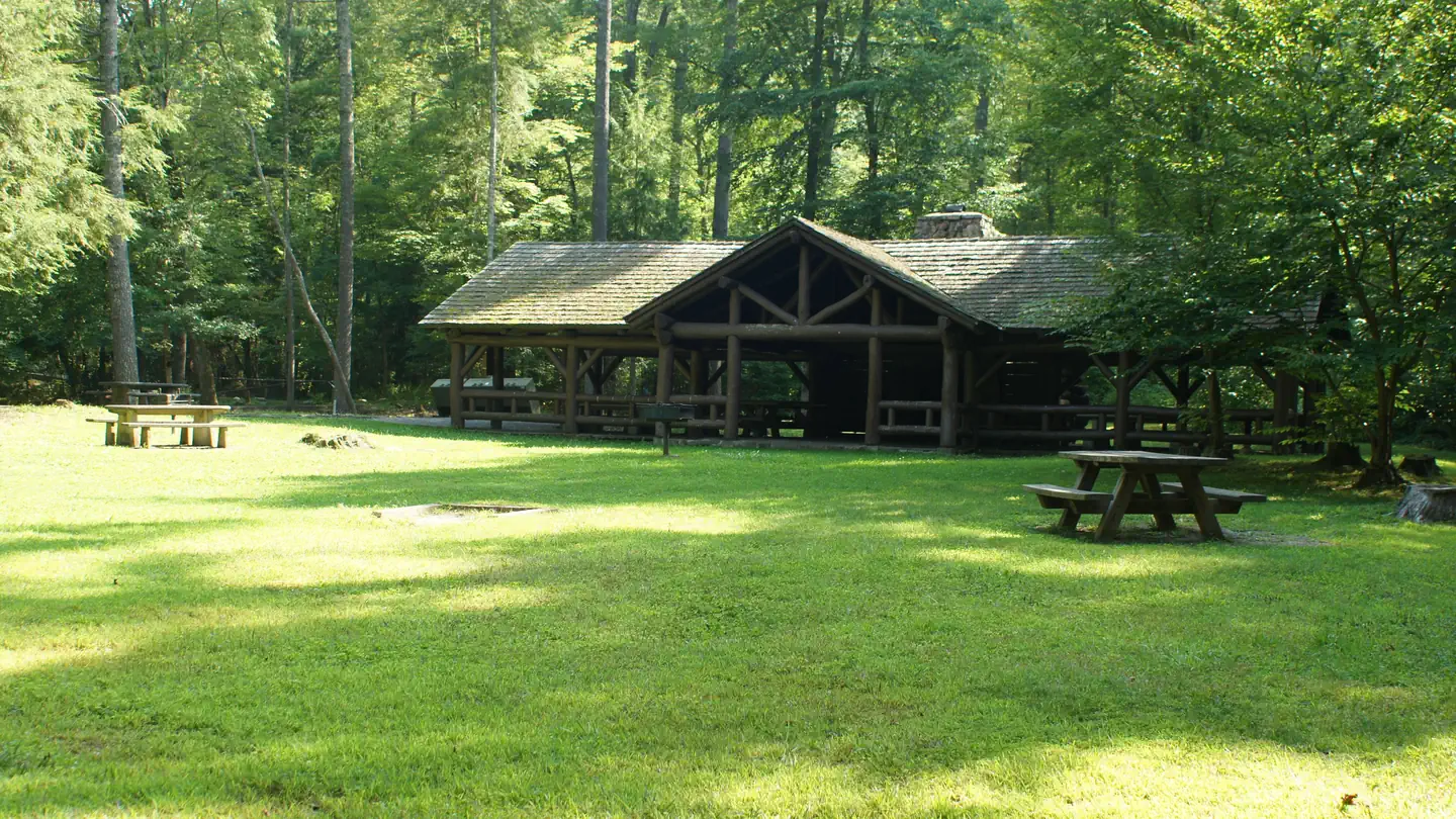
Overview Backbone Rock Campground will open for the 2026 season on 4/27/26. The pavilion and vault toilets in the day-use area will open on 3/16/26. Backbone Rock is a small campground situated along the beautiful Beaverdam Creek at an elevation of 2,100 feet in northern Johnson County. This developed campground is popular with those visiting the nearby Backbone Rock, a tunnel originally blasted through the rock ridge for the railway. The creek side location with popular swim area and lush forest surroundings make Backbone Rock Campground particularly desirable during hot summer months. With 10 campsites and an adjacent large Civilian Conservation Corps- built reservable pavilion with lawn, Backbone Rock is a great option for a group to reserve the whole campground for retreats and other events. Recreation Along with camping, Beaverdam Creek is stocked with trout. The Appalachian National Scenic Trail is accessed via the Backbone Rock Trail (#53). Facilities There are 10 single campsites, including two double sites within Backbone Rock Campground. The campground has flush toilets. Each site contains a table, fire ring and lantern holder. Natural Features Backbone Rock Campground is located along the beautiful Beaverdam Creek nestled in the mountains of the Southern Appalachians. Nearby Attractions The trailhead for the Backbone Rock Trail (#53) is approximately a quarter mile South of the campground on TN Highway 133. This trail is 4 miles and at the end of the trail is where it joins into the Appalachian National Scenic Trail (#1) Damascus, VA is approximately 5 minutes North of the campground. The Backbone Falls Trail (#198) is approximately a third of a mile South of the campground. This 0.4 mile loop trail takes you to the top of Backbone Falls.
From the managing agency.
Is BACKBONE ROCK CAMPGROUND free?
We do not have a fee on record for BACKBONE ROCK CAMPGROUND. Confirm the cost locally before you go.
How do I get to BACKBONE ROCK CAMPGROUND?
BACKBONE ROCK CAMPGROUND is at 36.5939, -81.8150. We do not hold written directions for this one, so navigate to the coordinates.
Nearby
SourceSource data is agency published. Last synced September 19, 2026. Community reports and photos are submitted by travelers and are not verified by the agency.
