
TOMPKINS
Campground · Fee
Fast facts
- Cost
- Fee charged
- Type
- Campground
- Coordinates
- 41.9808, -77.1894
- Last verified
- September 19, 2026
About this place
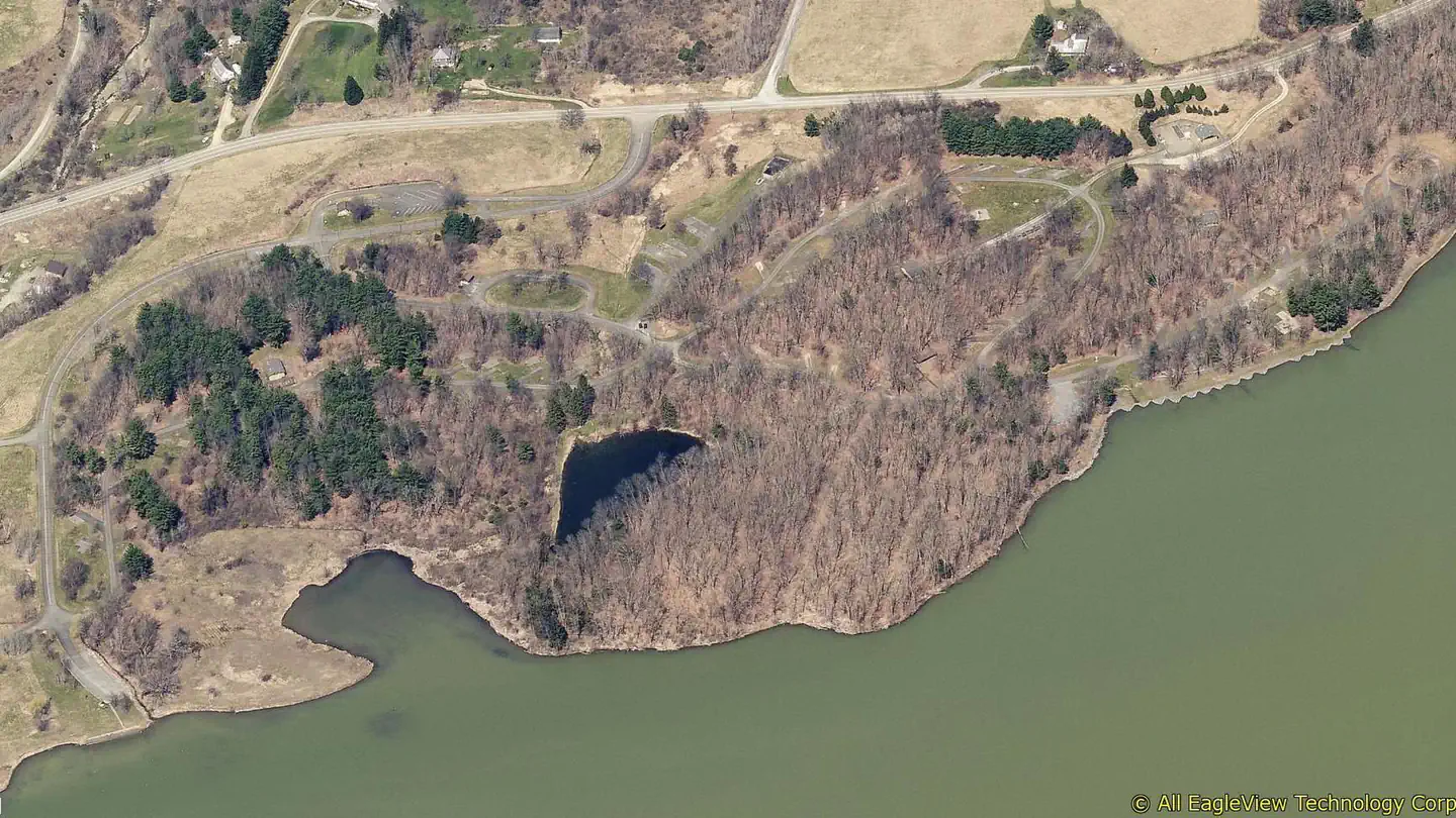
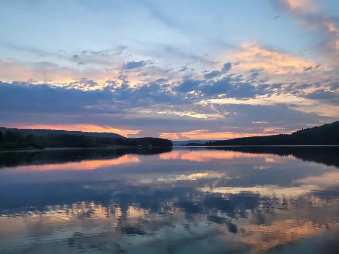
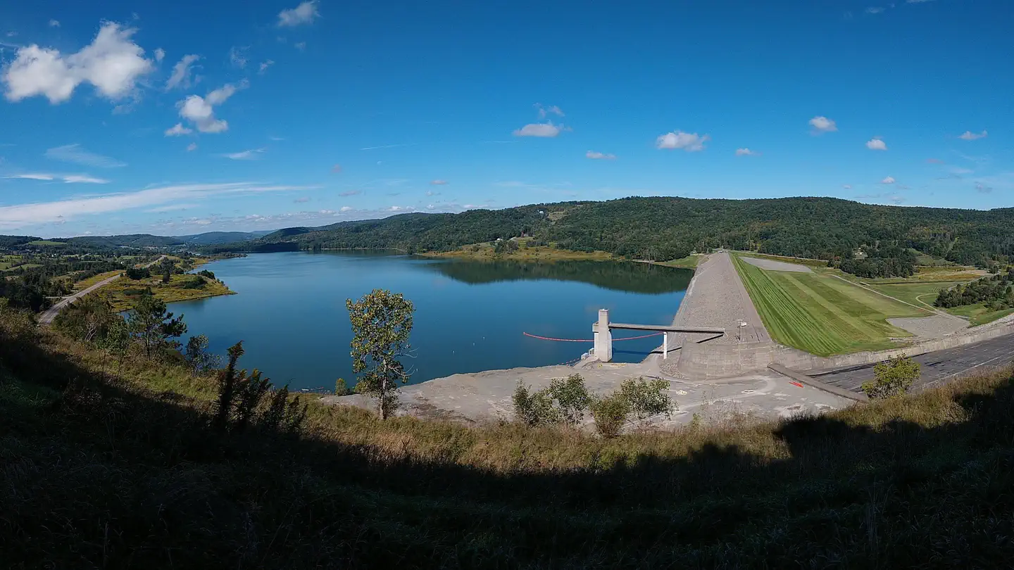
Overview Tompkins Campground is on the north shore of Cowanesque Lake in the northern tier of Pennsylvania, less than one mile from the New York state border. Surrounded by lush forested ridges, the lake offers recreation for the entire family, including picnicking, swimming, boating, fishing, hiking, hunting and wildlife watching. The campground is a great place for kids of any age. Recreation Cowanesque Lake offers a variety of outdoor activities. With a boat ramp and overnight mooring, campers can easily spend time on the water. There are a variety of indigenous fish that inhabit the area's streams and lakes, and fishing tournaments are held frequently. The North and South Tailrace areas provide access for fishing downstream of Cowanesque Dam. The fields and forests around the lakes are popular destinations for both local and out-of-state hunters looking for large and small game species native to the eastern hardwood forests. The 4 mile Moccasin Trail within the facility leads hikers on a trek through reclaimed farm fields and wood lots inhabited by a variety of watchable wildlife. Facilities Tompkins has a variety of shoreline sites, most of which have electric hookups. The campground includes 109 traditional campsites and, 16 tent only hike-in sites. A boat ramp, drinking water, hot showers, playgrounds and a dump station are also provided. There are two overlooks and two downstream fishing access points. Natural Features The partially forested campground sits in the pristine setting of the Endless Mountains region of Pennsylvania, along the Allegheny Plateau in the Appalachian Mountains. The surrounding land paints a scenic picture of rolling mountains and open fields. Charges & Cancellations Reservations to include any reservation changes, such as cancel, refund requests, site transfer, or date changes cannot be made at facility location.
From the managing agency.
Is TOMPKINS free?
No. TOMPKINS charges a fee.
How do I get to TOMPKINS?
TOMPKINS is at 41.9808, -77.1894. We do not hold written directions for this one, so navigate to the coordinates.
Nearby
- LAWRENCE RECREATION AREA1.1 mi
- SOUTH SHORE RECREATION AREA1.1 mi
- IVES RUN6.5 mi
- LAMBS CREEK RECREATION AREA11.8 mi
- Finger Lakes Trail Shelter37.2 mi
- Backbone Horse Camp39.9 mi
- Backbone Horse Campground40.0 mi
- Blueberry Patch Campground40.0 mi
No other services within 50 mi on the record.
SourceSource data is agency published. Last synced September 19, 2026. Community reports and photos are submitted by travelers and are not verified by the agency.
