
ROBERT W CRAIG
Campground · Fee not listed
Fast facts
- Cost
- Not listed. Check locally.
- Type
- Campground
- Phone
- 304-355-2346
- Coordinates
- 39.4168, -79.1161
- Last verified
- September 19, 2026
About this place
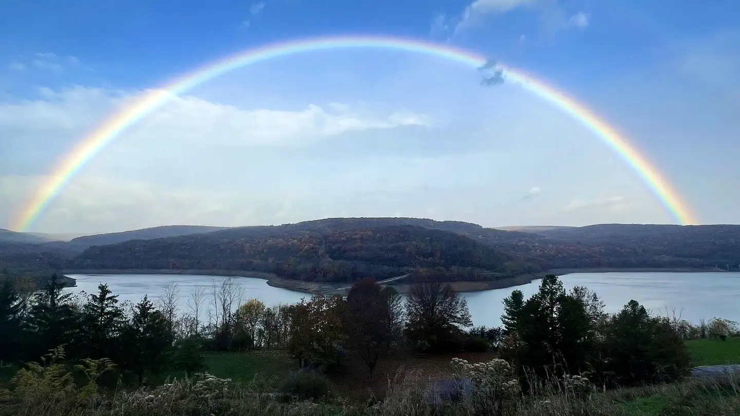
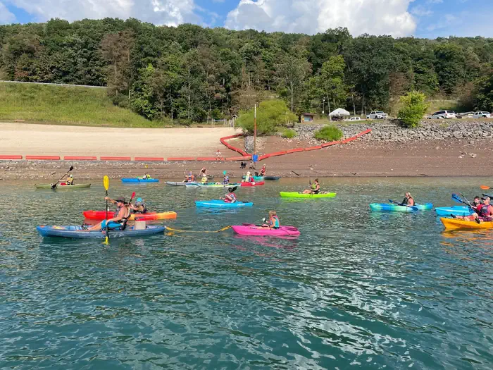
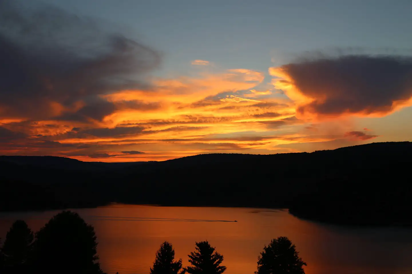
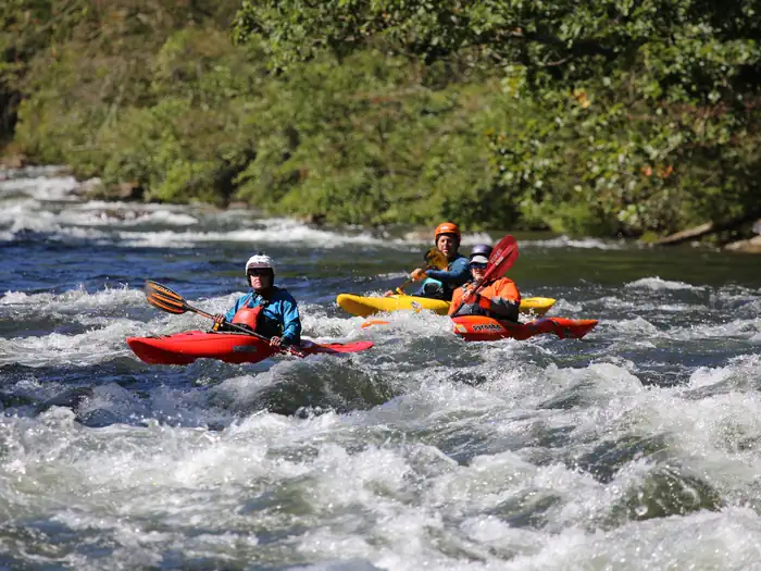
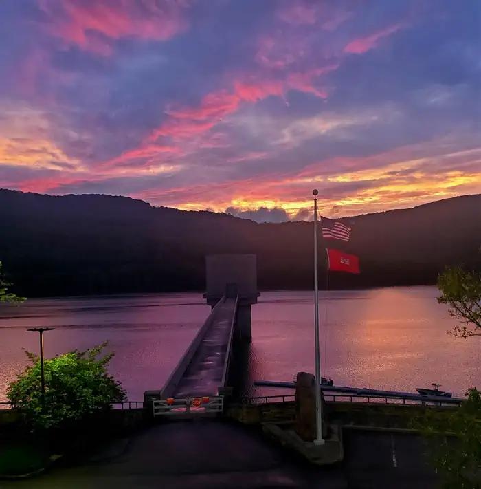
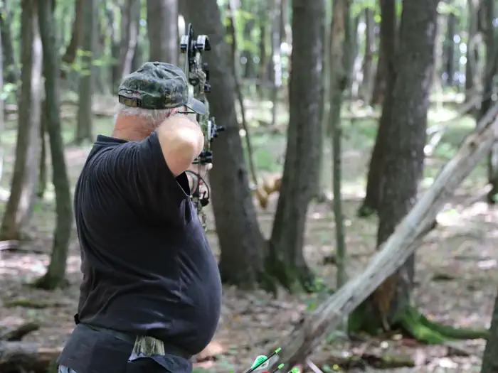
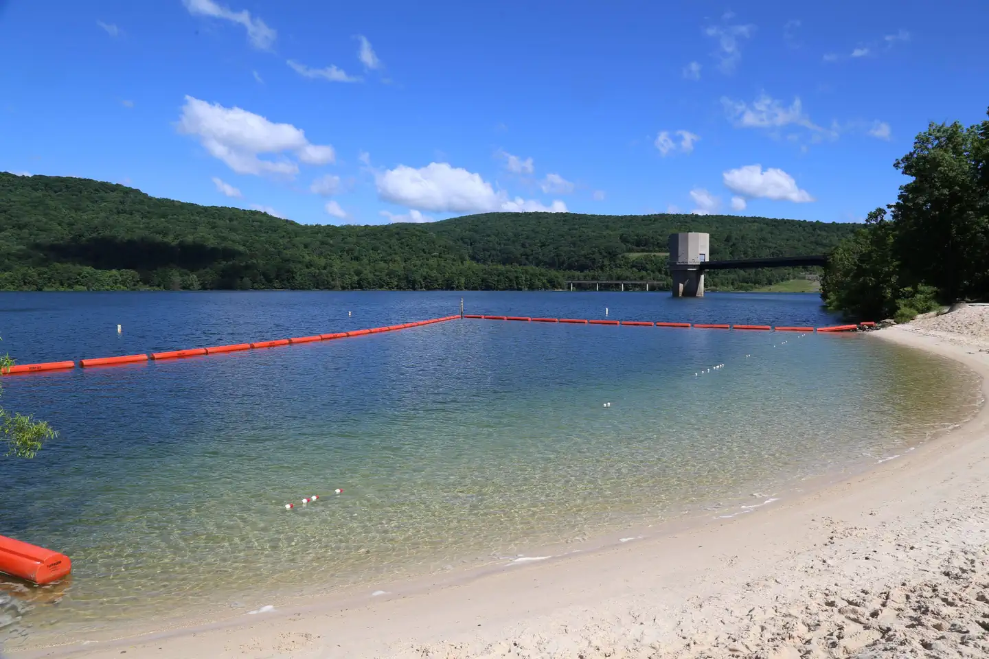
Overview The Robert W. Craig Campground is located off West Virginia State Highway Route 46, five miles from Elk Garden, West Virginia. The campground is located very close to Jennings Randolph Lake which provides many recreational opportunities including boating, swimming, picnicking, scenic overlooks and fishing. The resident bald eagles have been breeding at Jennings Randolph Lake for over 10 years. Bring binoculars for the opportunity to spot an eagle's nest. Recreation During your stay at the campground, enjoy playing a game of horse shoes or hiking the Sunset Trail, High Timber Trail or the 3D Archery Trail. There is also a playground, sandbox, and a swing set available for kids to play on. Located behind the Campground Store, the Kalbaugh Pond appeals to anglers for its stocked largemouth and small mouth bass, blue gill, and catfish. At the pavilion, shoot some hoops on the basketball court or play a game of horse shoes. Birders will love the Songbird Trail and the High Timber Trail provides 28 varieties of labeled tree species. With the trailhead adjacent to the pavilion, visitors can try out the new 3D Archery Range. Hiking trails can be accessed from the campground. Facilities The pavilion includes a 30' by 40' canopy to protect you from the weather and is equipped with lights, electrical outlets, running water and approximately nine picnic tables. A handicap accessible portable toilet is also located nearby. There is a shower house and full bathroom located in the front loop of the campground, as well as a bathroom with no showers located at the back loop of the campground. The electric sites offer up to 50 AMP service and there is a water fill-up station located near the entrance station after you check into the campground. Before you leave, there is also a dump station available for you to empty the sewage tank of your camper. Natural Features The lake spans 952 acres in the rugged hills of West Virginia's Allegheny Mountains. The pavilion is located inside of the Robert W. Craig Campground in a nice grassy field where your group can be semi-isolated for a nice reunion or picnic away from the rest of the campground. Nearby Attractions A short mile away from the campground is the North Branch of the Potomac River, renowned as one of the finest trout fisheries on the East Coast. The river is also an excellent location for whitewater rafting. The city of Cumberland, with pleasant cobblestone pedestrian streets and boutique shops, makes for a nice visit.
From the managing agency.
Is ROBERT W CRAIG free?
We do not have a fee on record for ROBERT W CRAIG. Confirm the cost locally before you go.
How do I get to ROBERT W CRAIG?
ROBERT W CRAIG is at 39.4168, -79.1161. We do not hold written directions for this one, so navigate to the coordinates.
Nearby
- Howell Run Picnic Area0.6 mi
- Irons Mountain Hiker-Biker Campsite23.5 mi
- Spring Gap Campground23.6 mi
- Evitts Creek Hiker-Biker Campsite24.7 mi
- MILL RUN RECREATION AREA25.1 mi
- Pigmans Ferry Hiker-Biker Campsite26.3 mi
- Somerfield North Recreation Area27.7 mi
- Red Creek Campground28.6 mi
No other services within 50 mi on the record.
SourceSource data is agency published. Last synced September 19, 2026. Community reports and photos are submitted by travelers and are not verified by the agency.
