
MILL RUN RECREATION AREA
Campground · Fee not listed
Fast facts
- Cost
- Not listed. Check locally.
- Type
- Campground
- Phone
- 814-395-3242
- Coordinates
- 39.7155, -79.3851
- Last verified
- September 19, 2026
About this place
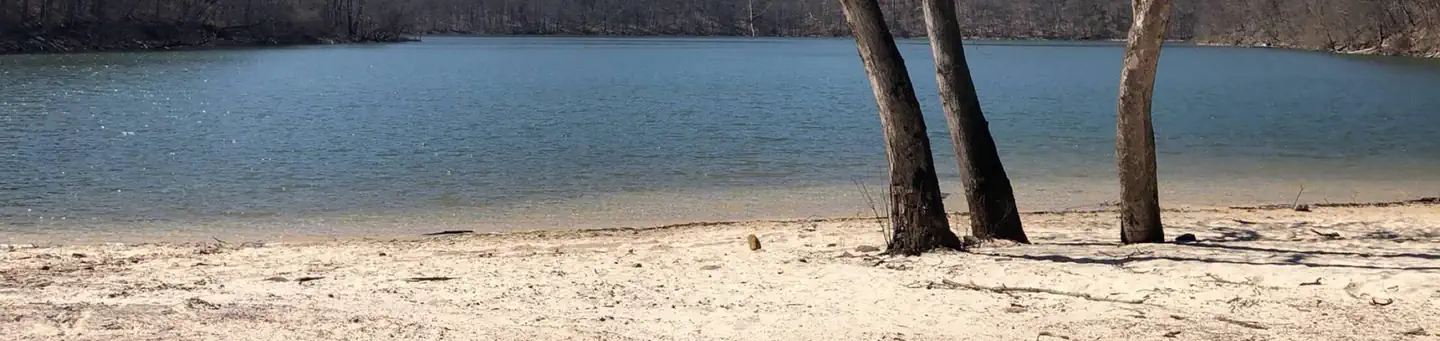
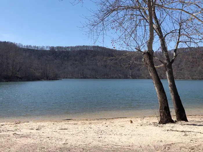
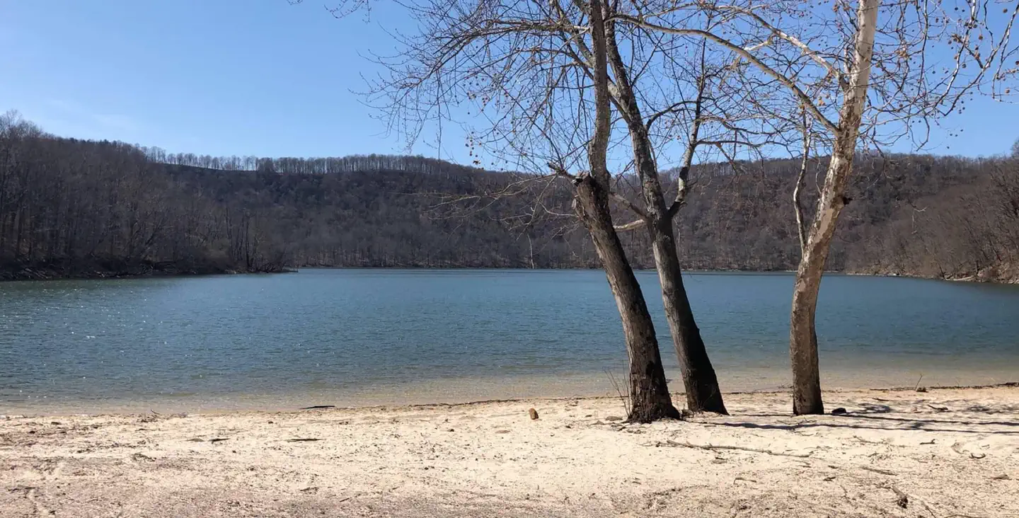
Overview The Mill Run Camping Area is located on Youghiogheny River Lake in the heart of the Laurel Highlands. The lake spans the Mason-Dixon Line between Pennsylvania and Maryland. Clean waters, forested mountains and steep-sided valleys provide an unsurpassed setting for recreational opportunities. Recreation Camping, fishing, boating, water skiing, hiking, biking, picnicking and sightseeing are the area's most popular activities. Boaters consider Youghiogheny River Lake, with its 16-mile length and channels up to one-half mile wide, the best powerboating and water skiing lake in southwestern Pennsylvania. Facilities The campground contains 30 sites that are all self-contained. Flush toilets, drinking water and a dump station are available. There is also a beach, boat launch and children's play area located in the campground. Natural Features The country surrounding the lake is made up of narrow valleys and high rounded hills with steep slopes. Much of the land is covered with northern hardwoods including beech, sugar maple, white ash, yellow poplar and basswood. A variety of wildlife makes its home around Youghiogheny River Lake, including deer, turkey, grouse, rabbit and squirrel. Nearby Attractions Some of Pennsylvania and Maryland's finest state parks surround Youghiogheny Lake. Ohiopyle State Park is known for some of the best whitewater in the East and is often the location of national kayaking competitions.
From the managing agency.
Is MILL RUN RECREATION AREA free?
We do not have a fee on record for MILL RUN RECREATION AREA. Confirm the cost locally before you go.
How do I get to MILL RUN RECREATION AREA?
MILL RUN RECREATION AREA is at 39.7155, -79.3851. We do not hold written directions for this one, so navigate to the coordinates.
Nearby
- Somerfield North Recreation Area2.9 mi
- Youghiogheny Recreation Area 5.7 mi
- OUTFLOW CAMPING6.3 mi
- Howell Run Picnic Area24.8 mi
- ROBERT W CRAIG25.1 mi
- Evitts Creek Hiker-Biker Campsite35.4 mi
- Irons Mountain Hiker-Biker Campsite35.7 mi
- Spring Gap Campground37.1 mi
No other services within 50 mi on the record.
SourceSource data is agency published. Last synced September 19, 2026. Community reports and photos are submitted by travelers and are not verified by the agency.
