
Rivers Bend Group Campground
Campground · Fee
Fast facts
- Cost
- $70.00
- Type
- Campground
- Season
- November 30 to April 21
- Sites
- 5 total · 5 reservable · 0 first come
- Reservations
- recreation.gov
- Phone
- 570-426-2452
- Coordinates
- 41.0961, -74.9666
- Last verified
- September 19, 2026
About this place
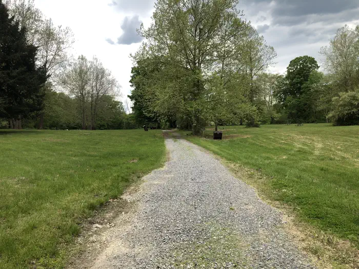
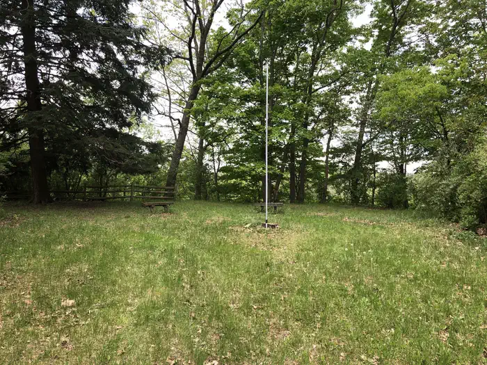
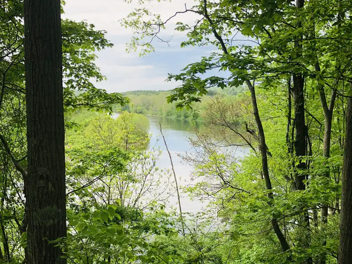
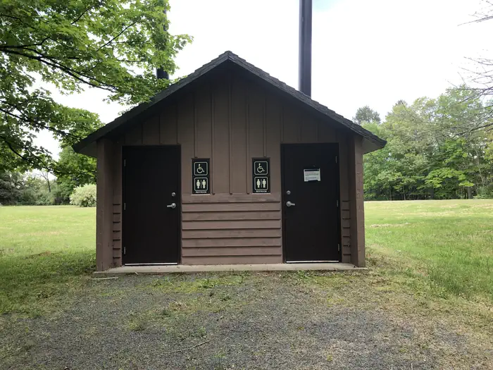
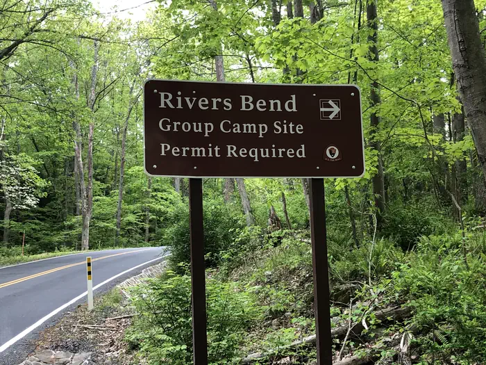
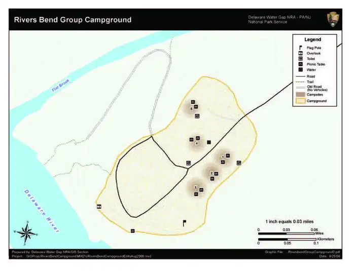
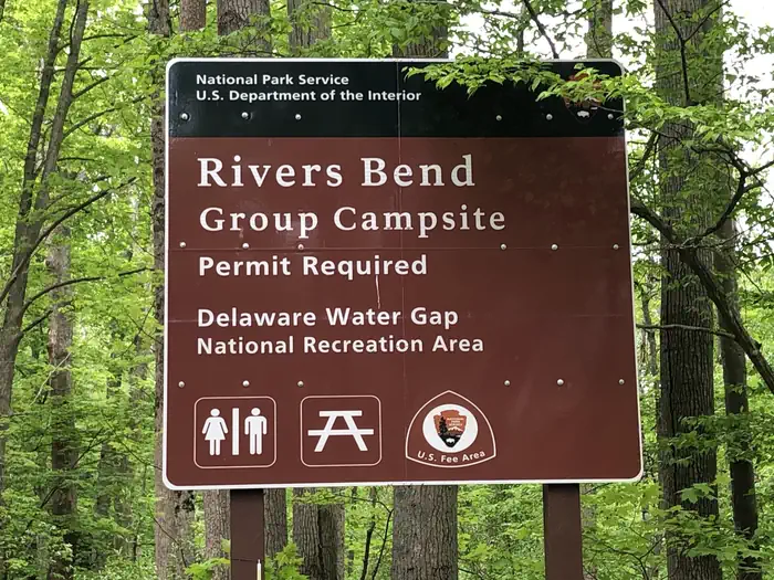
Overview Rivers Bend Group Campground is located on Old Mine Road on the New Jersey side of the park. Its close proximity to the Big Flatbrook Creek and the Delaware River allows campers to enjoy the peacefulness of nature with easy access to outdoor recreational opportunities. There are five campsites that include afire ring, picnic table, bear proof trash containers, and food lockers. Each site can host 5 to 15 people. Facilities are Accessible. Potable water is available, and there are vault toilets centrally located at the site. Pets are not permitted at River's Bend Campground. The use or possession of alcoholic beverages is prohibited . There are two ways to access River's Bend Campground. You can access the group campground via a vehicle on the compacted gravel entrance road. Or you can access the campground from the Delaware River if you are paddling. There is a crushed gravel trail leading up to the campsites from the river. You have two choices to enter the sites. Either a meandering gravel path from the river or steps leading to the upper grassy camping area. From the river to the camp sites it is approximately 1/10 of mile hike Recreation If you are not paddling down the Delaware River on a canoe or kayak, but decide that driving to your reserved campsite at River's Bend works best for your camping group there are multiple other recreational activities to take advantage of located in the area. If you drove a vehicle to River's Bend Campgrounf we have numerous hiking trails on the New Jersey side of the Park. You can drive to and hike a few miles on the Appalachian Trail located just up the road on Blue Mountain Lakes Rd. You can drive to the southern end of Delaware Water Gap NRA and hike Mount Minsi(Pennsylvania side) or Mount Tammany (New Jersey side) and look down onto the Delaware River. You can drive to and walk through Millbrook. https://www.nps.gov/dewa/planyourvisit/discover-history.htm Swimming is a popular activity at Delaware Water Gap National Recreation Area. Three beaches provide easy access to swim in the river. Be aware that there are no lifeguards at any of the beaches - swim at your own risk. Picnic and restroom facilities are also available at the beaches. https://www.nps.gov/dewa/planyourvisit/swim.htm Feel free to plan your visit to Delaware Water Gap NRA by visiting our website. https://www.nps.gov/dewa/planyourvisit/index.htm Or learn more about what the park has to offer in our Guide to the Gap Publication. https://www.nps.gov/dewa/learn/news/upload/Guide-to-Gap-Semi-Perm_2021_RevisedWebCopy.pdf Facilities A PDF campground map is available on the park website https://www.nps.gov/dewa/planyourvisit/upload/Rivers-Bend-Campground-Map.pdf Natural Features Located along the banks of the Delaware River, River's Bend Group Campground has a large grassy field area surrounded by sprawling pines and hardwood trees. Contact Info For facility specific information, please call (570) 426-2452. Nearby Attractions Nearby attrations include Millbrook Village, Worthington State Forest, Stokes State Forest, and multiple hiking trailing located on the New Jersey side of the park. Charges & Cancellations A $10.00 service fee will apply if you modify your reservation or change your stay dates. Cancelling your reservation prior to 11:59 pm Eastern Time the night before your stay will incur a $10 cancellation fee. Refunds will only be issued for park implemented closures.
From the managing agency.Official page
Is Rivers Bend Group Campground free?
No. Rivers Bend Group Campground charges $70.00. 5 of its sites are reservable through recreation.gov.
Can I bring an RV to Rivers Bend Group Campground?
Rivers Bend Group Campground has 5 sites on record. 5 sites are reservable and 0 are first come.
When is Rivers Bend Group Campground open?
The season on record runs November 30 to April 21. Dates move with weather and with the managing office, so check before a shoulder-season trip.
How do I get to Rivers Bend Group Campground?
Rivers Bend Group Campground is located approximately 2.5 miles north of Millbrook Village on Old Mine Road at GPS Location: 41.096118, -74.966632 Old mine Road is accessible from Interstate 80 in the south of the park and NJ Route 206 on the New Jersey side of the Delaware River and from Interstate 84 just north of Milford, PA. Drive south from Milford, and cross the Delaware at Route 206 before making a right onto Old Mine Road
What are the rules at Rivers Bend Group Campground?
The possession and/or consumption of alcoholic beverages is prohibited. Speed Limit 5 MPH Quiet Hours 10:00pm - 6:00am. Do not move fire rings. Picnic tables must be returned to their original locations. Pets are not permitted in the campground. Registered service animals are exempt from this restriction. Do not park vehicles on the campsites. Parking is available near each campsite. Do not harm trees, plants, or wildlife. No nailing, cutting or breaking branches of standing trees (live or dead).
Nearby
- Alosa Campsites1.0 mi
- Valley View Group Campground1.3 mi
- River Camping3.2 mi
- Worthington State Forest Campground8.4 mi
- Dingmans Campground9.3 mi
No other services within 50 mi on the record.
SourceSource data is agency published. Last synced September 19, 2026. Community reports and photos are submitted by travelers and are not verified by the agency.
