
Alosa Campsites
Campground · Fee
Fast facts
- Cost
- Fee charged
- Type
- Campground
- Phone
- (570) 426-2452
- Coordinates
- 41.0834, -74.9763
- Last verified
- September 19, 2026
About this place
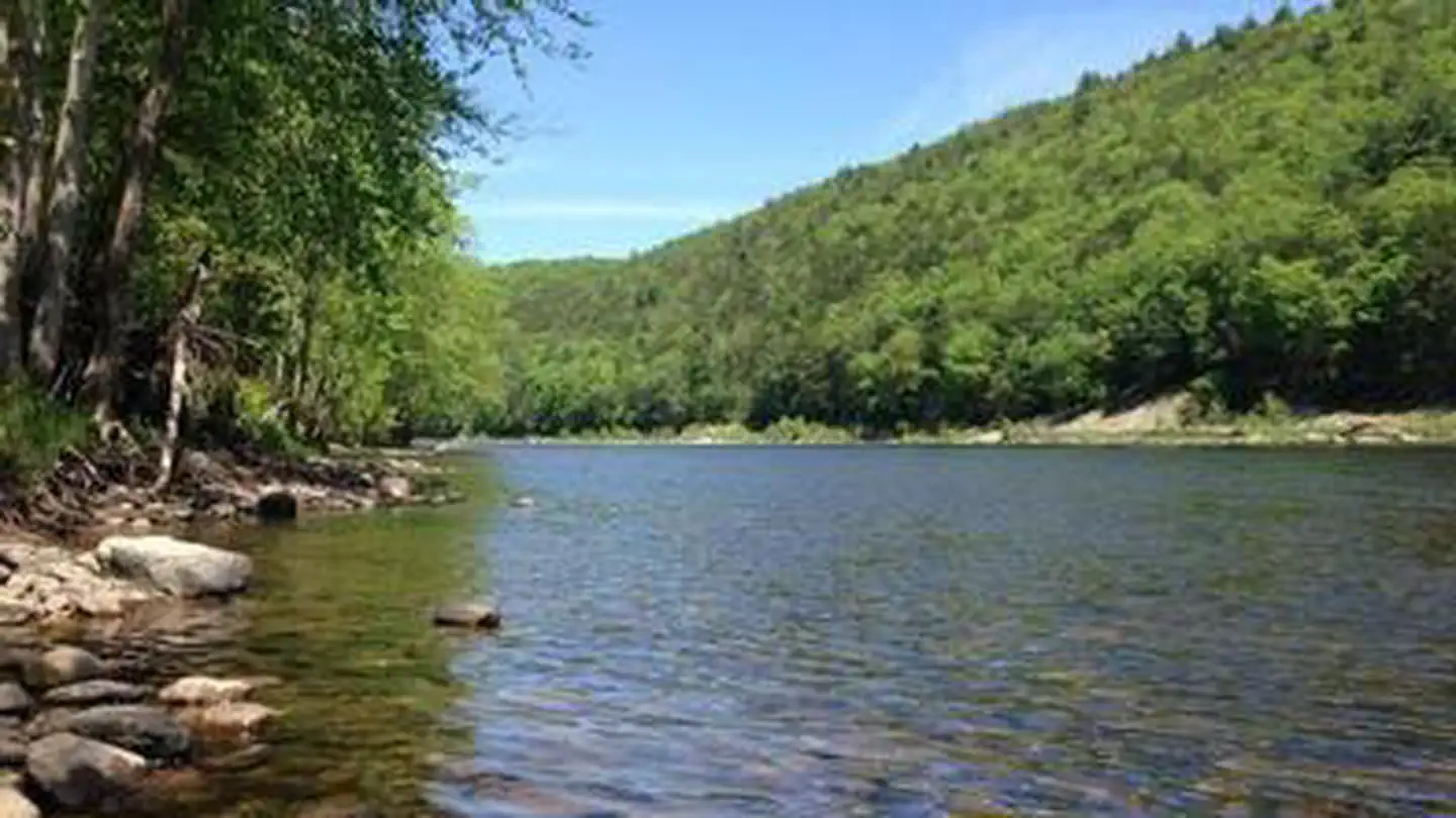
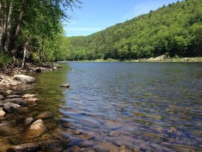
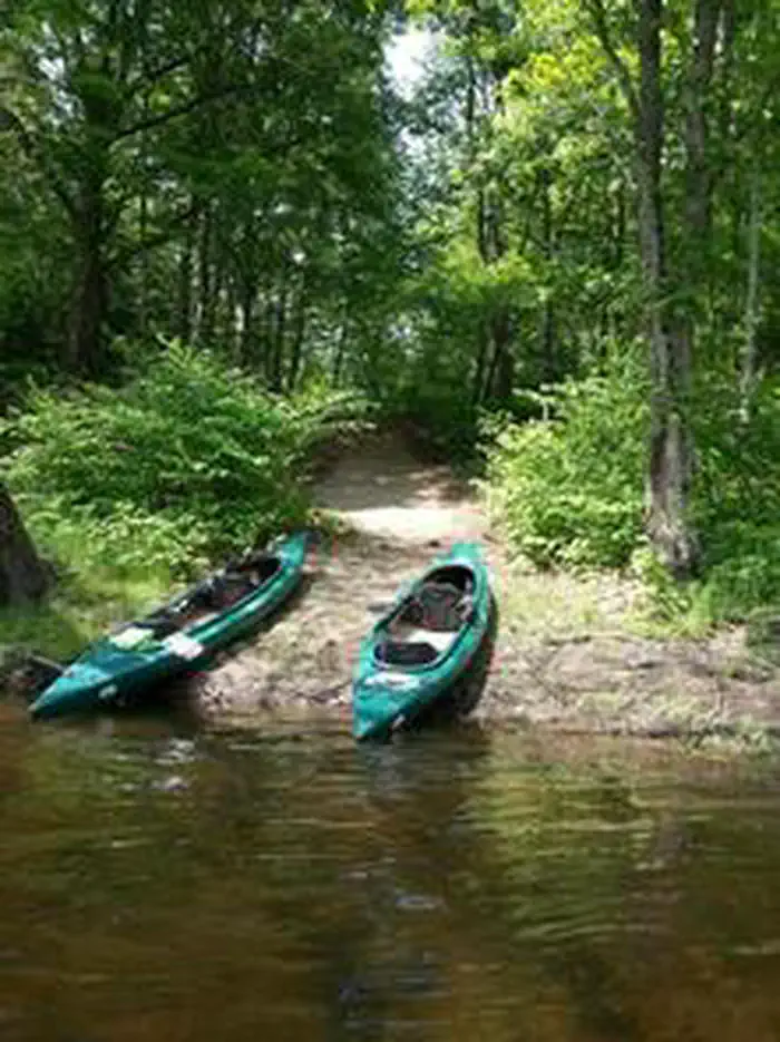
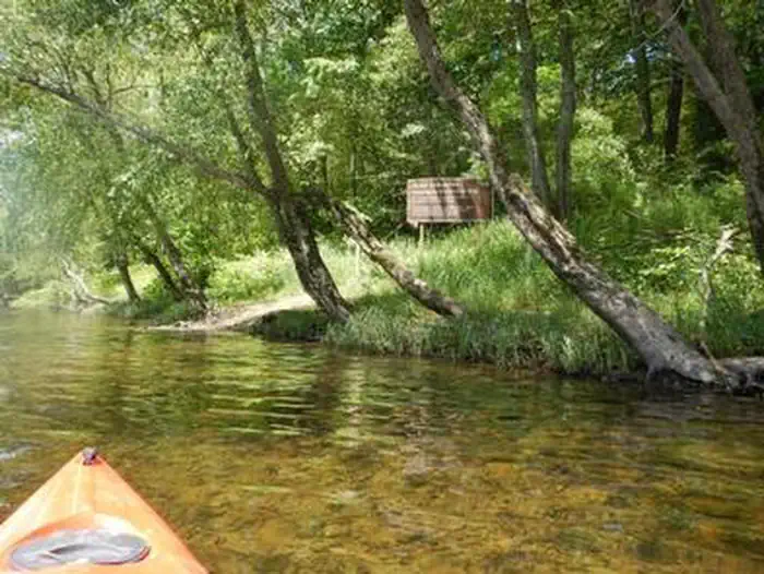
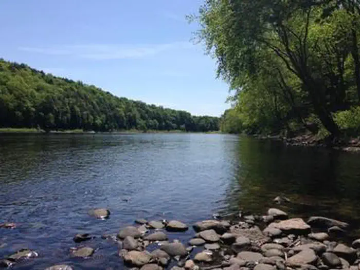
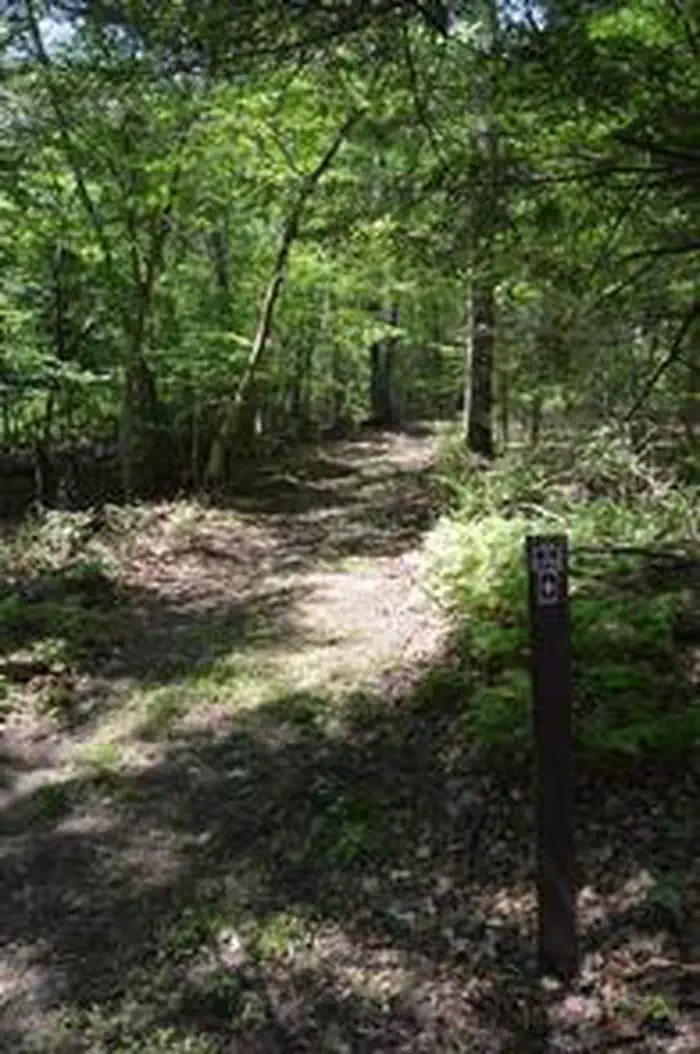
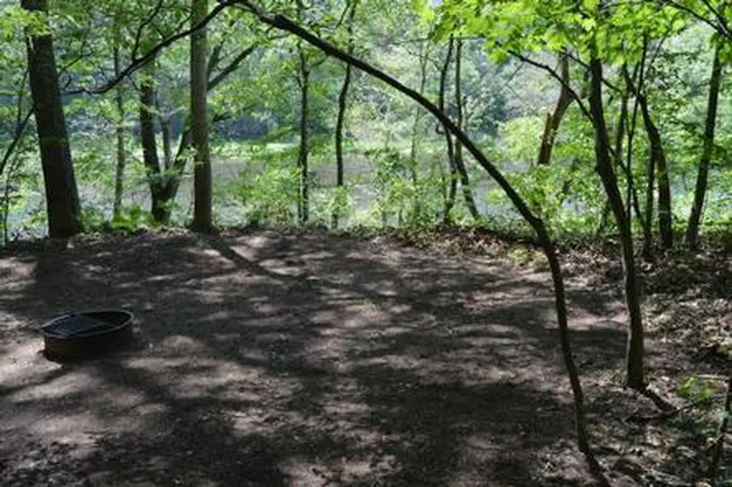
Overview The Alosa Campsites are boat-in only sites located on the west (Pennsylvanian) shore of the Delaware River near Bushkill, Pennsylvania. The side of the river with the campsites will be on your right while traveling downstream. This section of the river offers unspoiled views, excellent boating, fishing, and birding opportunities within the Delaware Water Gap National Recreation Area and the Middle Delaware National Scenic and Recreational River. These reservation-only campsites are available to boaters who are on a multi-day river trip. The Delaware Water Gap National Recreation Area also offers other boat in only campsites that are $16 and available on a first-come, first-served basis. For more information on the first-come, first-served campsites and river campsite regulations in general, visit: http://www.nps.gov/dewa/planyourvisit/river-camping.htm Recreation This part of the Delaware River is unspoiled as it travels through the rural landscape of the Delaware Water Gap National Recreation Area and the Middle Delaware National Scenic and Recreational River. A mixture of flat water and a few riffles make this section ideal for beginning paddlers and those seeking a relaxing trip. Fishing is permitted on the Delaware River during the appropriate state-specific seasons. Anglers must possess a valid PA or NJ fishing license. Hunting is not permitted in or near the campsites. Facilities The Alosa Campsites are composed of six individual reservation-only campsites. Five of the campsites hold a maximum capacity of six people per site (AL4,6,8,10,12), and one campsite holds a max capacity of 10 people (AL2). The site has three boat take-outs. Each take-out serves two campsites: the upstream most serving sites AL2 & AL4, middle serving AL6 & AL8, and the furthest downstream serving AL10 & AL12. There is a steep, 10-foot bank between the water's edge and the campsite locations; boats will need to be pulled out of the water. There is a large sign at the first boat take-out that states "Alosa Campsites". Each take-out has signs indicating their location and each campsite is clearly numbered. Porta Johns are located on site for campers to utilize. Or dig 6-8-inch-deep cat holes 200 feet from water, trails, and campsites Each individual campsite is outfitted with a fire ring with grate and has enough space for a several small to mid-size tents. There is no potable water (for drinking or cooking) available onsite. No vehicles are allowed at these sites. They are designated for boat-in only river trips. Natural Features This section of the Delaware River is known for its American Shad ( Alosa sapidissima ) fisheries, which is how the campsite got its name. The campsites are located on a bench above the Delaware River underneath a grove of hardwood trees. The hardwood forest is home to wildlife, including the eastern gray squirrel, white-tailed deer, and the American black bear, if you are lucky you might even see a bald eagle. Nearby Attractions The campsites are located approximately 2.5 miles downriver of the Bushkill Access and approximately 6 miles upriver from Smithfield Beach. PLEASE NOTE: Only campers on legitimate multi-day river trips may stay overnight at the Alosa Campsites. No vechicles are permitted at Alosa Campsites. Charges & Cancellations A $10.00 service fee will apply if you modify your reservation or change your stay dates. Cancelling your reservation prior to 11:59 pm Eastern Time the night before your stay will incur a non refundable $10 cancellation fee. Refunds will only be issued for park implemented closures.
From the managing agency.
Is Alosa Campsites free?
No. Alosa Campsites charges a fee.
How do I get to Alosa Campsites?
Alosa Campsites is at 41.0834, -74.9763. We do not hold written directions for this one, so navigate to the coordinates.
Nearby
- Rivers Bend Group Campground1.0 mi
- Valley View Group Campground2.3 mi
- River Camping2.3 mi
- Worthington State Forest Campground7.5 mi
- Dingmans Campground10.3 mi
No other services within 50 mi on the record.
SourceSource data is agency published. Last synced September 19, 2026. Community reports and photos are submitted by travelers and are not verified by the agency.
