
Howell Run Picnic Area
Campground · Fee not listed
Fast facts
- Cost
- Not listed. Check locally.
- Type
- Campground
- Phone
- 304 355-2346
- Coordinates
- 39.4169, -79.1272
- Last verified
- September 19, 2026
About this place
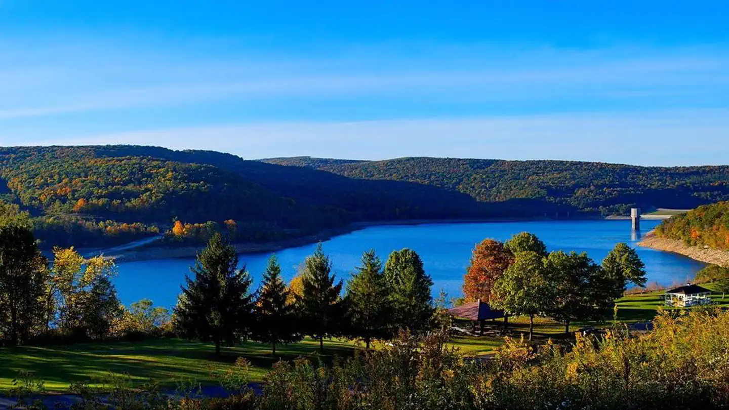
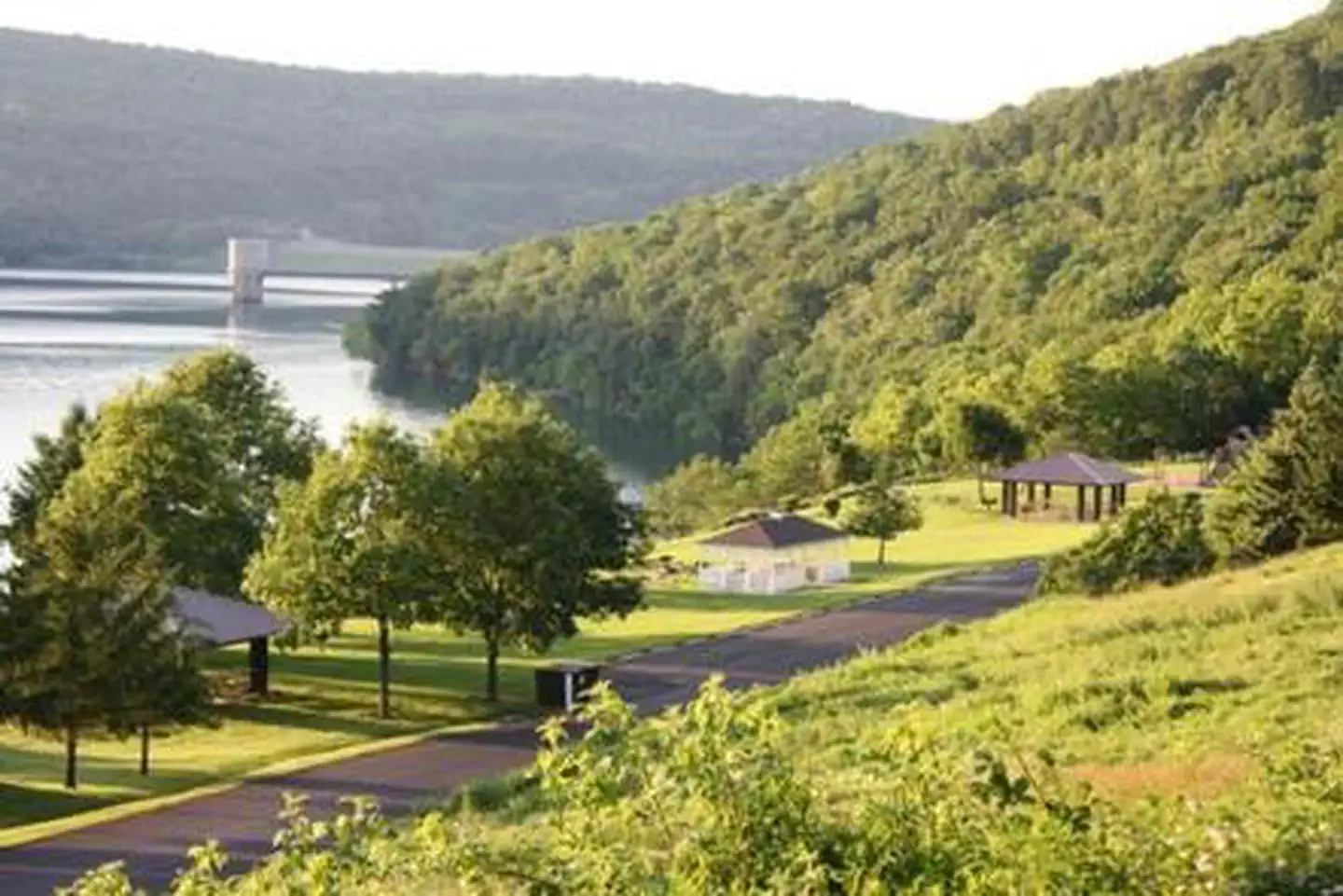
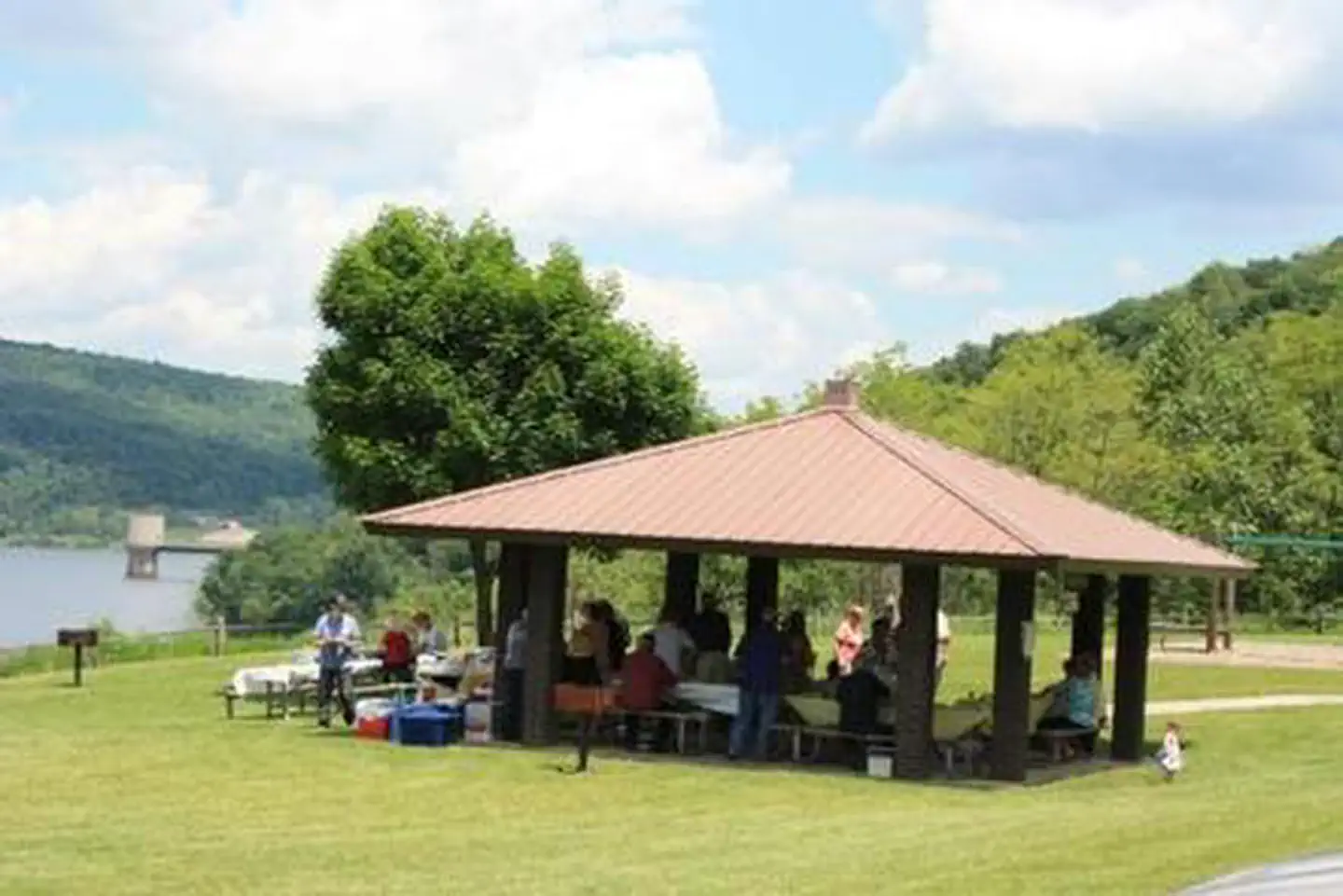
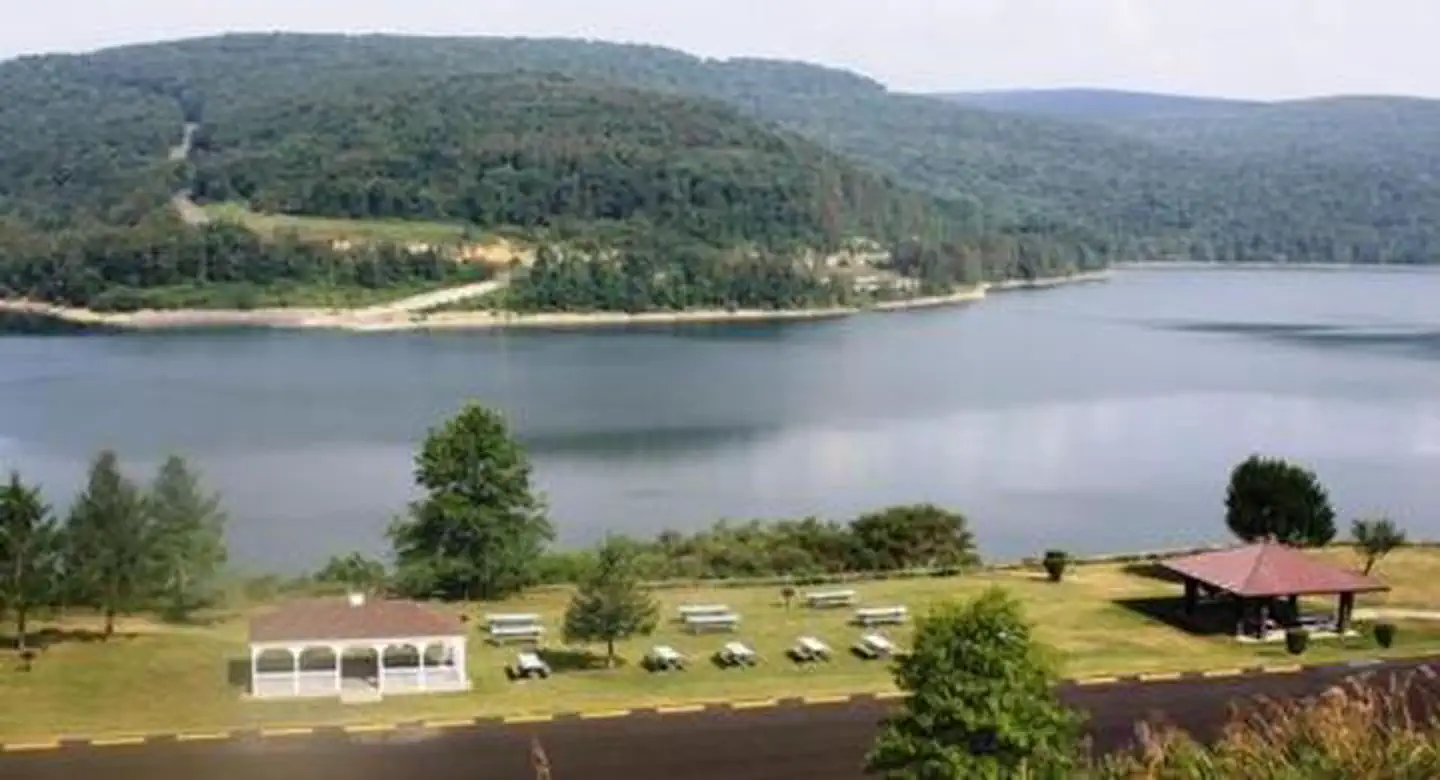
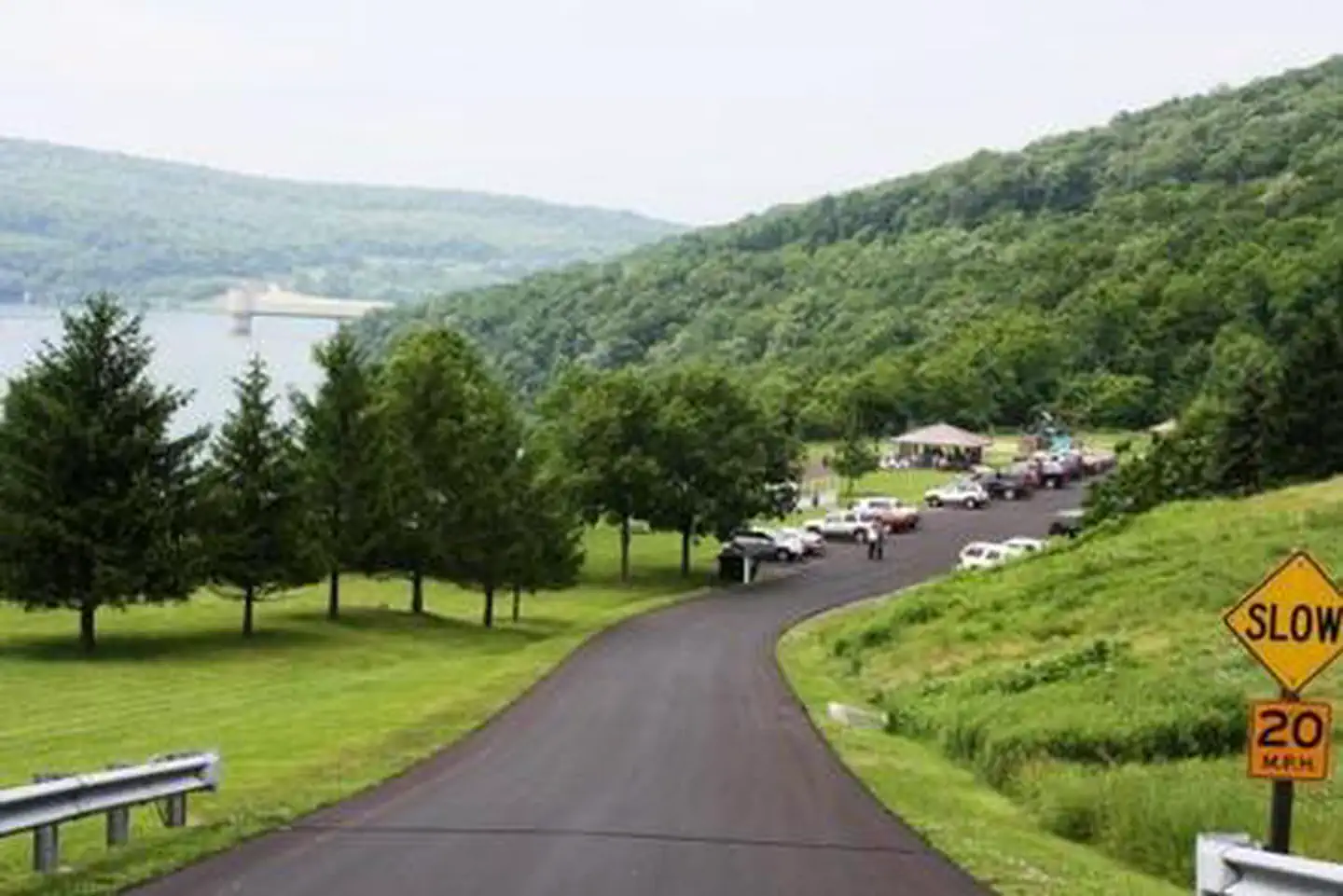
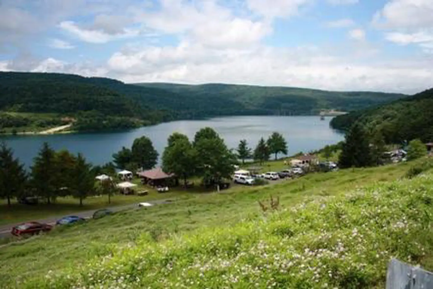
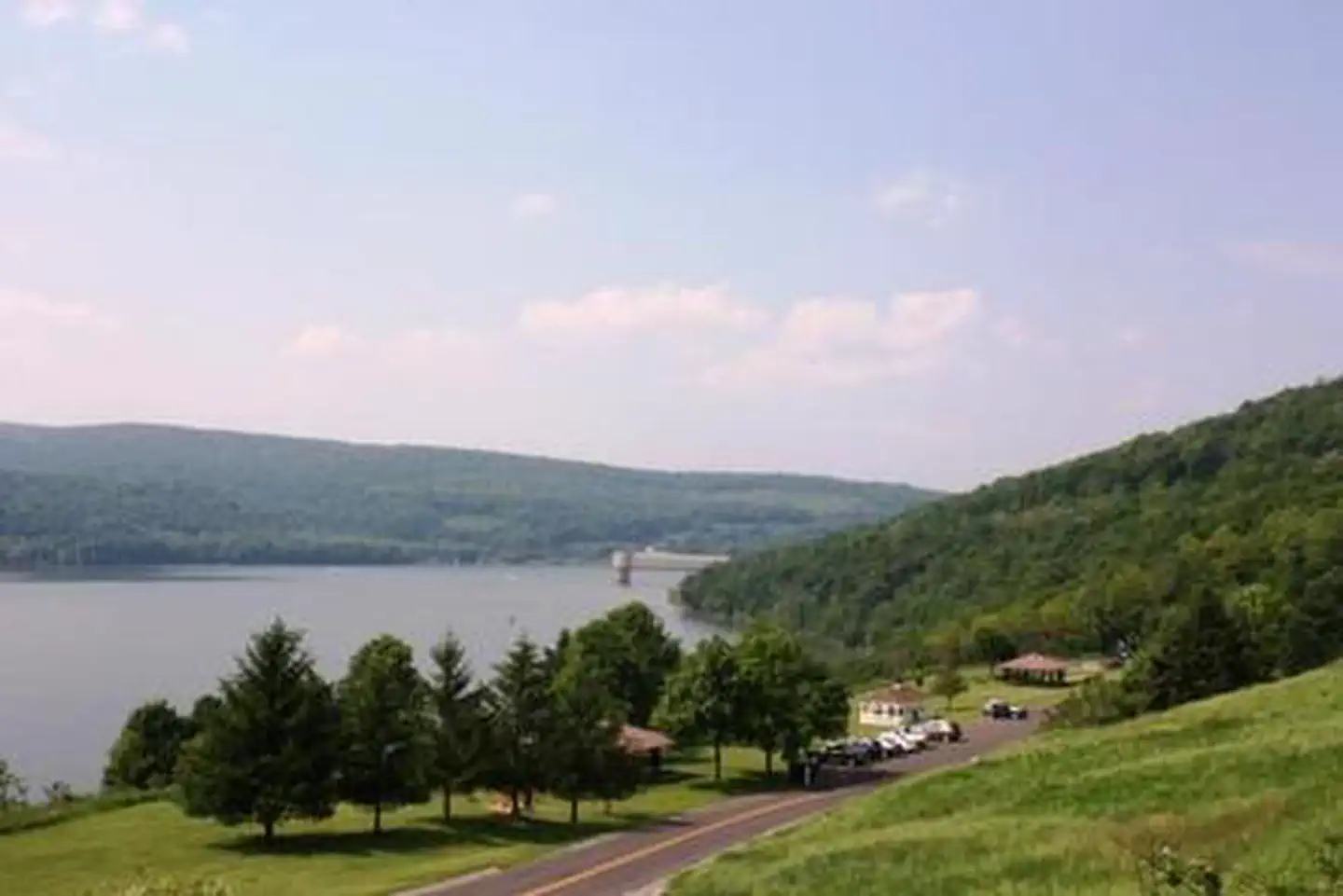
Overview The Howell Run Picnic Area is a day use facility overlooking Jennings Randolph Lake, providing a beautiful backdrop for picnicking, sightseeing and hiking. A nesting pair of bald eagles call Jennings Randolph Lake home. Bring binoculars for the lucky chance to spot a bald eagle. Recreation At the Howell Run Picnic Area, enjoy the panoramic view of the lake. Walk the Lakeside trail which connects the picnic area with the Shaw Beach area. Facilities Shelter #2 is handicap accessible and has running water. It is closest to the restroom and playground equipment. The Gazebo is located in the center of the picnic area. Shelter #1 is the first shelter as you drive in. Each shelter comfortably accommodates groups of up to 30 people in a lovely lakeside setting. Natural Features The Lake spans 952 acres in the rugged hills of the West Virginia Allegany Mountains. Nearby Attractions A mile down the road is Shaw Beach where you can enjoy swimming. The project offers facilities for hiking, fishing, biking, swimming, boating and camping.
From the managing agency.
Is Howell Run Picnic Area free?
We do not have a fee on record for Howell Run Picnic Area. Confirm the cost locally before you go.
How do I get to Howell Run Picnic Area?
Howell Run Picnic Area is at 39.4169, -79.1272. We do not hold written directions for this one, so navigate to the coordinates.
Nearby
- ROBERT W CRAIG0.6 mi
- Irons Mountain Hiker-Biker Campsite24.0 mi
- Spring Gap Campground24.1 mi
- MILL RUN RECREATION AREA24.8 mi
- Evitts Creek Hiker-Biker Campsite25.2 mi
- Pigmans Ferry Hiker-Biker Campsite26.8 mi
- Somerfield North Recreation Area27.4 mi
- Red Creek Campground28.4 mi
No other services within 50 mi on the record.
SourceSource data is agency published. Last synced September 19, 2026. Community reports and photos are submitted by travelers and are not verified by the agency.
