
TAMARACK CABIN
Campground · Fee not listed
Fast facts
- Cost
- Not listed. Check locally.
- Type
- Campground
- Phone
- 541-676-9187
- Nearest dump station
- Bull Prairie Campground · 7.2 mi
- Coordinates
- 44.8734, -119.6619
- Last verified
- September 19, 2026
About this place
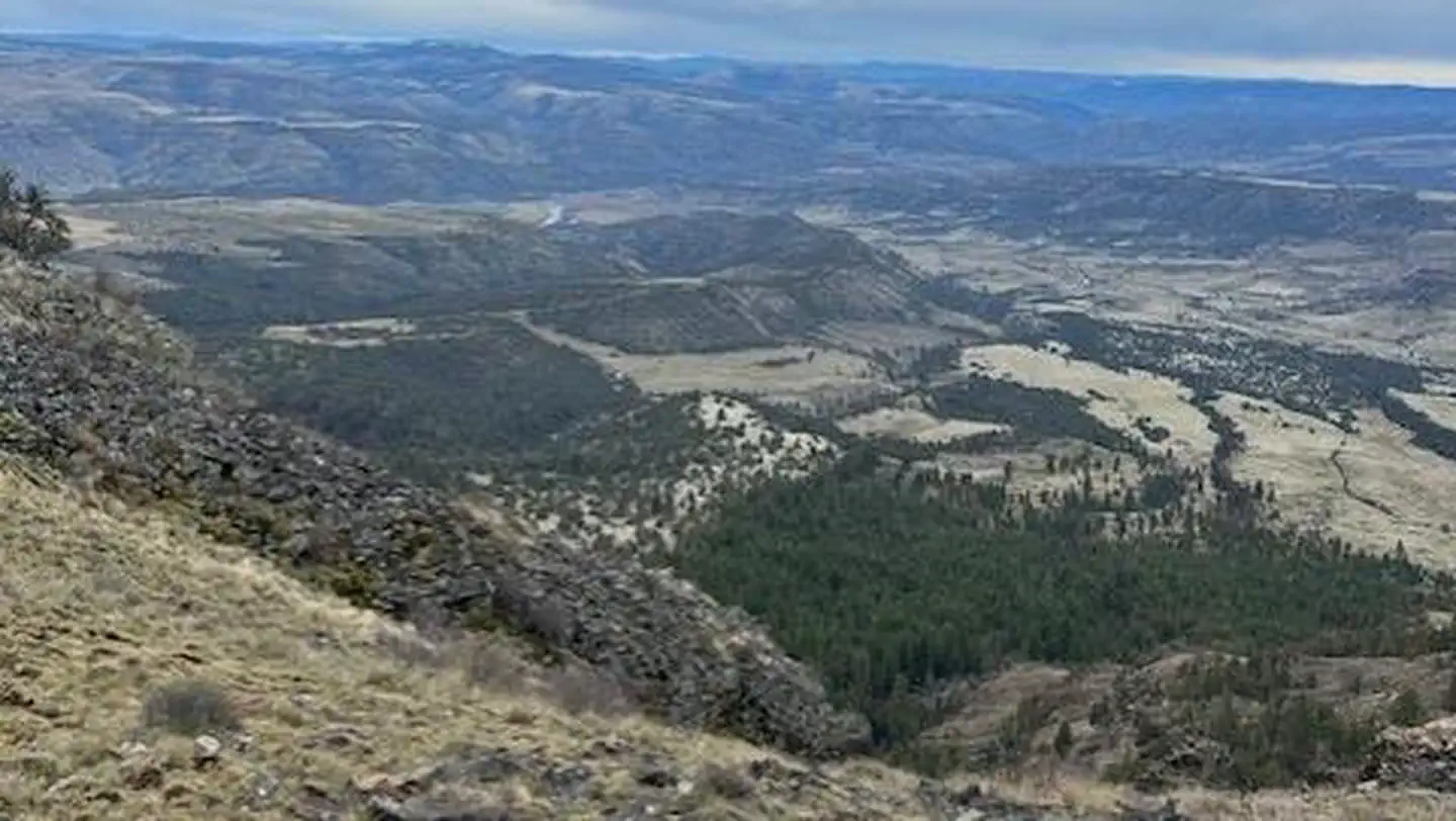
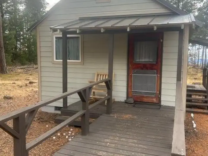
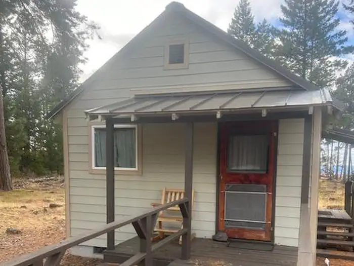
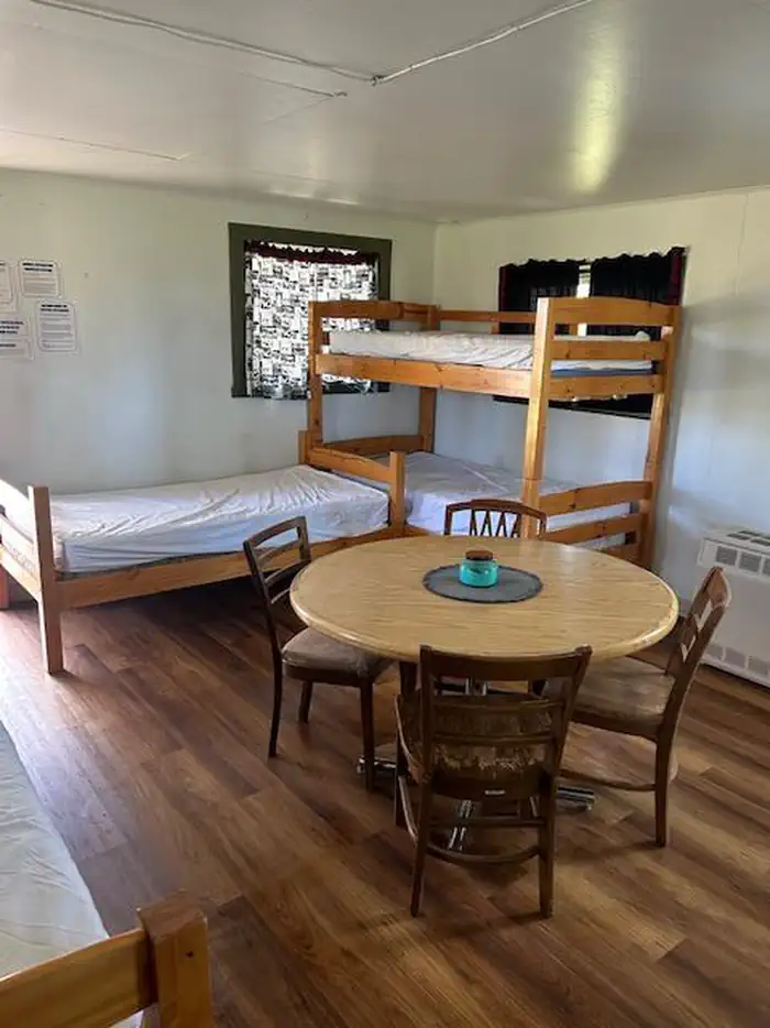
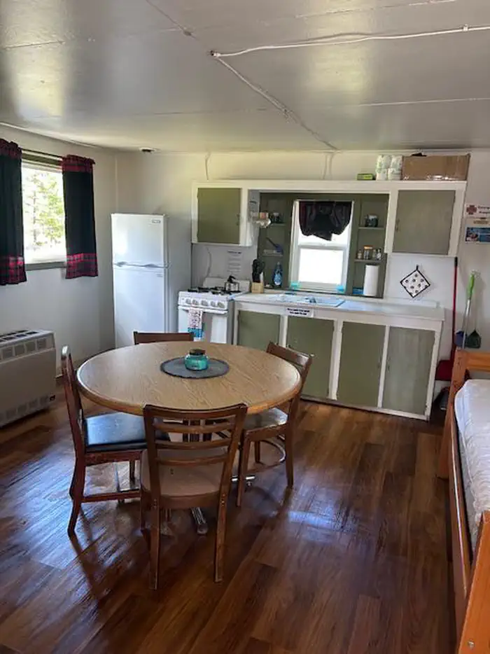
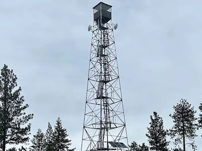
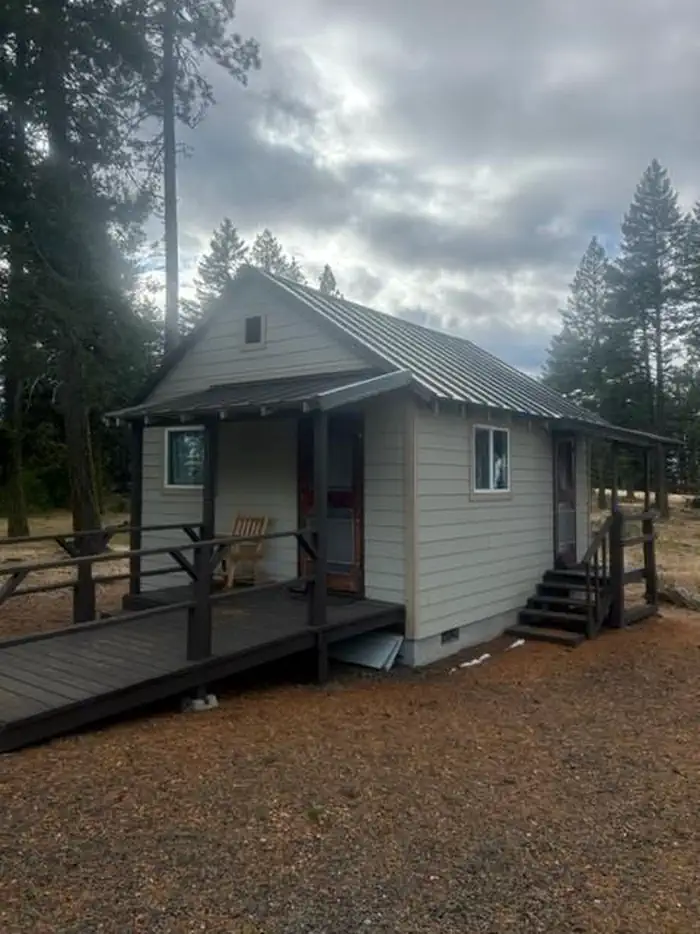
Overview Tamarack Cabin offers outdoor enthusiasts a quaint cabin with epic views atop Tamarack Mountain. The cabin can accommodate four guests, and a short walk through the trees awards a unique opportunity to view miles of the Umatilla National Forest from sunup to sundown. The site was originally used as a fire detection lookout. The original structure was a platform built on a high tree in 1925. It was replaced with a 96-foot Aermotor tower in 1933, and a neighboring cabin was built to house Forest Service employees. A utility shed was also built. When the cabin burnt down in 1966, the shed was converted into housing. That same shed is where guests can stay today. The tower is also still standing, and when the tower is staffed, visitors are welcome to climb up and enjoy the view. Recreation Over 26 miles of hiking and horseback riding trails on the Heppner Ranger District can be accessed from the cabin. Plentiful fishing opportunities abound in nearby streams and Bull Prairie Lake. Many roads are open to off-road vehicles, and 28 miles of designated trails are available. Other activities include hunting, wildlife viewing and bird watching. This site is not open in the winter. Facilities This cozy converted shed offers one room with amenities including propane lights, a heating stove and cook stove, refrigerator, cookware, silverware, and dishes. Furnishings consist of two sets of twin bunkbeds, a cabinet for clothes, table with four chairs, and a rocking chair on the small front porch. There is a picnic table and fire ring outside, though fire danger may restrict campfires, so check for conditions with the Ranger District prior to arrival. There is also a nearby outhouse. There is no water onsite, so visitors must bring plenty of water for drinking, cooking, and washing. Guests must bring food, water, ice chest and ice, bedding, toiletries, a first aid kit, flashlights, matches and all other basic camping gear. Natural Features At 4,979 feet above sea level, Tamarack Mountain overlooks the John Day River basin between Spray and Kimberly. The lookout and the mountain it tops are named after the western larch, a tree that is particularly plentiful in the Blue and Wallowa Mountains. Western tanagers and dusty flycatchers frequent the area and purple-blue spikes of lupine, white and pink yarrow and yellow balsamroot add bursts of color to the landscape. Nearby Attractions Spray is the nearest town with a general store, gas, and propane which is about a half hour drive away. Heppner is about one hour away with a larger variety of stores for your recreational needs. Off-road vehicle enthusiasts enjoy Morrow County OHV Park, located 14 miles north on HWY 207. There are some food options, ice, and propane for sale at this site.
From the managing agency.
Is TAMARACK CABIN free?
We do not have a fee on record for TAMARACK CABIN. Confirm the cost locally before you go.
How do I get to TAMARACK CABIN?
TAMARACK CABIN is at 44.8734, -119.6619. We do not hold written directions for this one, so navigate to the coordinates.
Nearby
SourceSource data is agency published. Last synced September 19, 2026. Community reports and photos are submitted by travelers and are not verified by the agency.
